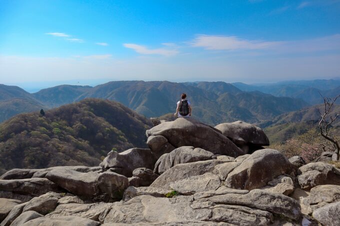

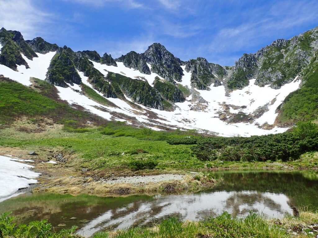
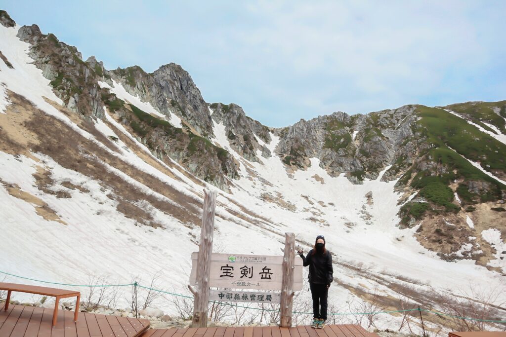
Located in the heart of Central Alps, Senjojiki Cirque is one of Japan’s most accessible high-mountain landscapes. Sitting at an elevation of 2,612 meters, this glacial basin offers a clear view of alpine terrain that would normally require hours of climbing to reach.
The cirque was formed around 20,000 years ago during the last ice age, when glaciers carved out a wide, semi-circular basin. Today, it is accessible via the Komagatake Ropeway, Japan’s first mountain ropeway serves as a wonderful location for casual visitors and experienced hikers alike to experience the beauty of the Japanese Alps.
Formation and Geography of Senjojiki Cirque
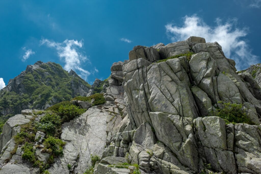
Formed by glacial movement during the last ice age, Senjojiki Cirque is a classic example of a cirque, a bowl-shaped depression created by erosion. Its name comes from its size, said to be equivalent to 1,000 tatami mats.
The cirque sits below Mount Hoken and within reach of Mount Kiso-Komagatake, one of Japan’s 100 Famous Mountains. The surrounding peaks rise sharply, creating a contained alpine environment with clear sightlines across the range.
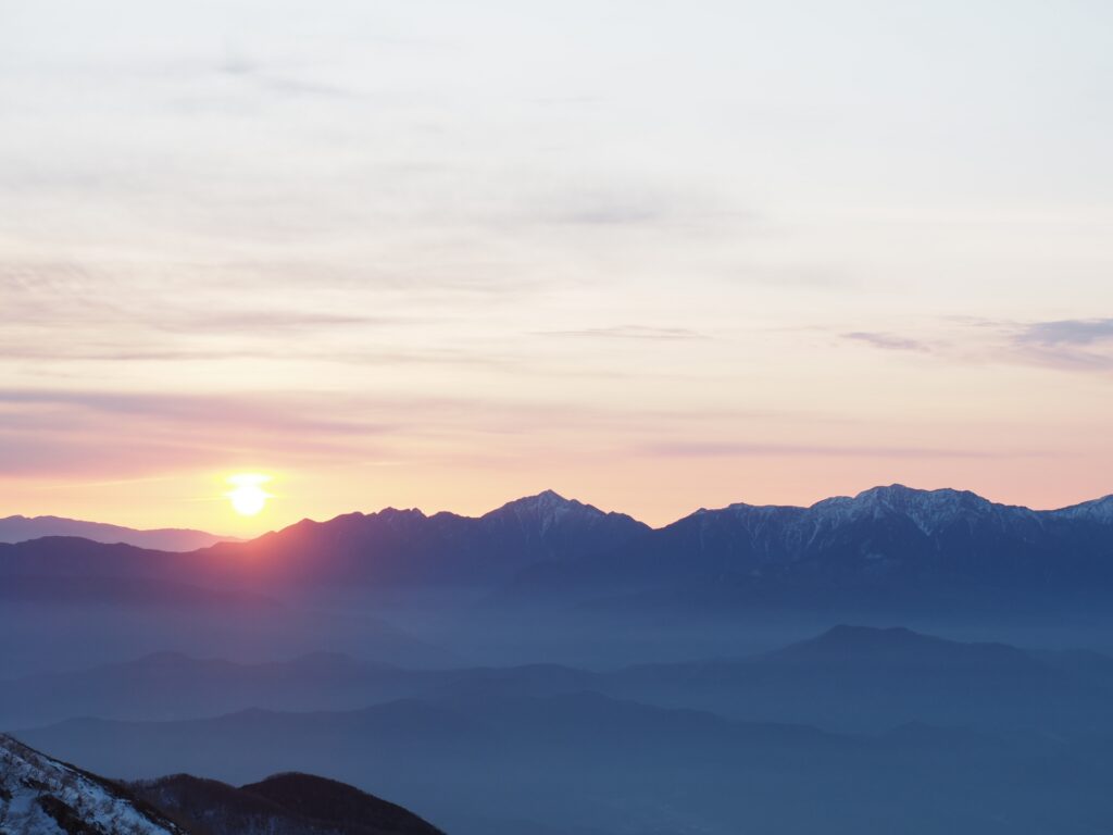
On clear days, visibility extends far beyond the Central Alps. You can see the Southern Alps and even Mount Fuji in the distance.
Access via the Komagatake Ropeway
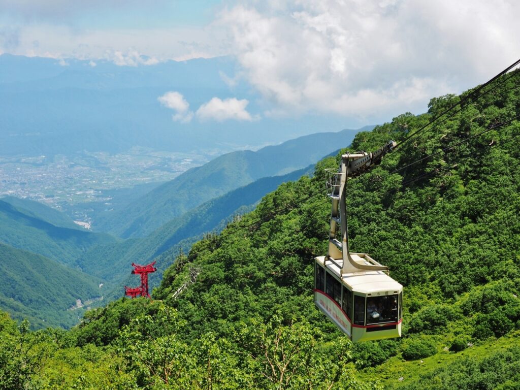
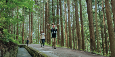
The Senjojiki Cirque is accessible by both hiking trails and the Komagatake Ropeway, making it great for hikers of all levels.
The Komagatake Ropeway was Japan’s first mountain ropeway, and also the highest.
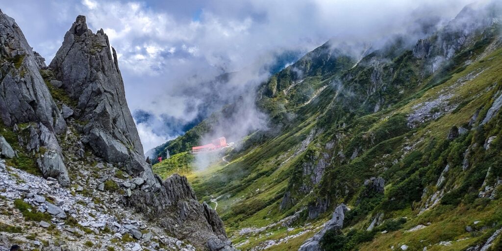
The ropeway connects two stations, Shirabidaira Station (1,662m) and Senjojiki Station (2,612m), in approximately 7.5 minutes, covering a vertical rise of 950 meters. This also makes it the largest elevation gain of any ropeway in Japan.
From Senjojiki Station, you step directly into the alpine zone with minimal effort.
Private vehicles are not permitted beyond the lower access point. So all visitors must use a combination of bus, ropeway, or hiking trail to reach the cirque.
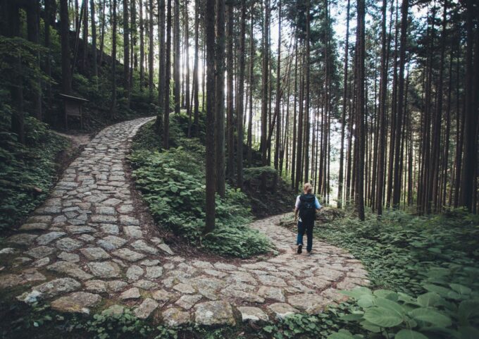
Walking Routes and Hiking Options
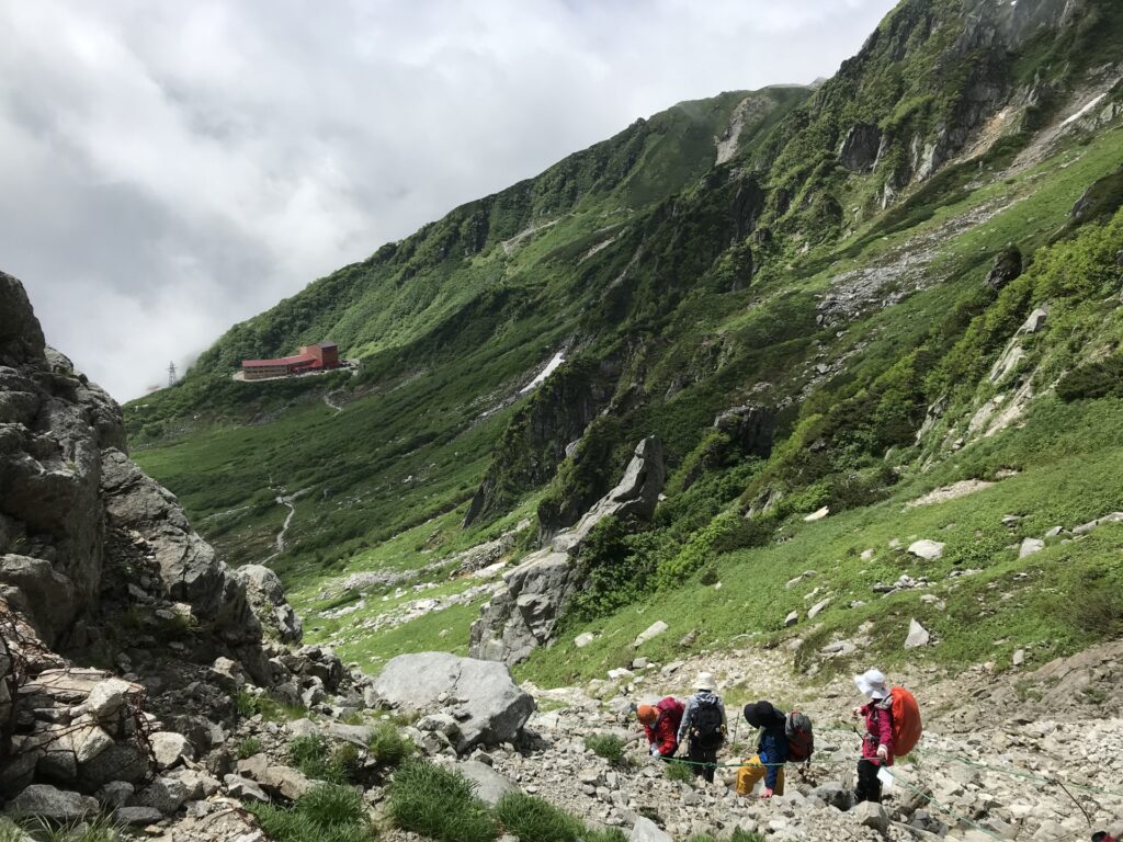
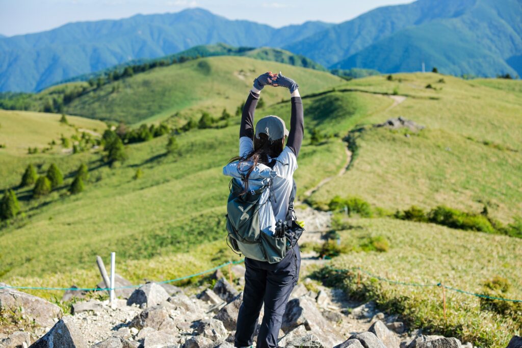
After using the ropeway to summit most of the mountain, there are several options for hiking around Senjojiki Cirque. In this next section, we'll cover each route and what level of hiker it is most suitable for.
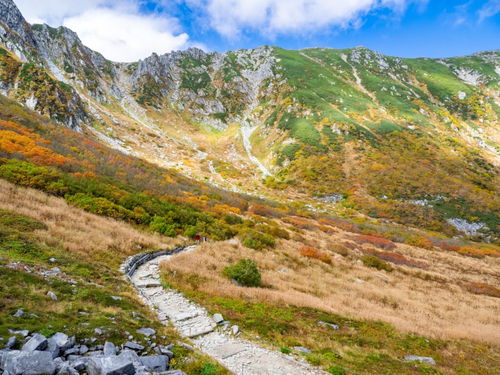
Senjojiki Cirque Loop Walk
A well-maintained walking path loops through part of the cirque and can be completed in 40 to 60 minutes. This route is suitable for most visitors and provides clear views of the surrounding peaks and alpine vegetation.
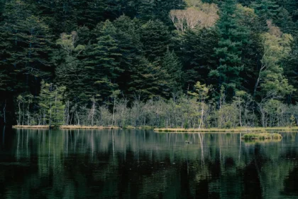
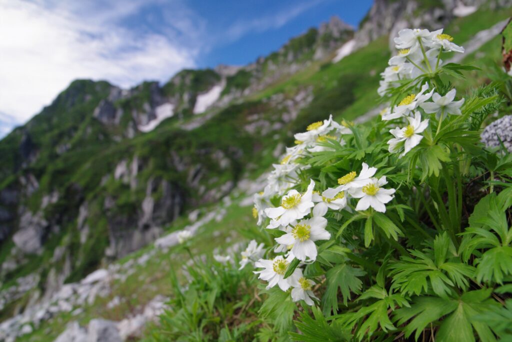
A highlight along the route is Kengaike Pond, a common photography spot where reflections of the mountains and seasonal plant life are visible.
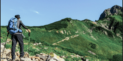
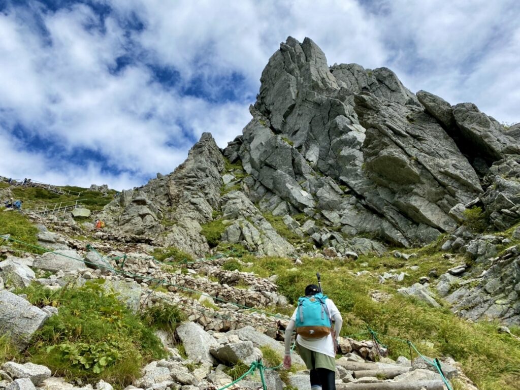
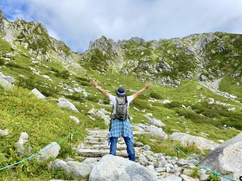
Mount Kiso-Komagatake Summit Hike
For those with proper equipment, the hike to Mount Kiso-Komagatake (2,956m) is the most popular route.
- Time: 4 hours round trip from Senjojiki Station
- Difficulty: Moderate to strenuous
This route provides a direct path into higher alpine terrain and is suitable for hikers with experience and appropriate gear.
Nogaike Pond Route
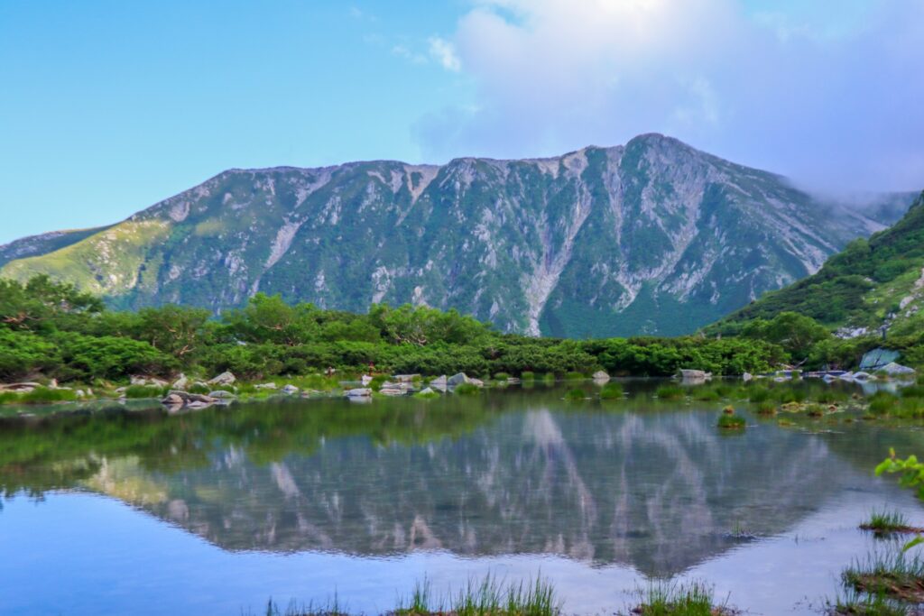
A longer option leads to Nogaike Pond, a glacial pond known for alpine plants and autumn foliage.
- Time: 5 hours round trip
- Terrain: Steep in sections
This route is less crowded and offers a more extended experience of the alpine environment.
Seasonal Highlights in the Cirque
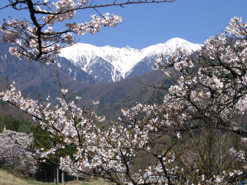
Spring (April–June)
Snow remains across much of the cirque. This is one of Japan’s few accessible spring snowfields, with limited seasonal skiing in nearby areas. Snowshoeing and back country skiing is also possible.
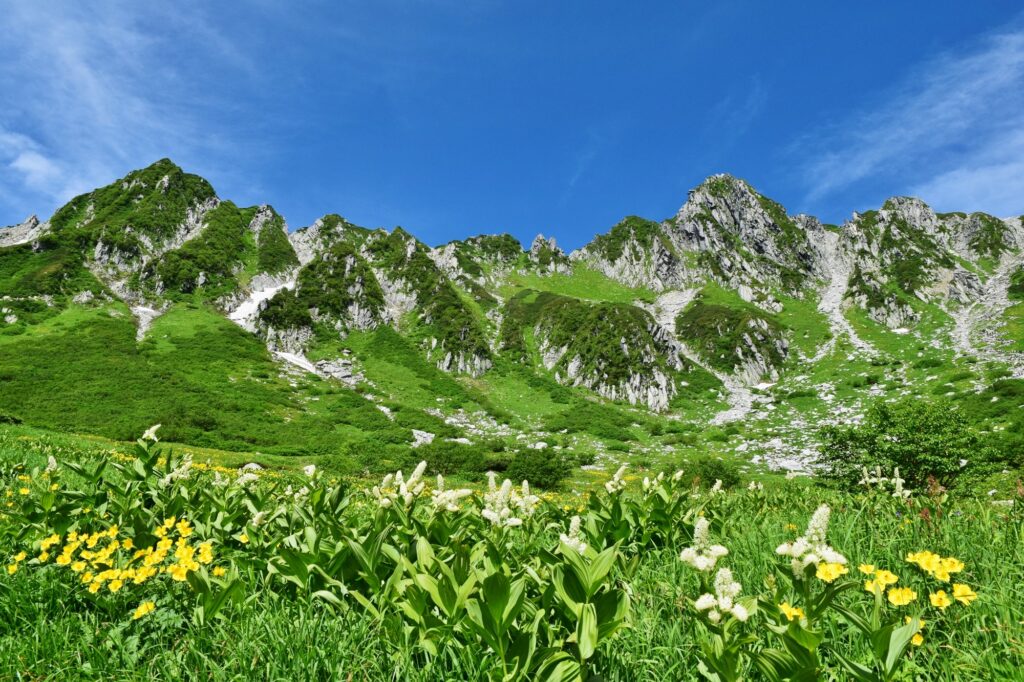
Summer (July–August)
Peak season for hiking. Around 150 species of alpine plants bloom across the cirque. Temperatures are mild, typically around 20°C at most.
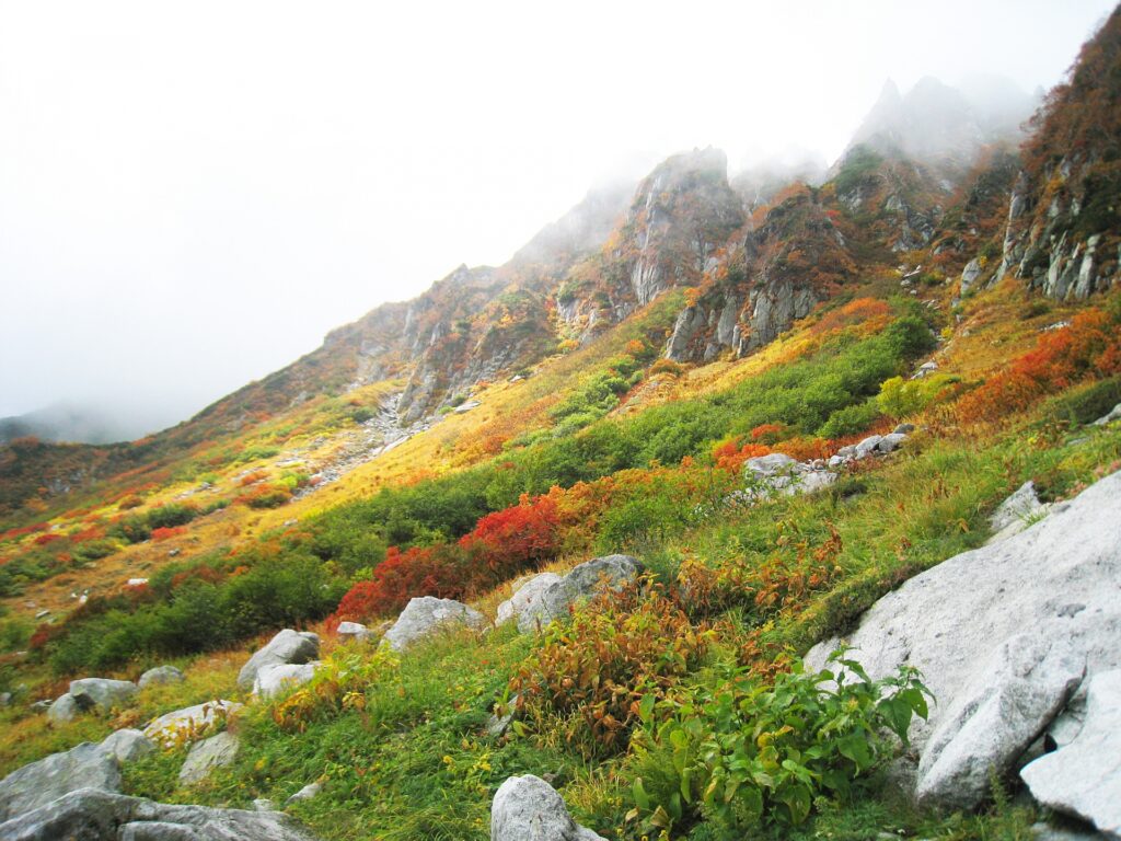
Autumn (September–October)
Foliage begins in late September. The combination of red and yellow leaves, green dwarf pines, and exposed rock creates clear contrast. Early snow may appear by mid-October.
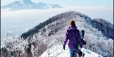
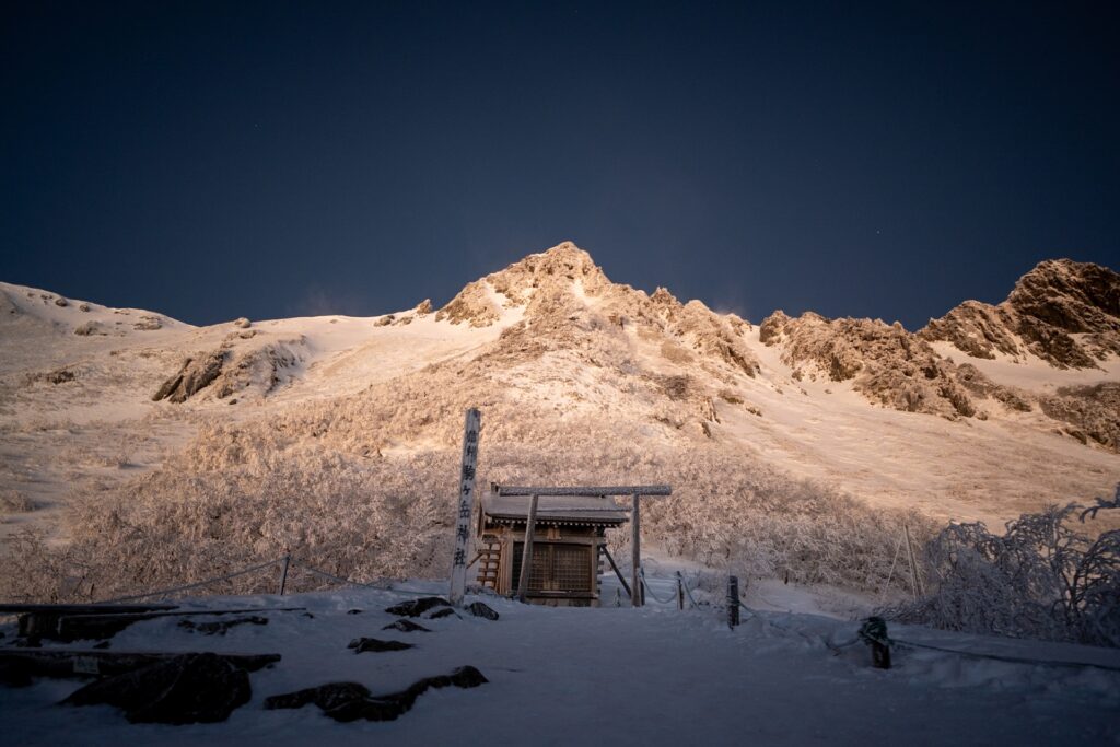
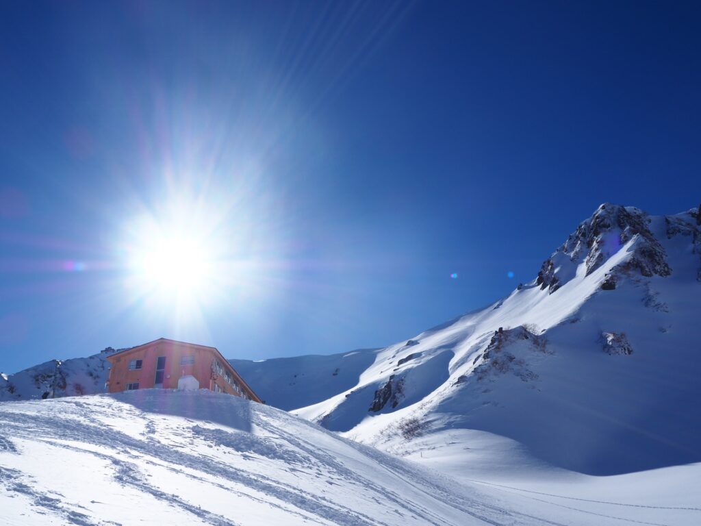
Winter (November–March)
Conditions are severe, with temperatures dropping below -20°C. Snow cover is extensive, and access may be limited depending on weather. This season is best suited to experienced visitors.
Safety and Practical Information
Conditions in the alpine zone are significantly different from those at lower elevations.
- Temperature: Even in summer, average daytime temperatures are around 12°C
- Clothing: Layers are essential; light clothing is not sufficient
- Footwear: At minimum, wear proper walking or hiking shoes
- Weather: Conditions can change quickly; rain gear is required
- Hazards: Lightning risk is high on exposed ridges
Do not attempt hikes in sandals or casual clothing. Crampons and ice picks are required for everyone hiking in winter.
Frequently Asked Questions (FAQ)
How do you get to Senjojiki Cirque?
Access is via bus to Shirabidaira Station, followed by the Komagatake Ropeway to Senjojiki Station.
NAGOYA → SENJOJIKI/KOMAGATAKE ROPEWAY
- Duration:
- 2-3 Hours
- Spots:
- Nagoya, Kiso Valley
Do I need hiking experience to visit?
No. The main loop trail is accessible to most visitors. More advanced routes require proper experience and equipment.
When is the best time to visit?
Summer (July–August) for hiking and flowers, and autumn (late September–early October) for foliage.
Can you see Mount Fuji from the cirque?
Yes, on clear days, along with views of the Southern Alps.
Is it possible to stay overnight?
Yes. Mountain huts are available on nearby peaks, and accommodation is available near the ropeway base.