





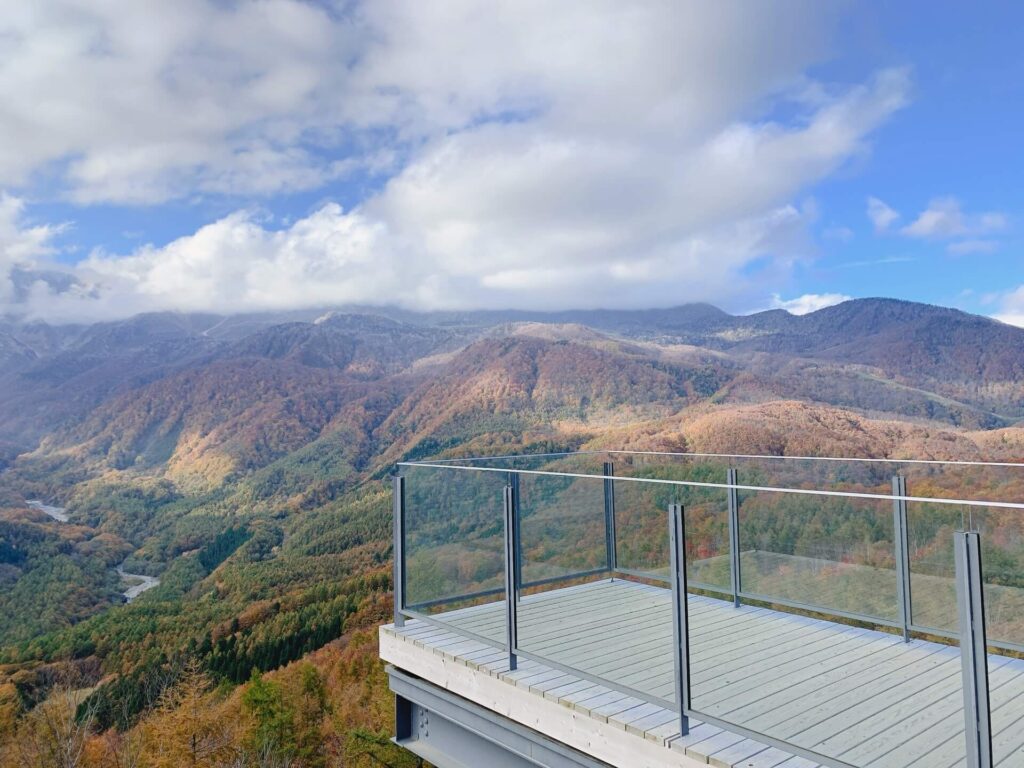
Japan is home to some of the world's most beautiful and iconic mountains, each with its own natural beauty, cultural significance, and fascinating history.
In this article, we explore some of Japan's most famous mountains and the best ones worth traveling to during your time in Japan, highlighting their locations, distinctive features, and what makes each one worth discovering.
Lists of Japan’s Best Mountains
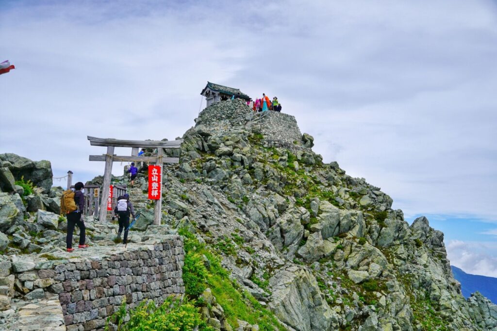
With so many beautiful mountains, naturally, Japanese people started to make lists of the “best” mountains in Japan—often causing debates.
One such list is the “Nihon Meizan Zue” (日本名山図会) (Illustrated Guide to Famous Mountains of Japan), written in the Edo Era, which features 90 mountain associated with shintoism and mountain aestheticism.
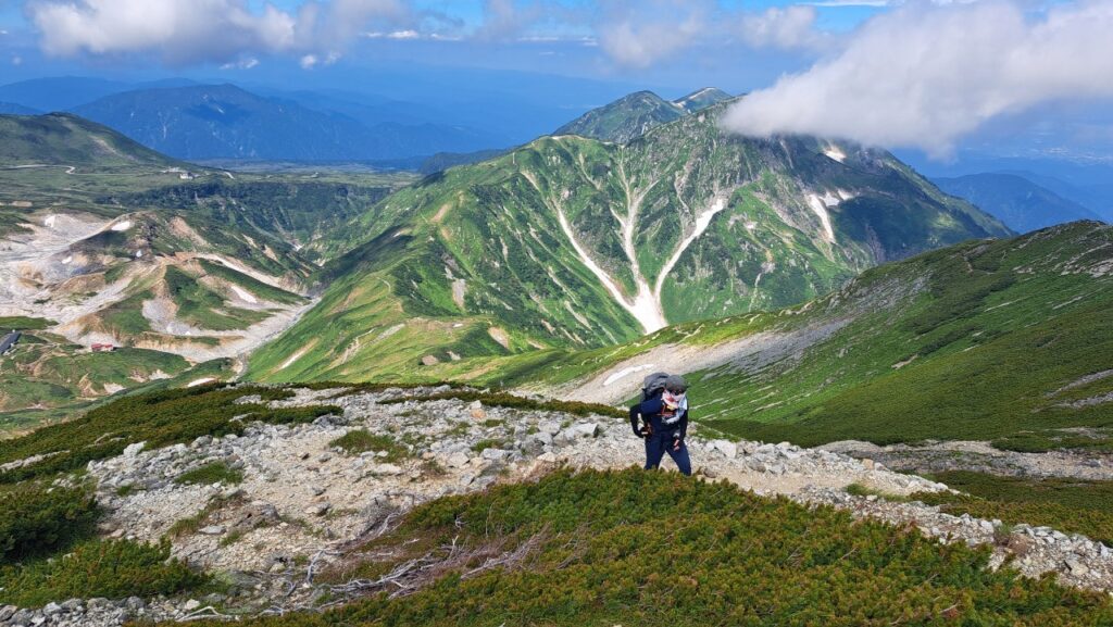
In the 1950’s The Japanese mountaineering magazine Gakujin (岳人) compiled its list of one hundred popular Japanese peaks based on a survey of 54 prominent mountaineering experts, including well-known alpine figures like Akira Okuyama, Matsujiro Kanmuri, and Taro Tsujimura. The evaluation process took over a year to complete before the finalized list, titled "Japan's 100 Famous Mountains Selected by Gakujin" (「岳人」選定による日本百名山), was officially published in the magazine's March 1953 issue.
Unhappy with the selection of mountains, Japanese mountaineer and author Kyūya Fukada released his list of 100 Famous Japanese Mountains (日本百名山, Nihon Hyaku-meizan) in his 1964 book of the same name. Fukada chose these 100 mountains based on three key qualities: beauty, historical significance, and individuality.
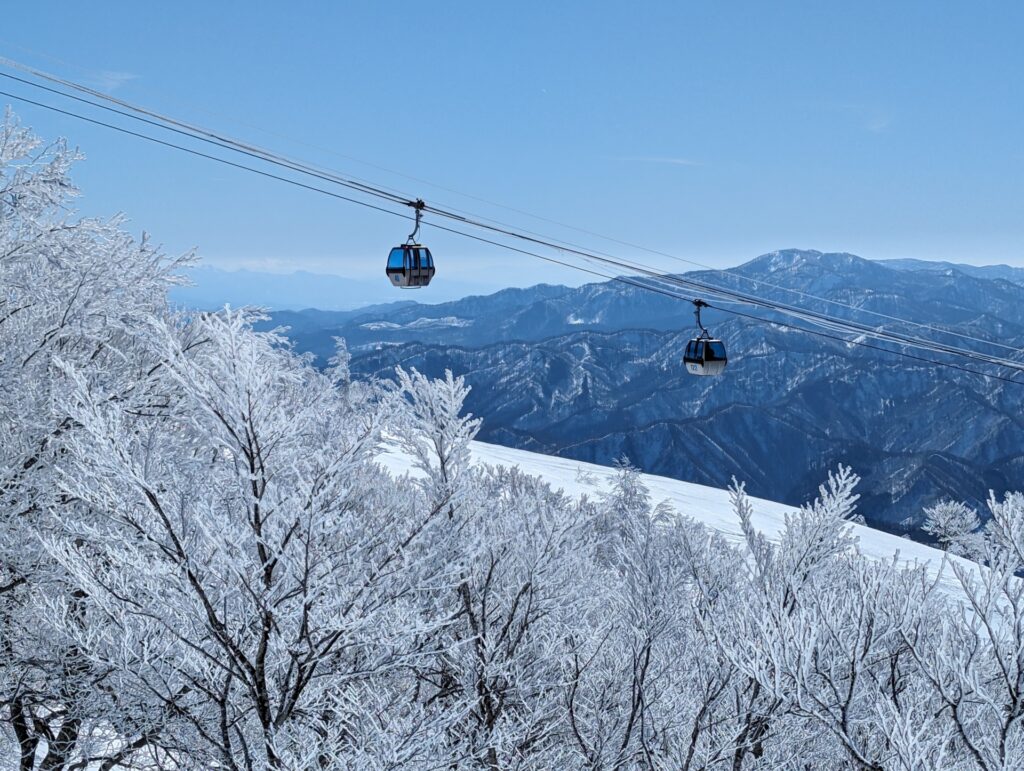
Initially popular among mountaineers and hiking enthusiasts, the list gradually gained nationwide recognition, helped by television documentaries and publications featuring the mountains. Although the original list has sparked debate over its selection criteria and regional representation, it remains one of Japan's most influential guides to its mountain landscape. It has since inspired generations of hikers and climbers, many of whom have made it a personal goal to reach the summit of all 100 peaks.
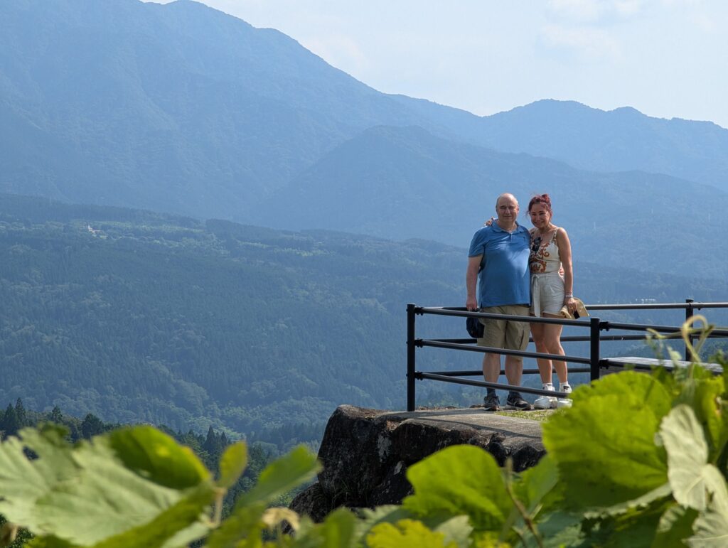
Our list contains some of Japan’s best mountains for travelers to explore during their time in Japan. It includes some of the most historically and culturally significant mountains, as well as those that are most accessible and perfect day trips into nature.
Tohoku region (Aomori, Iwate, Miyagi, Akita, Yamagata, Fukushima)
1) Mount Hachimantai (八幡平)
- Location: Iwate/Akita Prefectures
- Elevation: 1,613 m (5,292 ft)
- Parent Range: Nasu Volcanic Zone
- Listing: “100 Famous Mountains of Japan”
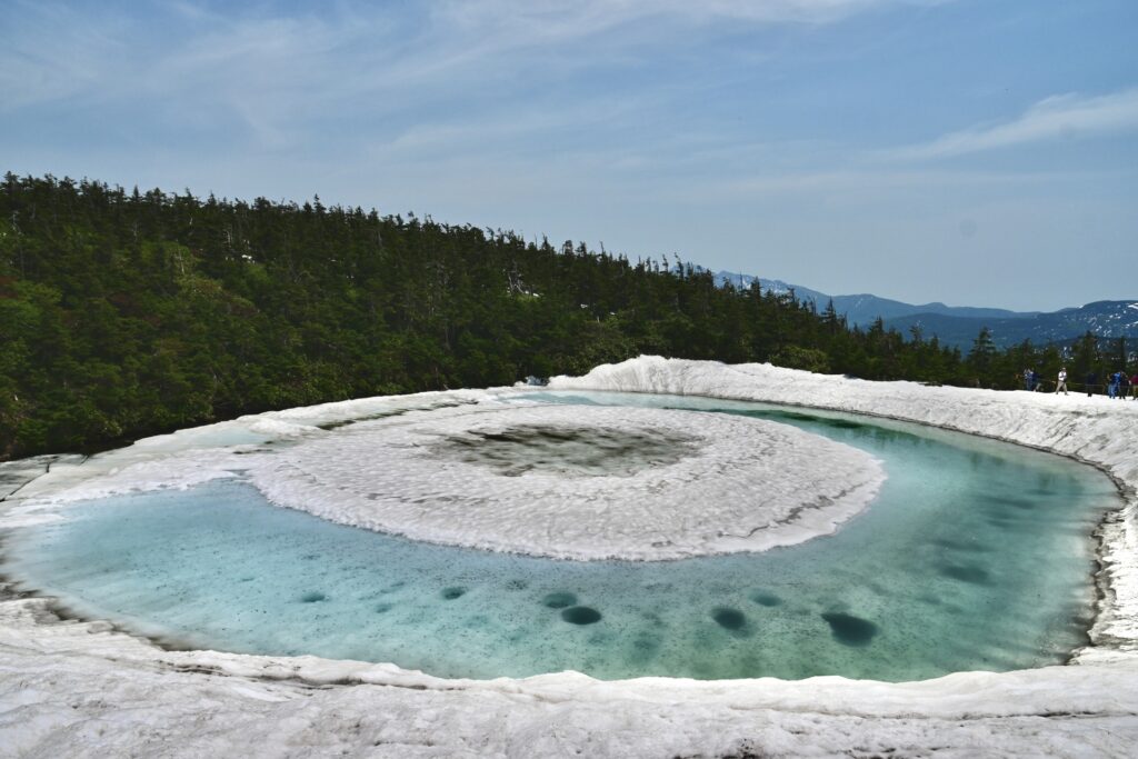
Part of the Towada-Hachimantai National Park, Mt. Hachimantai is known for the Dragon Eye crater, a small volcanic crater pond near the summit.
Many craters were formed on the summit of Mt. Hachimantai by eruptions that occurred 9,000 - 5,000 years ago. As the lakes fill with snow in the winter and subsequently melt each spring, unique patterns, such as the Dragon’s Eye, form on the lake’s surfaces. The Dragon’s Eye is only visible for about two weeks from late May to mid-June, depending on winter snow levels and spring weather.
The area around Hachimantai is one of the leading hot spring regions in Tohoku.
2) Mount Haguro (羽黒山)
- Location: Yamagata Prefecture
- Elevation: 414 m (1,358 ft)
- Parent Range: Dewa Mountain Range
- Listing: “Michelin Green Guide Japan”, “Three Mountains of Dewa”
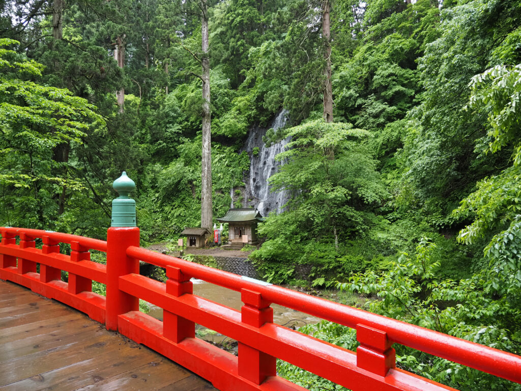
It is believed that over 1,400 years ago, Prince Hachiko, the son of Emperor Sushun, opened Mt. Haguro for shugendo worshippers. Today, Dewa Shrine is located at the top of the mountain and is still a popular place for religious pilgrimages and travelers.
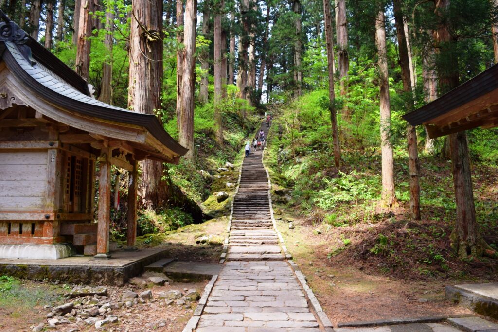
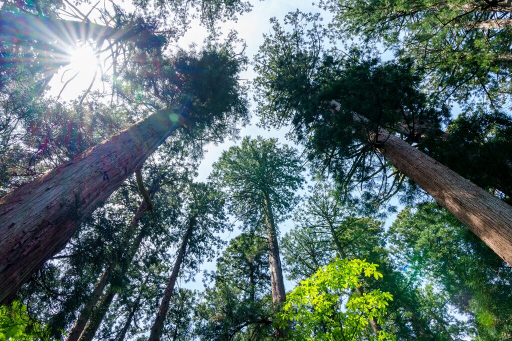
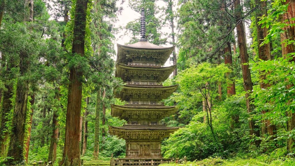
The path from the base of the mountain to Dewa Shrine is about 2 kilometers, and consists of 2,446 stone steps. Lining the path, 300 to 500-year-old Japanese cedar trees tower overhead. Besides one of the oldest trees (roughly 1,000 years old) there is a 5-story pagoda.
While we highly recommend the walk up the mountain, there is a bus service to Dewa Shrine for those who are not able to trek up the 2,000+ stone steps.
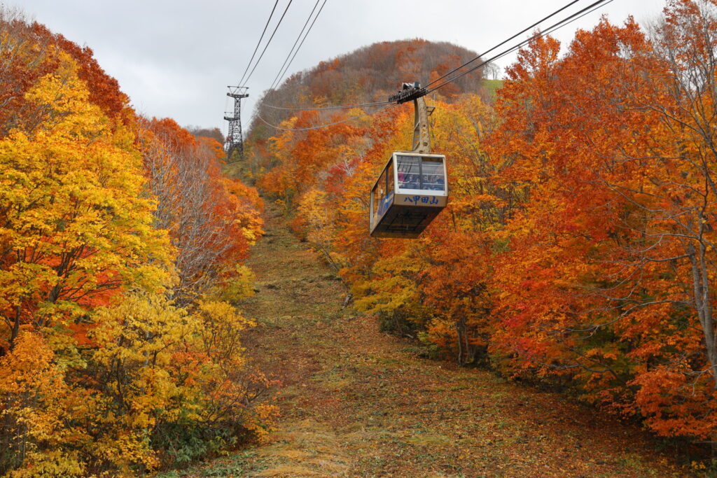
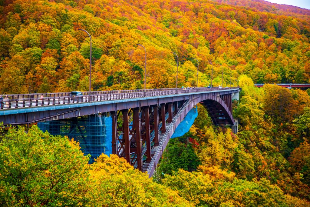
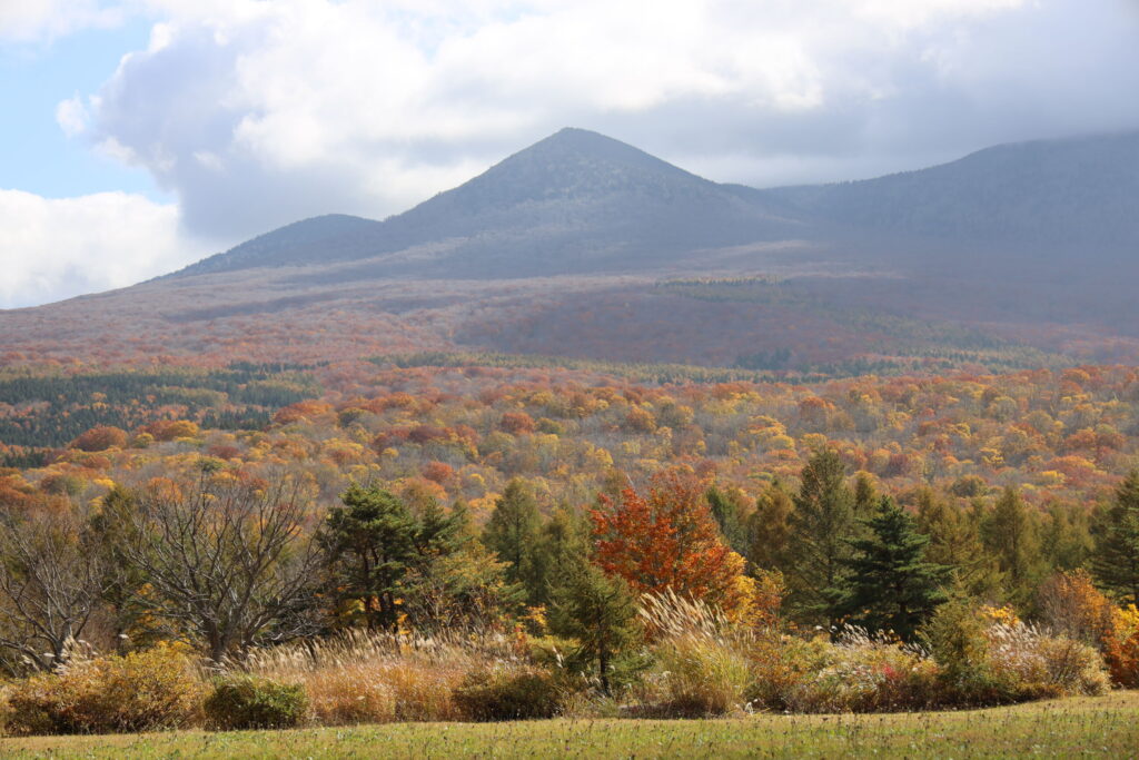
3) Mount Hakkoda (八甲田山)
- Location: Aomori Prefecture
- Elevation: 1,584 m (5,197 ft)
- Parent Range: Ou Mountains
- Listing: “100 Famous Mountains of Japan”
Often called Mount Hakkōda (八甲田山, Hakkōda-san), it is actually a complex of active volcanoes. The highest peak is Mount Odake and is accessible for hikers from May to November.
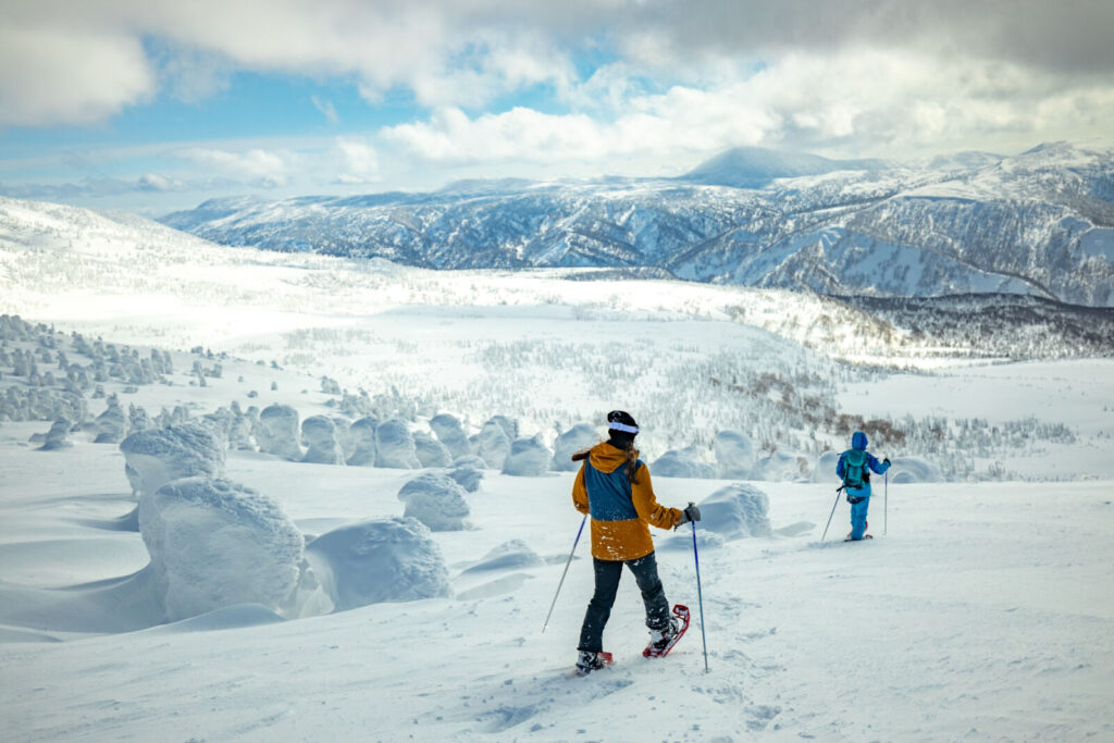
The area attracts many climbers, skiers, and day trippers looking to experience Japan’s backcountry. The Hakkōda Ropeway provides visitors year-round access to the northern side of the complex with several hiking trails that cross the mountains.
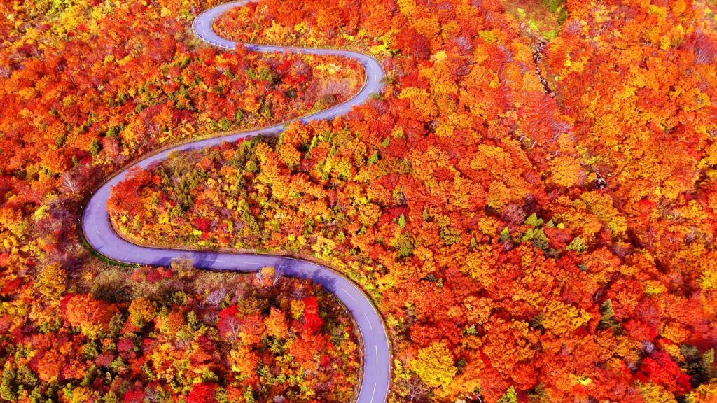
4) Mount Iwaki (岩木山)
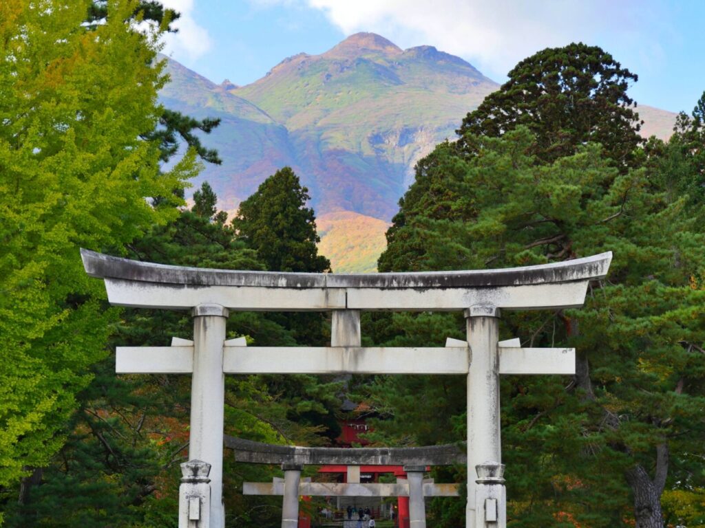
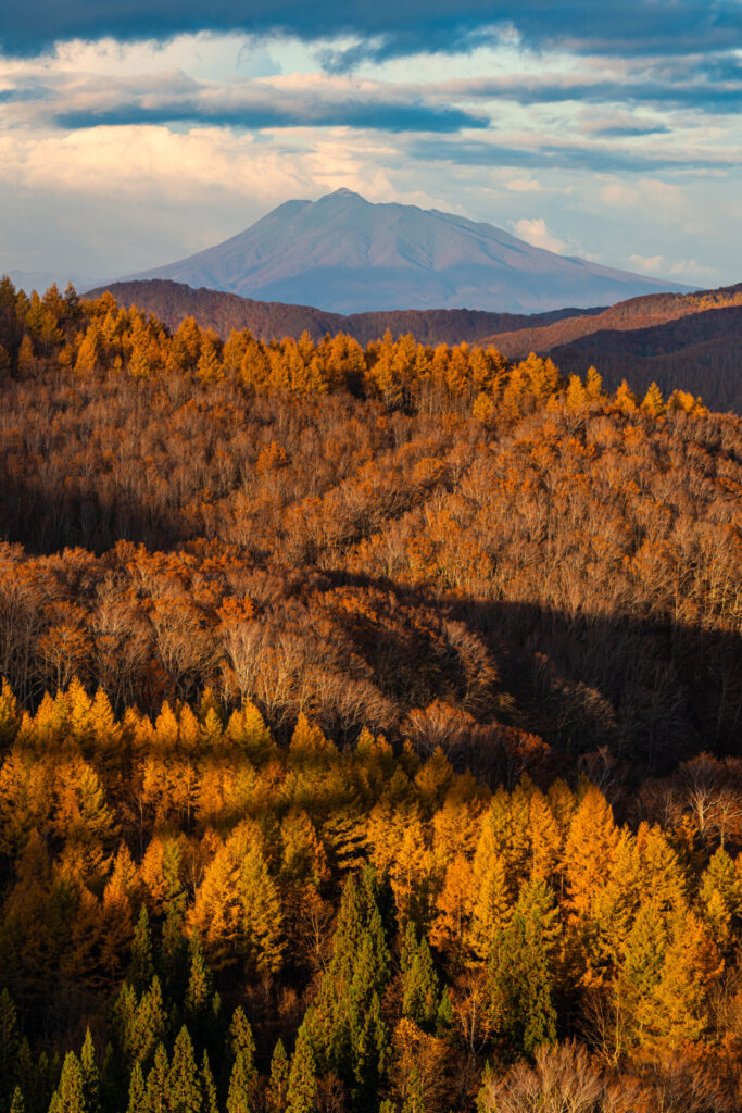
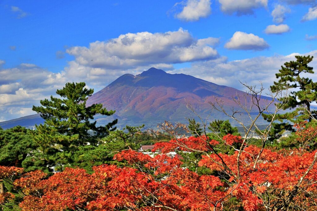
- Location: Aomori Prefecture
- Elevation: 1,624.6 m (5,330 ft)
- Parent Range: Ou Mountains
- Listing: “100 Famous Mountains of Japan”
Mt. Iwaki is the highest mountain in Aomori Prefecture and is often referred to as "Tsugaru Fuji" (津軽富士) as it slightly resembles the iconic mountain.
5) Mount Kurikoma (栗駒山)
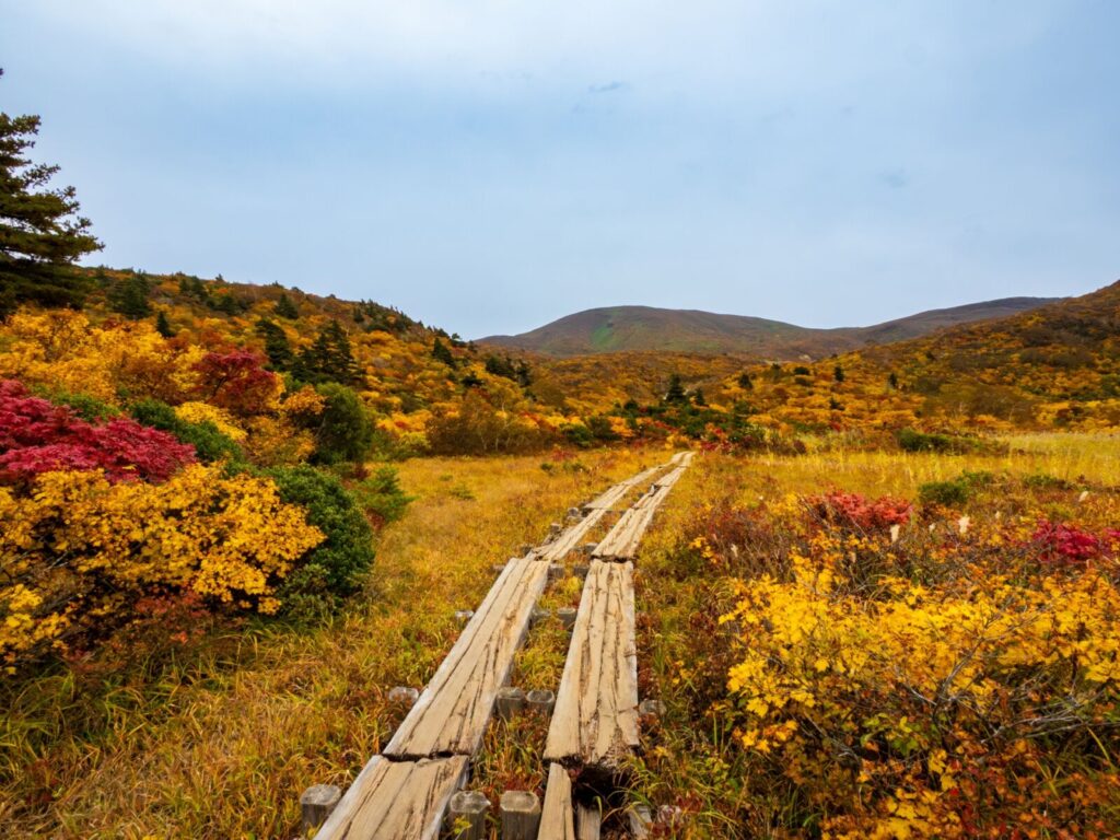
- Location: Iwate Prefecture
- Elevation: 1,627 m (5,338 ft)
- Parent Range: Ou Mountains
- Listing: “Japan's 100 Famous Flower Mountains”
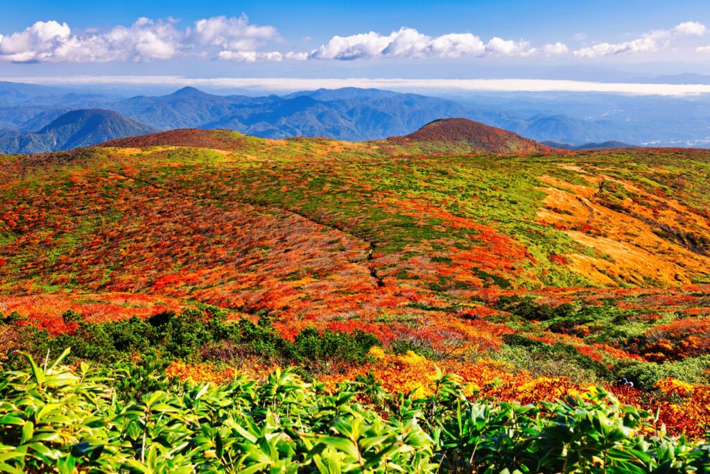
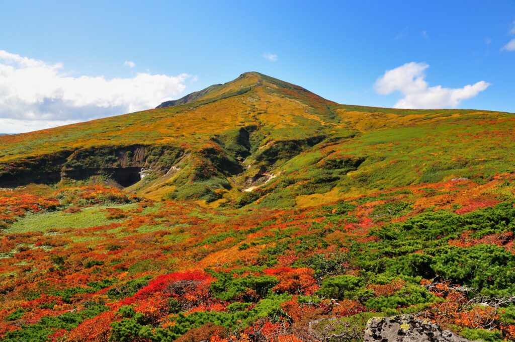
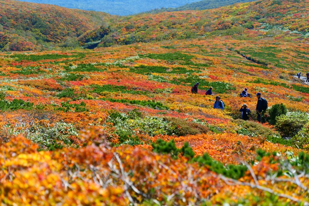
Mt Kurikoma is located in Kurikoma Quasi-National Park and attracts many visitors every year due to the hot springs and beautiful foliage surrounding the mountain.
The mountain is home to 150 unique species of alpine plants earning the mountain the title of “God’s Carpet”.
6) Mount Moriyoshi (森吉山)
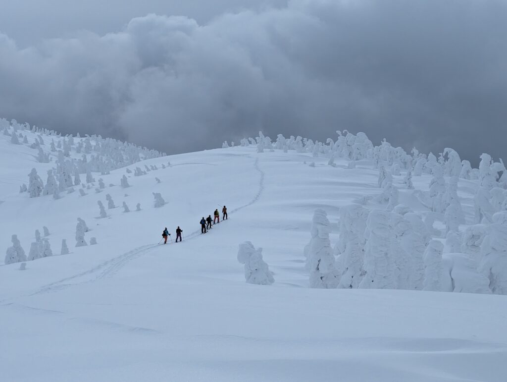
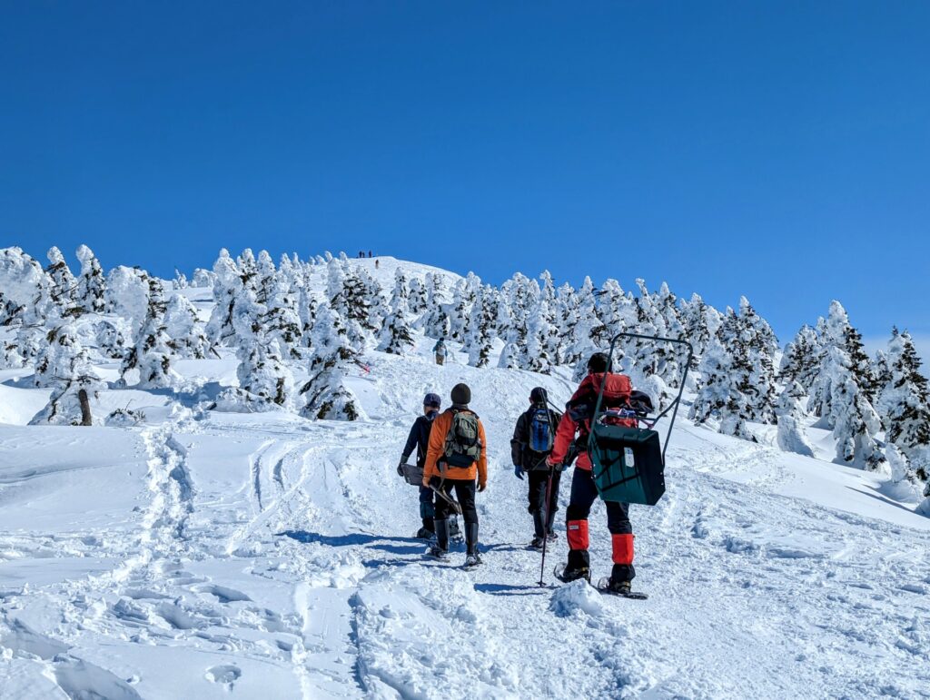
- Location: Akita Prefecture
- Elevation: 1,450 m (4,770 ft)
- Parent Range: isolated peak
- Listing: “Japan's 100 Famous Flower Mountains”
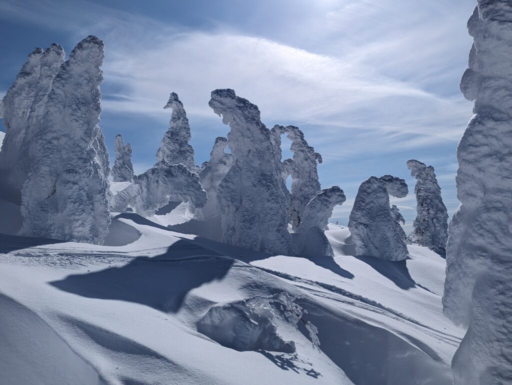
A dormant volcano, Mt. Moriyoshi is one of the highest points in northern Akita and is a popular destination for viewing “snow monsters”.
Fun Fact: Mt. Moriyoshi was a setting for the 2009 Korean Drama "IRIS," in which one of the main characters has to tread across the barren winter wasteland.
7) Yamadera (Mount Honju) (宝珠山)
- Location: Yamagata Prefecture
- Elevation: 417 m (1,368 ft)
- Parent Range: Ou Mountains
- Listing: “Michelin Green Guide Japan”, “100 Soundscapes of Japan”
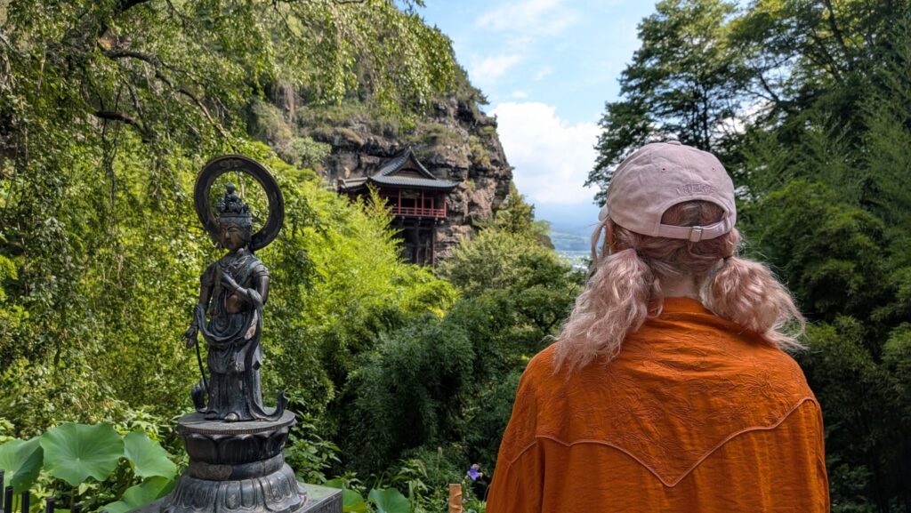
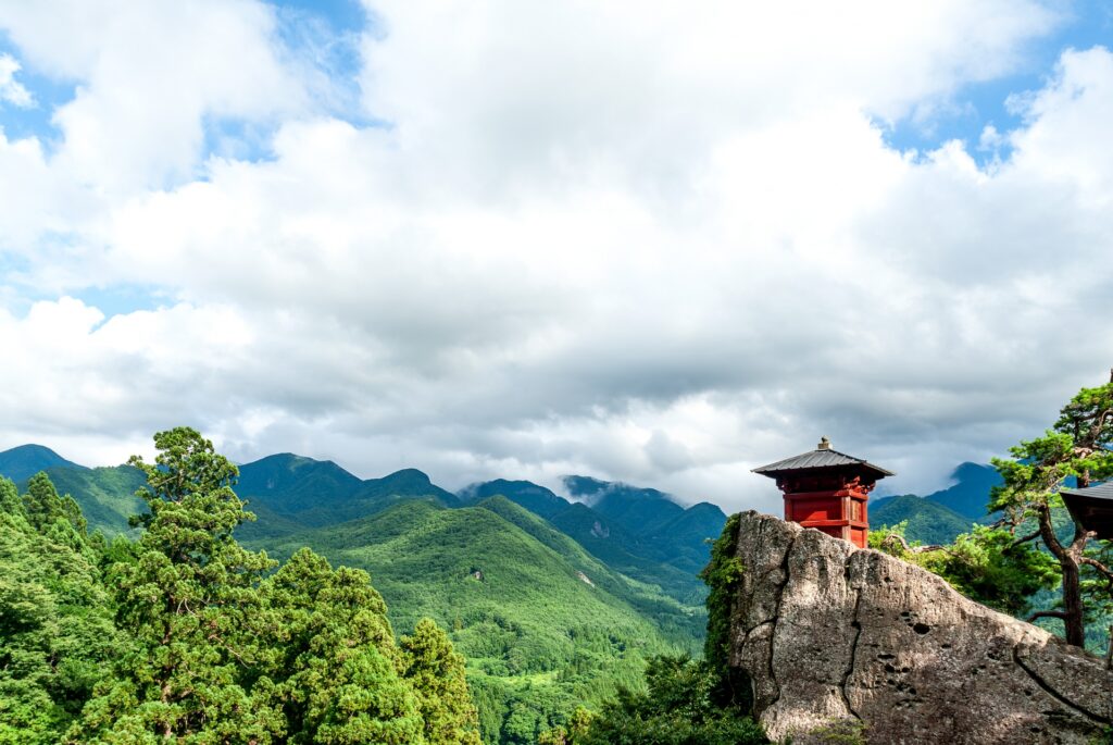
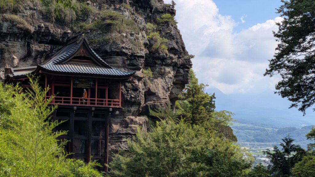
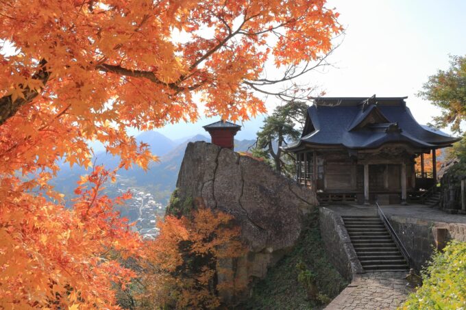
Mt. Honju is the mountain upon which Yamadera (officially known as Hoju-san Risshaku-ji) sits. Yamadera literally means “mountain temple”, and this particular temple was founded in 860 AD as a Tendai sect temple of Buddhism.
Mt. Honju’s landscape is defined by a unique, rugged surface featuring a series of steep, striking rock formations. From the Godaido observation deck, visitors can enjoy panoramic views of the tranquil peaks of the Ou Mountain Range and the Yamagata Basin.
8) Mount Zaō (蔵王山)
- Location: Yamagata/Miyagi Prefectures
- Elevation: 1,841 m (6,040 ft)
- Parent Range: Ou Mountains
- Listing: “100 Famous Mountains of Japan”
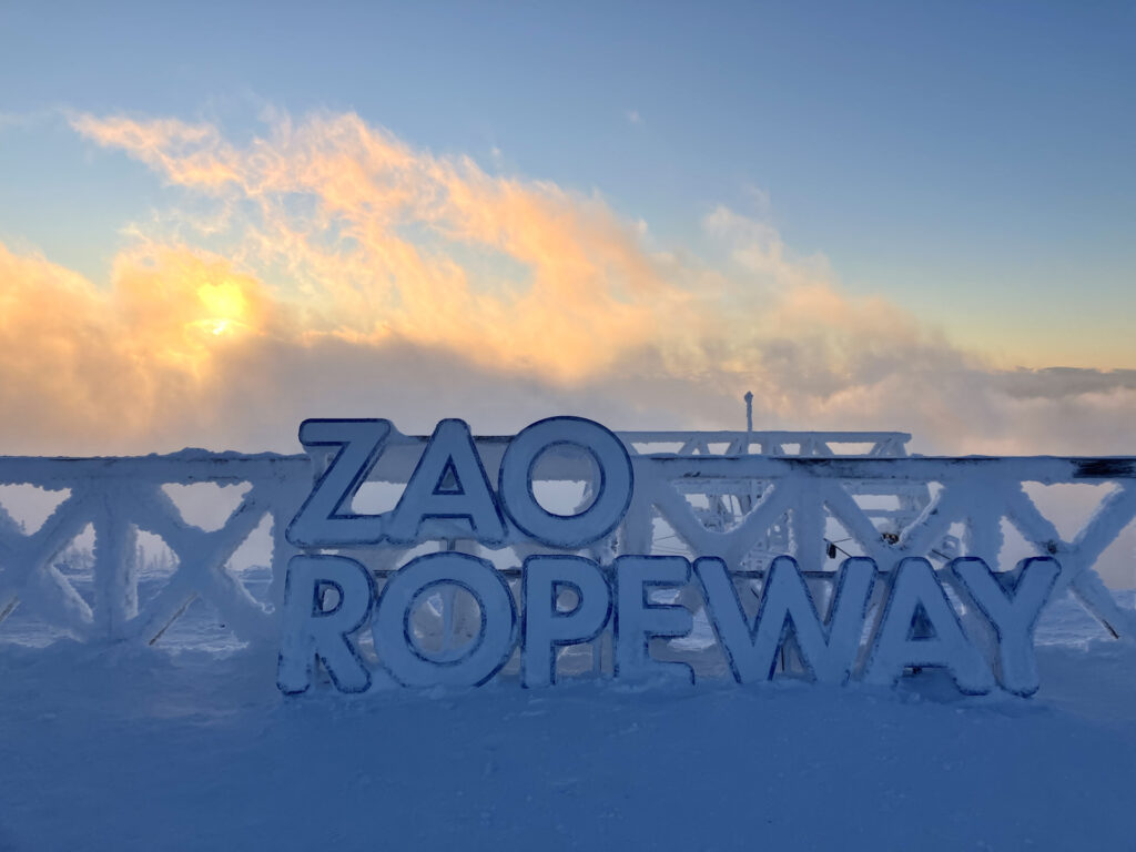
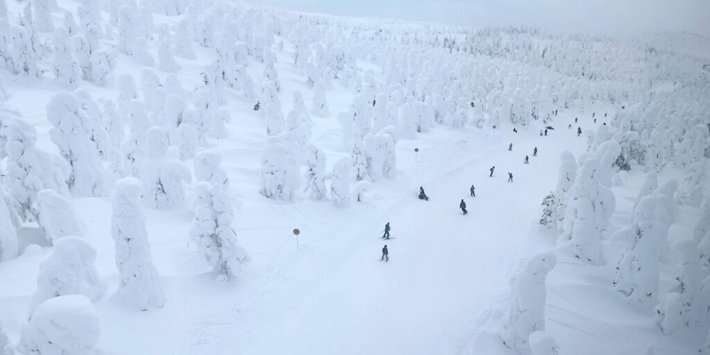
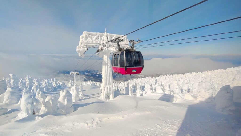
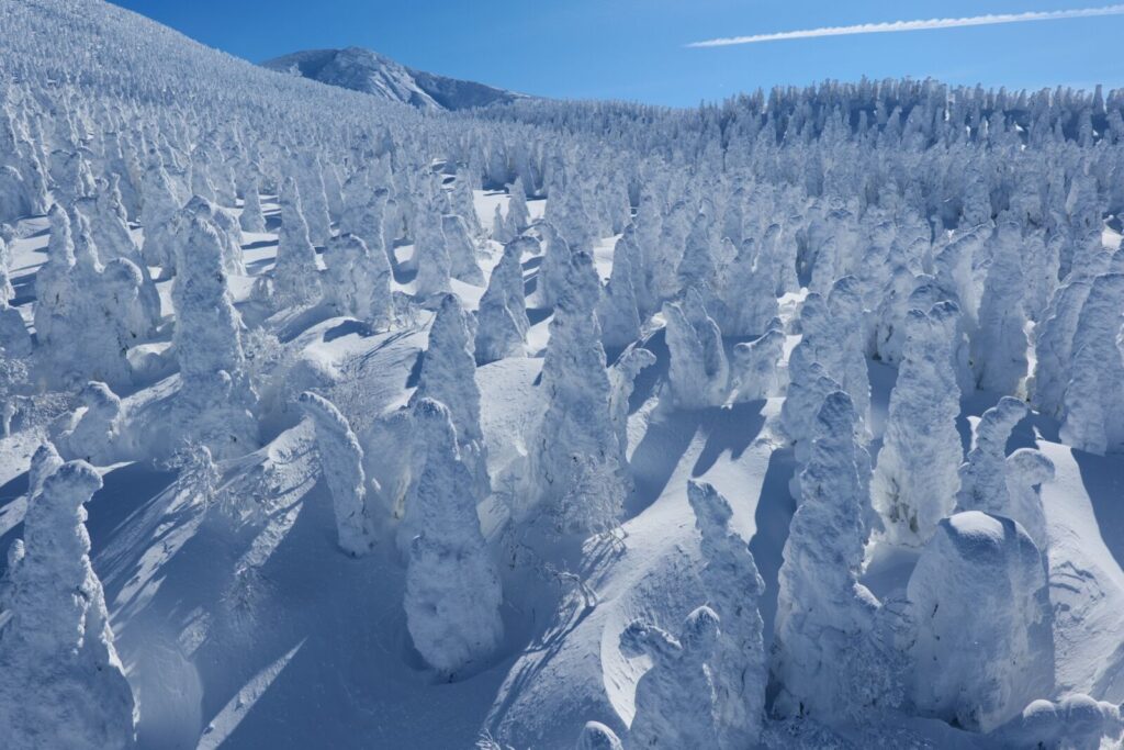
Zao is perhaps the most famous mountain in Japan for “snow monsters”. These “monsters” are a natural phenomenon in which strong wind over the nearby lake scatters water droplets against the trees, which freeze into nearly horizontal icicles. Snow then settles on the icicles, resulting in oddly shaped outlines of trees.

Koshin'etsu (Niigata, Nagano, Yamanashi)
9) Mount Ainodake (間ノ岳)
- Location: Yamanashi/Shizuoka Prefecture
- Elevation: 3,190 m (10,470 ft)
- Parent Range: Akaishi Mountains (Japan’s Southern Alps)
- Listing: “100 Famous Mountains of Japan”, “Top 10 Tallest Mountain in Japan: #3”
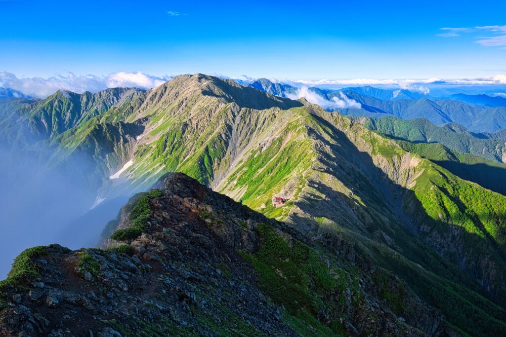
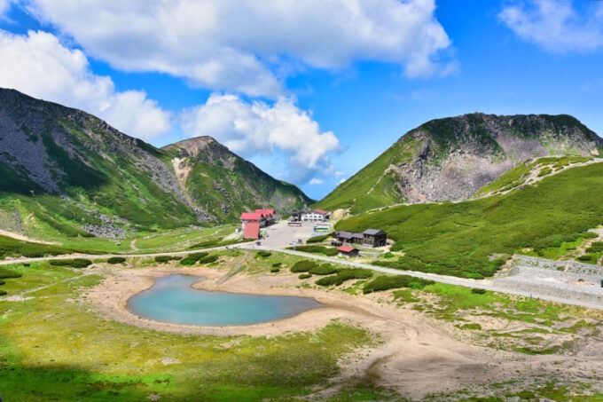
Mount Ainodake does not have a hiking trail that goes directly from the base to the summit, therefore the mountain is rarely climbed alone—instead climbed when traversing the Southern Alps. As the approximately 3 km north-south traverse route of this mountain continuously exceeds an altitude of 3,000 m, it is often called “Japan's longest 3,000m traverse route.”
10) Mount Akaishi (赤石岳)
- Location: Nagano/Shizuoka Prefecture
- Elevation: 3,120 m (10,240 ft)
- Parent Range: Akaishi Mountains (Japan’s Southern Alps)
- Listing: “100 Famous Mountains of Japan”, “Top 10 Tallest Mountain in Japan: #7”
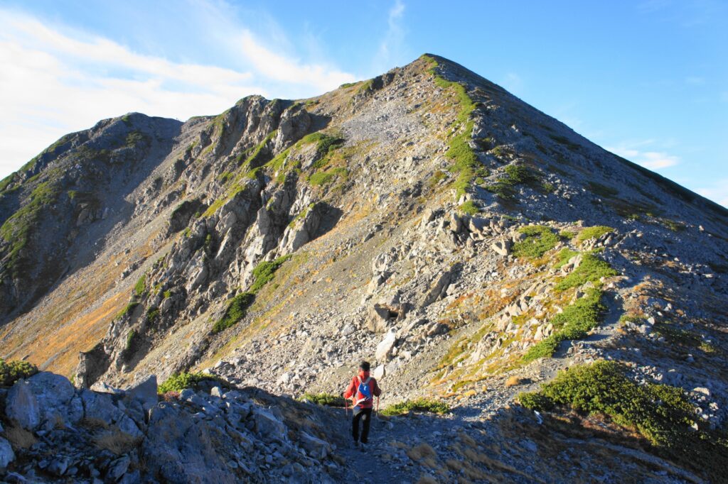
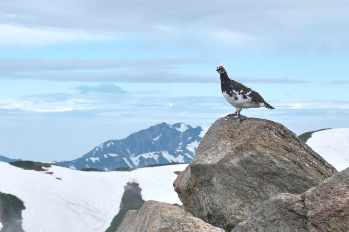
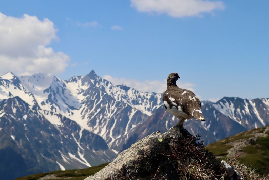
Mt. Akaishi, located within the Southern Alps National Park, is said to be named from the color of the red quartz rock which makes up a majority of the mountain. There are several mountain trails on Mt Akaishi, and hikers often see Rock Ptarmigan from the trails.
11) Mount Hakkai (八海山)
- Location: Niigata Prefecture
- Elevation: 1,778 m (5,833 ft)
- Parent Range: Echigo Mountains
- Listing: “200 Famous Japanese Mountains”, “Three Mountains of Echigo”
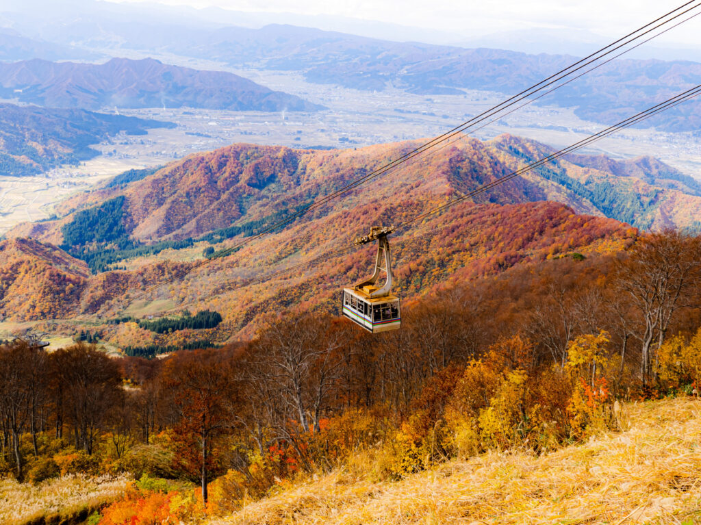
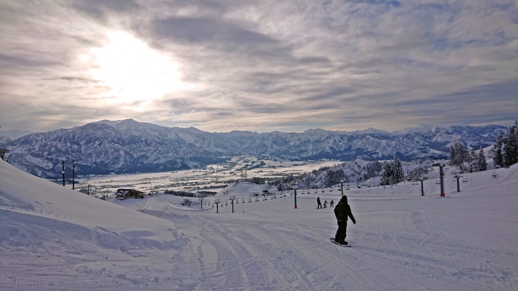
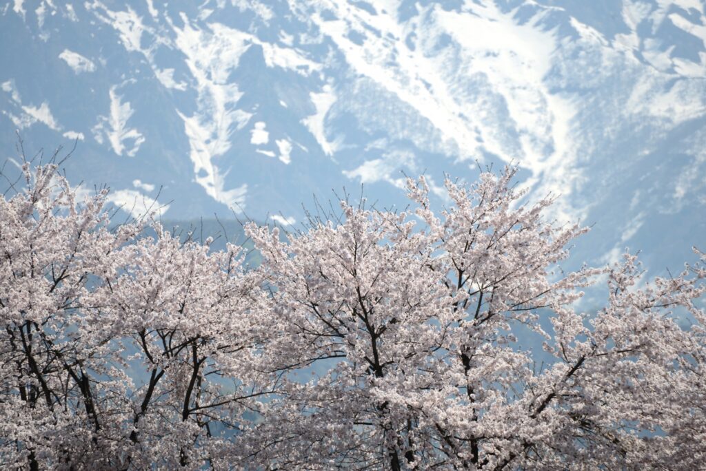
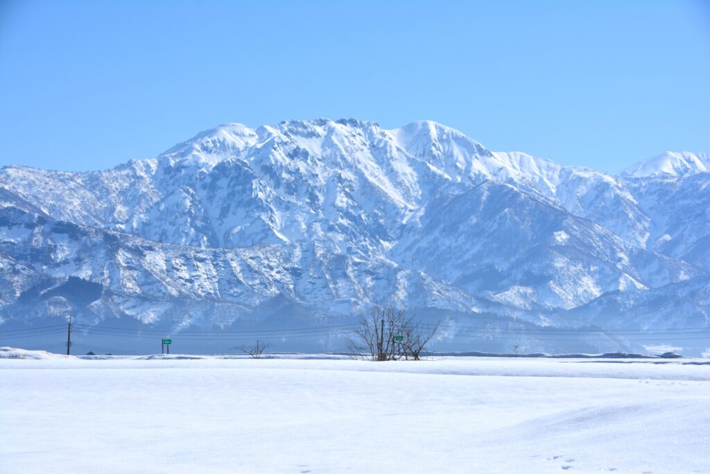
Rising dramatically above the plains of Minamiuonuma in Niigata Prefecture, Mount Hakkai (八海山) is celebrated locally for its rugged beauty and deep spiritual significance. Reaching 1,778 meters, it forms part of the renowned Echigo Sanzan alongside Mount Echigo-Komagatake and Mount Nakanodake.
Revered for centuries as a sacred mountain and a place of ascetic training, Hakkai continues to attract both pilgrims and outdoor enthusiasts. While its lower slopes offer beautiful seasonal scenery, including vibrant autumn foliage, the upper ridges present challenging terrain with steep ascents and chain-assisted climbs.
A ropeway provides access to the mountain's upper slopes, rewarding visitors with sweeping panoramic views across the surrounding mountains and, on clear days, as far as the Sea of Japan.
12) Hakuba Mountains (白馬連峰)


- Location: Nagano Prefecture
- Elevation: 2,932 m (9,619 ft)
- Parent Range: Hida Mountains (Japan’s Northern Alps)
- Listing: “100 Famous Mountains of Japan”
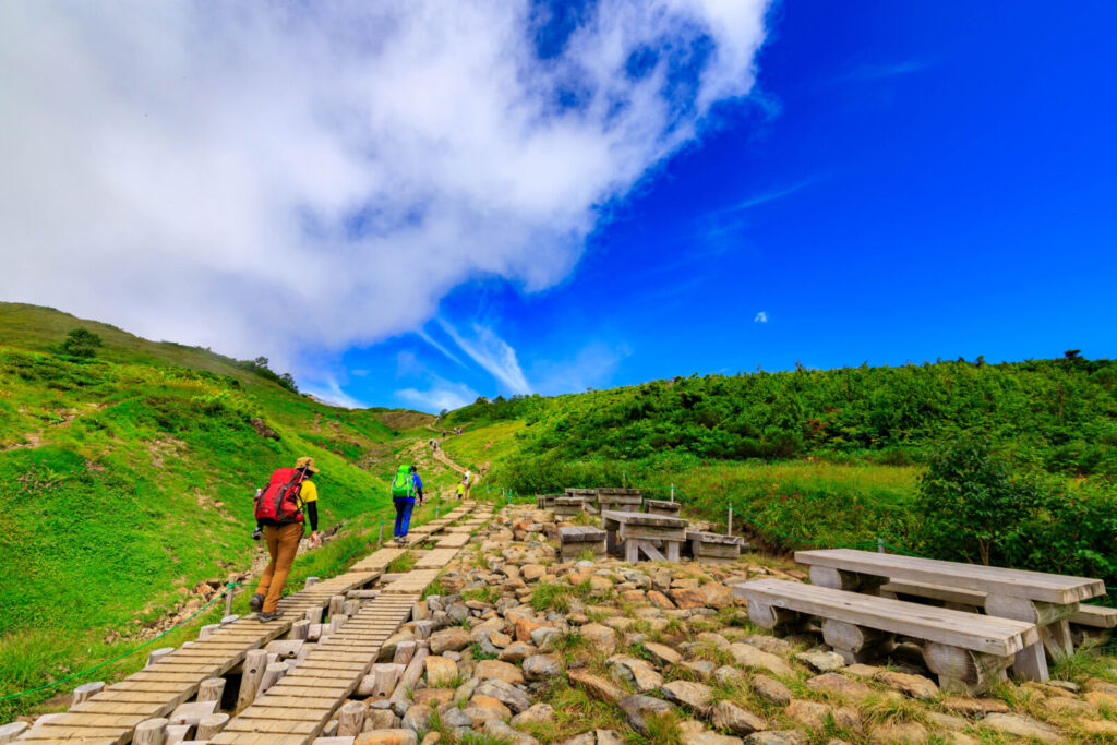
Hakuba is not a single mountain, but rather a rugged mountain chain featuring several impressive peaks, including Mount Shirouma (2,932 m), Mount Shakushi (2,812 m), Mount Shirouma-Yarigatake (2,903 m), Mount Goryu (2,814 m), and Mount Karamatsu (2,696 m).
Collectively known as the Hakuba Sanzan, the three peaks of Shirouma, Shakushi, and Shirouma-Yarigatake are particularly famous for their dramatic alpine scenery. The range is renowned for its extensive snowfields, spectacular ridgelines, colorful alpine wildflowers, and challenging hiking routes.
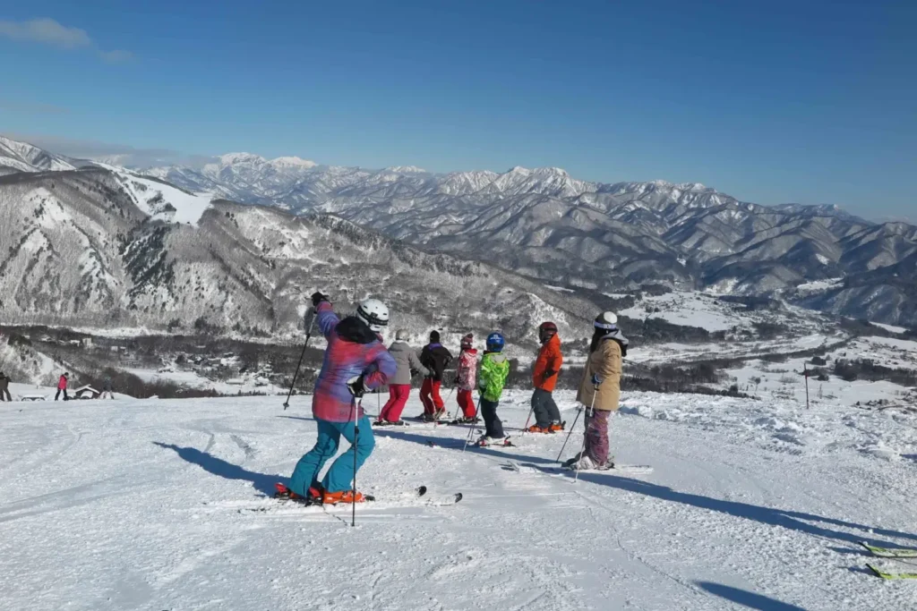
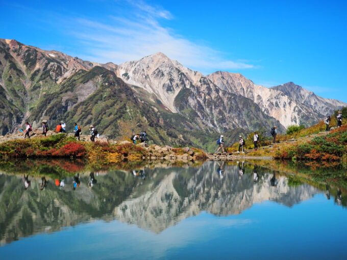
One of its most remarkable natural attractions is the Hakuba Daisekkei (大雪渓), a massive snow corridor considered one of Japan's Three Great Snow Valleys, where snow can remain throughout the summer. The mountains are also home to Happo Pond (八方池), famous for its reflections of the surrounding peaks, and Hakuba Iwatake Mountain Resort, home to the scenic HAKUBA MOUNTAIN HARBOR observation terrace.
The surrounding area is also a major destination for winter sports, forming the heart of Hakuba Valley, an internationally recognized ski region with ten ski resorts. Visitors can also enjoy sightseeing gondolas and ropeways, including the Tsugaike Ropeway, which provides access to Tsugaike Nature Park, and the Hakuba Happo-One lifts, which offer access to spectacular mountain viewpoints.
Beyond its skiing and mountaineering opportunities, the Hakuba region offers traditional hot springs, picturesque alpine lakes, and historic mountain villages.
Small Group
1-Day Tour from Nagano: Hiking to Happo-ike Pond & Hot Springs in Hakuba Valley
- Spots:
- Hakuba
- Pick-up:
- Nagano City
- Drop-off:
- Nagano City
13) Mount Kiso-Komagatake (木曽駒ヶ岳)
- Location: Nagano Prefecture
- Elevation: ,956 m (9,698 ft)
- Parent Range: Kiso Mountains (Japan’s Central Alps)
- Listing: “100 Famous Mountains of Japan”
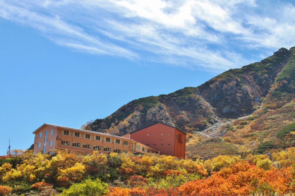
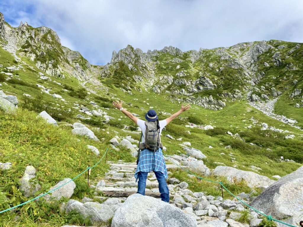
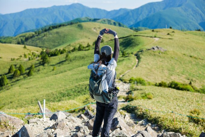
Rising to 2,956 meters above the surrounding valleys, Mount Kiso-Komagatake (木曽駒ヶ岳) is the highest summit of the Central Japanese Alps and one of Nagano Prefecture's most celebrated alpine destinations. Its impressive granite peaks, dramatic ridge lines, and expansive mountain panoramas make it a favorite among hikers and photographers.
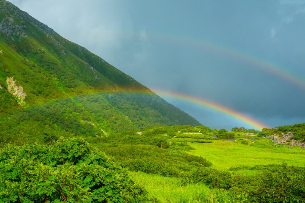
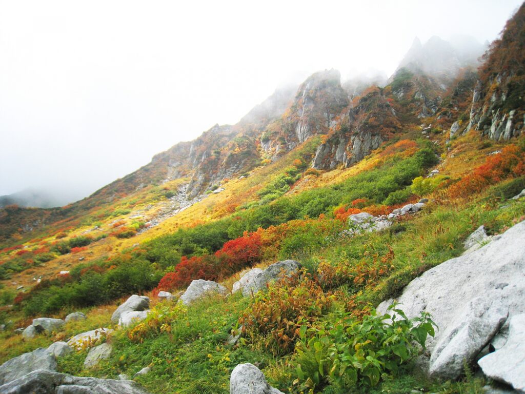
One of its most spectacular attractions is the nearby Senjojiki Cirque (千畳敷カール), a magnificent glacially carved basin formed during the last ice age, where towering cliffs surround meadows filled with colorful alpine flowers during the summer months.
The Komagatake Ropeway transports passengers from Shirabidaira Station to Senjojiki Station, located at approximately 2,612 meters on Kiso-Komagatake, making it one of Japan's highest and most accessible mountain sightseeing destinations.
From the upper station, visitors can enjoy an approximately 45-minute walking circuit around the cirque or embark on a more challenging hike to the summit of Kiso-Komagatake, which takes roughly four hours round-trip. The summit rewards climbers with breathtaking panoramic views of the Northern and Southern Japanese Alps, Mount Ontake, and, on exceptionally clear days, Mount Fuji.
New Tour
[Central Alps Mountain Route]1-Day Private Tour: From Historic Trails in Magome to Alpine Peaks in Senjojiki
- Spots:
- Hirugami OnsenKiso Valley
- Pick-up:
- NagoyaMatsumoto
- Drop-off:
- NagoyaMatsumoto
14) Mount Kitadake (北岳)
- Location: Yamanashi Prefecture
- Elevation: 3,193 m (10,476 ft)
- Parent Range: Akaishi Mountains (Japan’s Southern Alps)
- Listing: “100 Famous Mountains of Japan”, “Top 10 Tallest Mountain in Japan: #2”
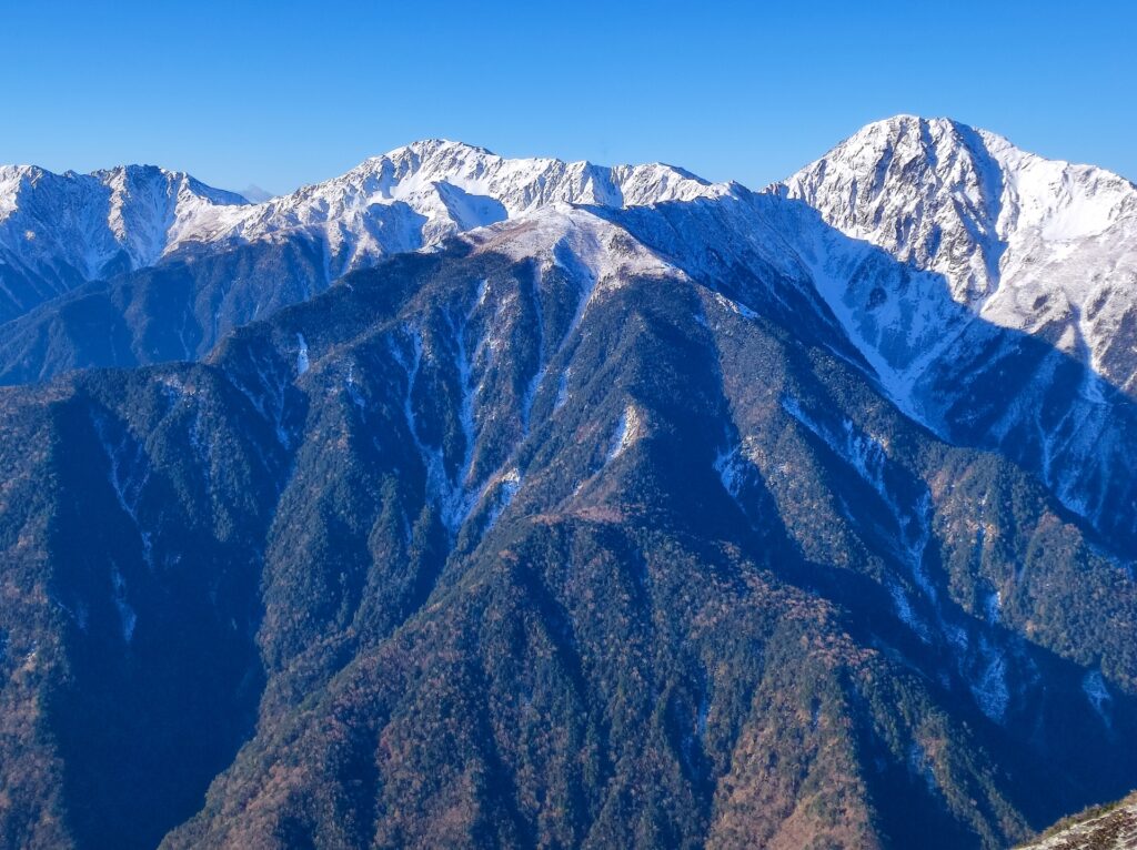
Though Kitadake is Japan’s second tallest mountain, there are no extant records of anyone summiting the mountain before 1880 until international specialists brought in by the Meiji government started exploring the mountains in Japan.
From the summit of Kitadake, you can see Mount Fuji floating above a sea of clouds, making it one of the most picturesque mountaintop views. For those looking to climb Mt. Kitadake for themselves, the climb is best done as a two-day trek. We recommend staying overnight at one of the mountain lodges before finishing the summit the next morning.
15) Mount Karasawa (涸沢岳)
- Location: Nagano/Gifu Prefectures
- Elevation: 3,110m(10,204 ft)
- Parent Range: Hida Mountains (Japan’s Northern Alps)
- Listing: “Top 10 Tallest Mountain in Japan: #8”
Mount Karasawa is not an easy mountain to access or climb, requiring considerable effort and mountaineering experience due to its remote alpine location, demanding approach, steep terrain, and challenging weather conditions.
Reaching the summit requires a strenuous multi-hour hike through the rugged Northern Alps, including exposed ridgelines, rocky scrambles, and sections equipped with chains and ladders. At over 3,100 meters, climbers must also contend with cold temperatures, strong winds, and rapidly changing mountain conditions.
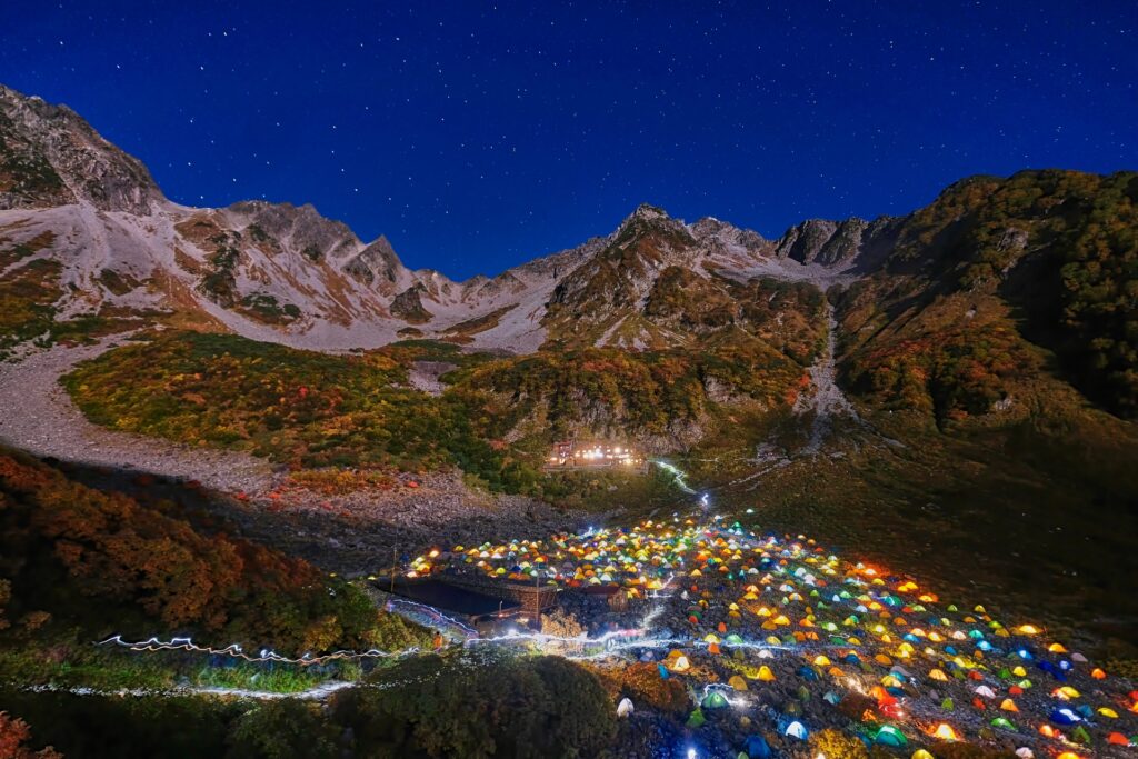
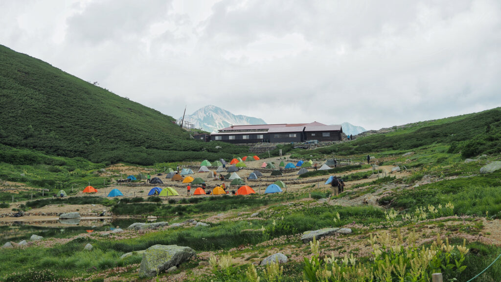
However, just below its summit, and considerably more accessible, lies the spectacular Karasawa Cirque (涸沢カール), a massive, approximately 2,000-meter-wide bowl-shaped glacial cirque. Famous throughout Japan, the cirque is especially popular in autumn when its surrounding mountainsides burst into brilliant shades of red, orange, and gold. During peak season, its valley floor transforms into “tent city”, with hundreds of colorful tents creating one of the most iconic scenes in the Japanese Alps.
The Karasawa Cirque can be reached via a scenic but strenuous 6–7-hour hike from Kamikōchi and will require a good degree of fitness, does not require technical mountaineering skills in good weather conditions.
16) Minenohara Highlands (Minenohara Kogen) (峰の原高原)


- Location: Nagano Prefecture
- Elevation: 1,500–1,600 m (4,921–5,249 ft)
- Parent Range: Foothills of the Nekodake–Azumaya massif
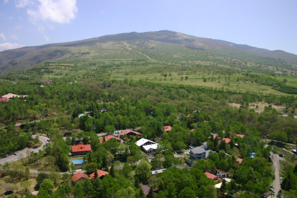
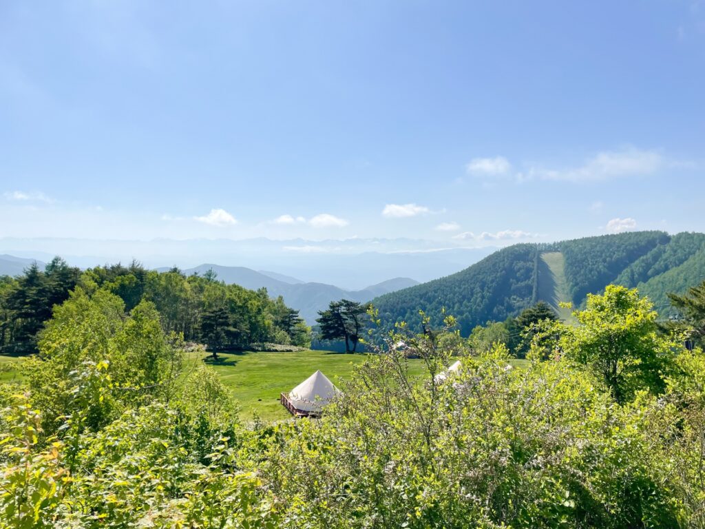
Located in Joshin'etsu Kogen National Park, at the western foothills of Mount Nekodake and Mount Azumaya, Minenohara Highlands is a scenic plateau situated at approximately 1,500–1,600 meters above sea level. Adjacent to Sugadaira Highlands, it offers spectacular panoramic views of the Northern Alps and the Five Peaks of Northern Shinshu.
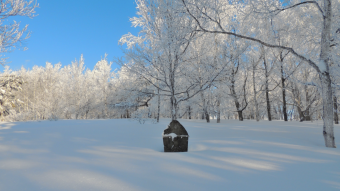
In winter, the well-maintained ski slopes offer excellent powder snow conditions, making the area ideal for skiing and snowboarding. Visitors can also enjoy a variety of family-friendly winter activities, including snowshoeing and playing in the snow. During the warmer months, the highlands offer opportunities for hiking, trekking, camping, and stargazing, making Minenohara a year-round destination for outdoor recreation.
Special Offer
Start from Nagano: Explore Japan’s Historic ‘Shortcut’ Mountain Trail – 2-Day Private Tour
- Spots:
- Nagano
- Pick-up:
- Nagano City
- Drop-off:
- Nagano City
17) Mount Minobu (身延山)
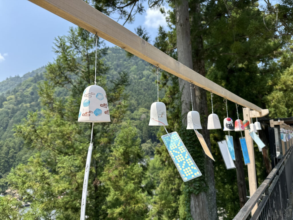
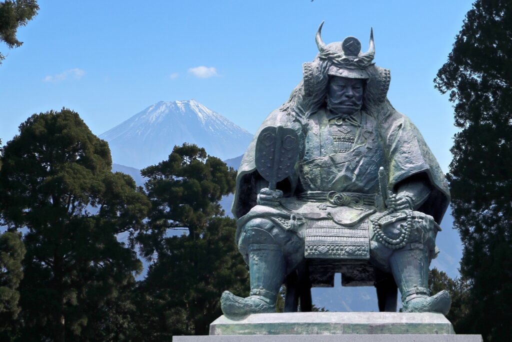
- Location: Yamanashi Prefecture
- Elevation: 1,153 m (3,783 ft)
- Parent Range: Minobu Mountains
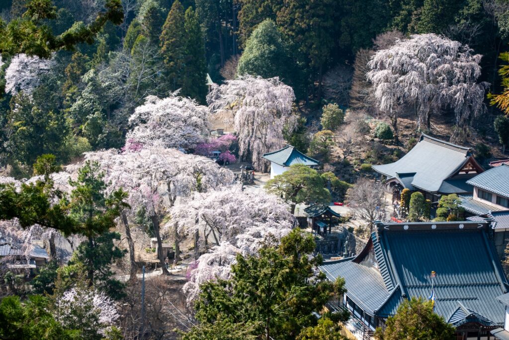
Rising above the Fuji River valley in southern Yamanashi Prefecture, Mount Minobu (身延山) is a beautiful forested mountain renowned for its historic temples, and spectacular panoramic views.
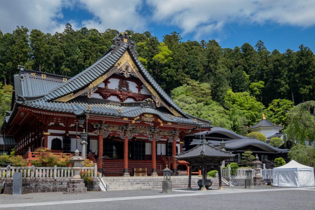
The mountain is most famous as the home of Minobusan Kuonji (身延山久遠寺), one of the most important temples in Japanese Buddhism and the spiritual headquarters of the Nichiren Buddhist tradition. Founded in the 13th century, Kuonji is closely associated with the Buddhist priest Nichiren, who spent his final years in the mountainside retreat.
Visitors approach the temple through an impressive complex of traditional buildings, ancient cedar trees, and the famous Bodai-tei staircase, consisting of 287 steep stone steps that lead toward the main temple grounds.
The Minobusan Ropeway carries visitors from the vicinity of Kuonji Temple to the summit in approximately seven minutes. At the upper station, visitors can explore Okunoin Shishinkaku Temple, an important pilgrimage destination, and enjoy sweeping views of Mount Fuji, the Southern Japanese Alps, and the surrounding valleys from several observation platforms. The summit is particularly famous for the seasonal phenomenon known as Diamond Fuji, when the rising sun appears to align perfectly with the summit of Mount Fuji, creating the illusion of a brilliant diamond resting on its peak.
18) Mount Iwadono (岩殿山)
- Location: Yamanashi Prefecture
- Elevation: 634 m (2,080 ft)
- Parent Range: southern foothills of the Chichibu-Tama-Kai mountain region
- Listing: “Yamanashi 100 Famous Mountains” , “Twelve Beautiful Views of Mount Fuji”
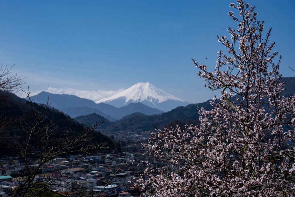
Mount Iwadono is most known for its fascinating samurai history and outstanding views of Mount Fuji. Despite its relatively modest elevation of 634 meters, the mountain's imposing rock faces and strategic position overlooking the surrounding valleys made it an important defensive stronghold during Japan's Sengoku period.
Iwadono’s summit was once occupied by Iwadono Castle, a formidable mountain fortress associated with the Oyamada clan, retainers of the Takeda family. Today, visitors can explore remnants of the historic castle grounds, including former defensive enclosures and other features that reveal how the natural terrain was incorporated into the fortress's defenses.
The mountain is officially recognized as one of Otsuki's Twelve Beautiful Views of Mount Fuji, and its elevated position provides an impressive panorama of the city below and the iconic volcanic peak beyond.
The mountain is also a popular spring destination, with more than 300 cherry trees decorating the slopes around Maruyama Park. A pleasant hiking trail leads through wooded slopes toward the summit, and nearby attractions include the historic Saruhashi Bridge, one of Japan's Three Unusual Bridges, and the picturesque Katsura River valley.
19) Mount Myōkō (妙高山)

- Location: Niigata Prefecture
- Elevation: 2,454 m (8,051 ft)
- Parent Range: Kubiki Mountains
- Listing: “100 Famous Mountains of Japan”
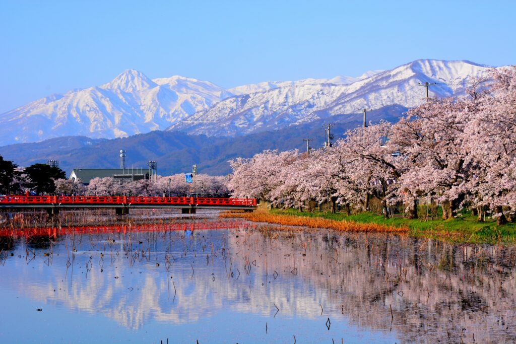
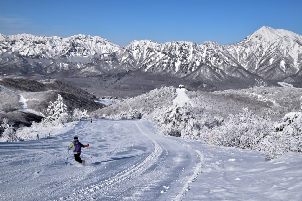
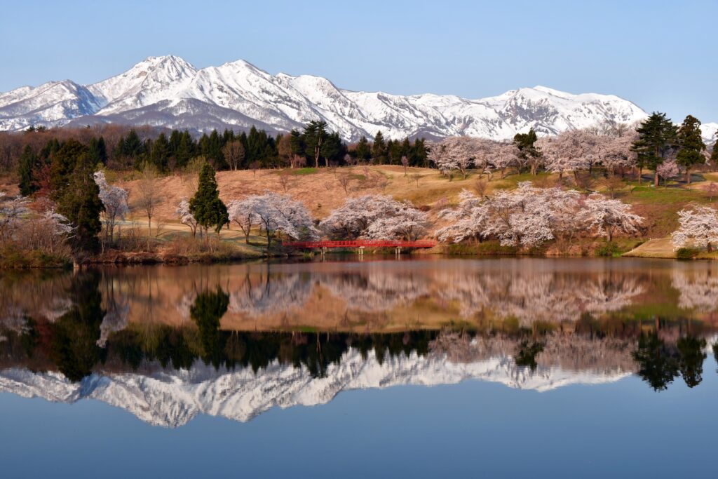
Dominating the landscape of southwestern Niigata Prefecture, Mount Myōkō (妙高山) is an impressive 2,454-meter active stratovolcano renowned for its distinctive volcanic profile, abundant snowfall, and spectacular alpine scenery.
Often nicknamed the Echigo Fuji (越後富士) for its resemblance to Japan's iconic Mount Fuji, Myōkō is one of the region's most recognizable peaks and a centerpiece of Myōkō-Togakushi Renzan National Park.
Although Mount Myōkō is beautiful throughout the year, it is particularly famous for its exceptional winter snowfall and world-class powder skiing. The surrounding Myōkō Kogen area is home to several popular ski resorts, including Akakura Onsen, Akakura Kanko, Ikenotaira, and Myōkō Suginohara, attracting skiers and snowboarders from around the world.
The Myōkō Sky Cable gondola provides convenient access to the mountain's lower slopes and panoramic viewpoints, making it a popular attraction for visitors who prefer sightseeing to a full summit climb. From the summit, hikers are rewarded with magnificent views extending across Lake Nojiri, the surrounding Kubiki Mountains, and, on clear days, toward the distant Japanese Alps and the Sea of Japan.
The mountain's foothills are equally appealing, offering a wonderful combination of natural attractions and traditional Japanese hospitality. Tsubame Onsen and Akakura Onsen are particularly famous for their mineral-rich hot spring waters, providing a relaxing retreat after a day on the slopes or mountain trails. Also nearby is the impressive 55-meter Naena Falls.
20) Mount Naeba (苗場山)
- Location: Niigata/Nagano Prefectures
- Elevation: 2,145 m (7,037 ft)
- Parent Range: Mikuni Mountains
- Listing: “100 Famous Mountains of Japan”, “Japan's 100 Famous Flower Mountains”
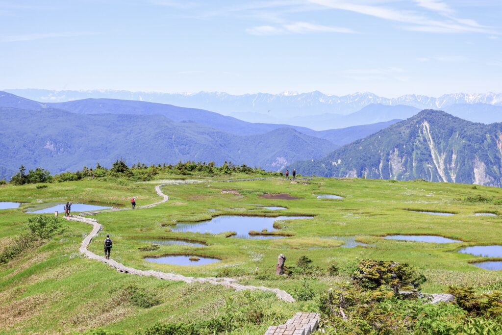
Rising to 2,145 meters, this distinctive mountain lies within Joshin'etsu Kogen National Park. Unlike the sharp, rocky summits typical of many Japanese alpine peaks, Mount Naeba opens into an extraordinary plateau covering approximately 700 hectares, dotted with thousands of small ponds known as chitō (池塘). These reflective pools, surrounded by delicate alpine vegetation, create the impression of a natural rice paddy floating above the clouds, inspiring the mountain's name, which translates roughly to "seedling field."
Mount Naeba is a rewarding destination for hikers, with several established routes approaching the summit from both Niigata and Nagano. A network of wooden boardwalks allows visitors to explore the fragile marshland while enjoying panoramic views across the surrounding mountains.
Nearby Naeba and Kagura ski resorts offer extensive skiing and snowboarding terrain, with the famous Dragondola connecting the two resorts across a spectacular 5.5-kilometer mountain valley.
21) Shiga Kogen (志賀高原)


- Location: Nagano Prefecture
- Elevation: 1,300–2,307 m (4,265–7,569 ft)
- Parent Range: Joshin'etsu Mountains
- Listing: UNESCO Biosphere Reserve
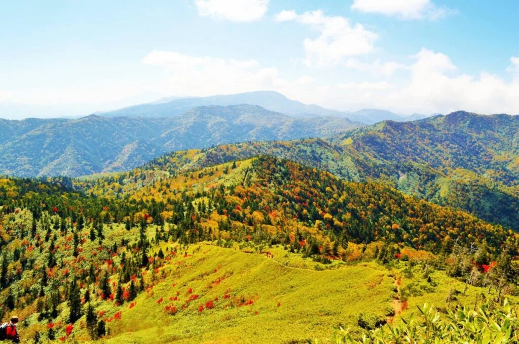
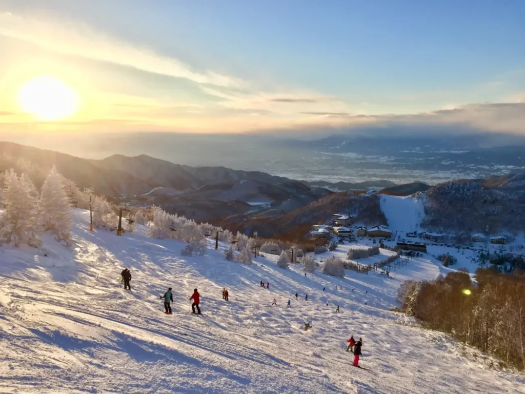
Shiga Kogen (志賀高原) is a vast mountain region renowned for its volcanic landscapes, pristine alpine wetlands, exceptional snowfall, and diverse outdoor activities. Situated within Joshin'etsu Kogen National Park, the area encompasses a collection of mountain peaks, forested plateaus, high-altitude lakes, and marshlands, with elevations ranging from approximately 1,300 to 2,307 meters.
Its highest prominent summit, Mount Yokote (横手山), offers breathtaking 360-degree panoramas extending across the Northern Japanese Alps and, on exceptionally clear days, as far as Mount Fuji and the Sea of Japan.
Shiga Kogen is particularly famous for its extensive winter snowfall and interconnected ski terrain, with 18 ski areas offering opportunities for skiing and snowboarding across a remarkable alpine landscape. During the warmer months, the region transforms into a hiking and sightseeing paradise, with scenic trails, alpine flower gardens, reflective mountain ponds, and spectacular autumn foliage.
One of Shiga Kogen's most celebrated attractions is the nearby Jigokudani Wild Snow Monkey Park, famous for its wild Japanese macaques that gather around natural hot springs during the colder months.

22) Mount Togakushi (戸隠山)


- Location: Nagano Prefecture
- Elevation: 1,904 metres (6,247 feet)
- Parent Range: Togakushi Mountain Range
- Listing: “Five Mountains of Northern Shinshu”, “Japan’s 200 Famous Mountains”
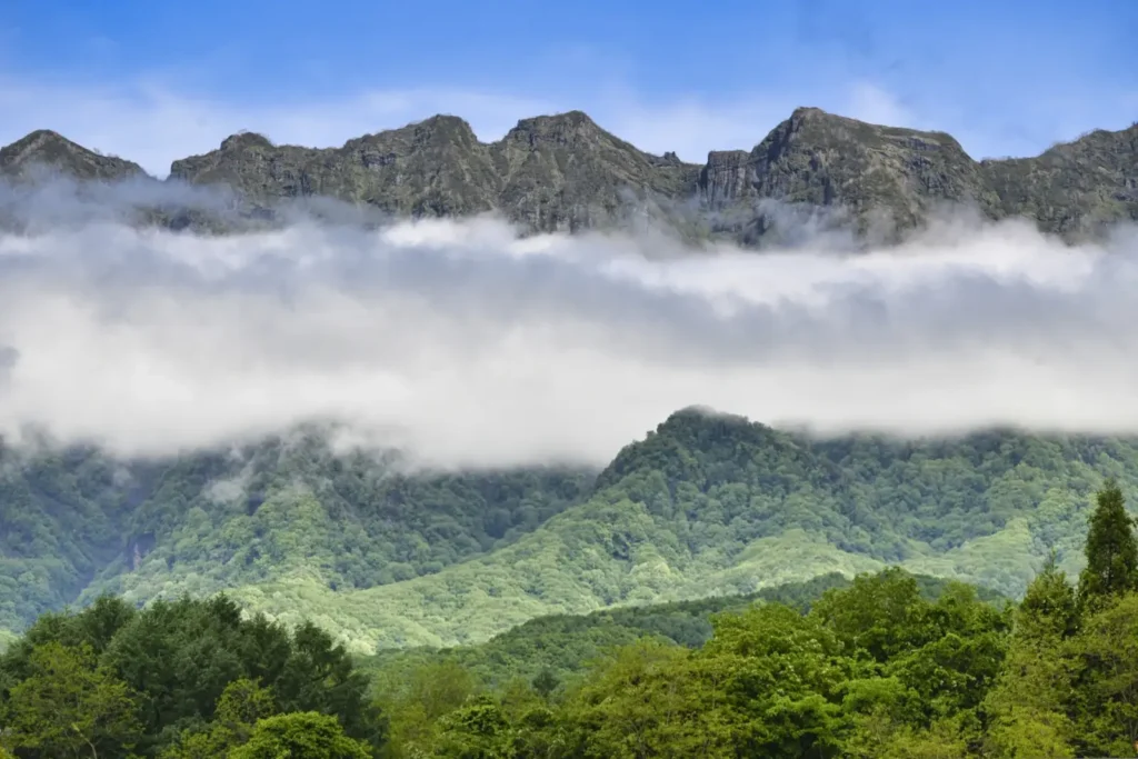
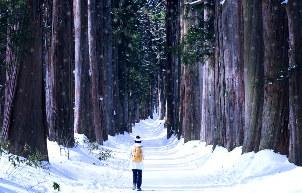
Mount Togakushi, also known as Togakushi-yama, is a striking 1,904-meter mountain in northern Nagano Prefecture. Part of the Togakushi Mountain Range, it is renowned for its dramatic jagged ridgelines, towering cliffs, and rugged rock formations that create one of Japan's most distinctive mountain landscapes.
Deeply rooted in Japanese mythology and mountain worship, the mountain is closely associated with the historic Togakushi Shrine, which has served as an important centre of spiritual pilgrimage for centuries. Its challenging hiking routes include the famous Ant's Traverse (蟻ノ塔渡り), an exceptionally narrow rocky ridge with steep drop-offs on either side.

Recommended
1-Day Togakushi Tour: Hands-on Soba, Ninja Secrets & Ancient Shrines
- Spots:
- NaganoTogakushi
- Pick-up:
- Nagano City
- Drop-off:
- Nagano City
23) Mount Yahiko (弥彦山)
- Location: Niigata Prefecture
- Elevation: 634 m (2,080 ft)
- Parent Range: 634 m (2,080 ft)
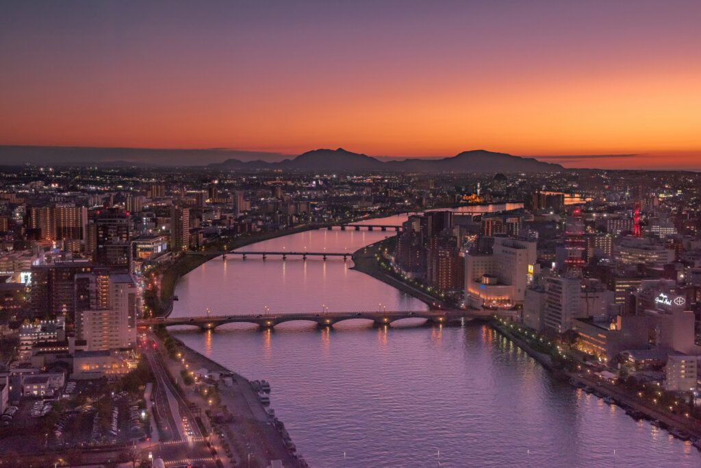
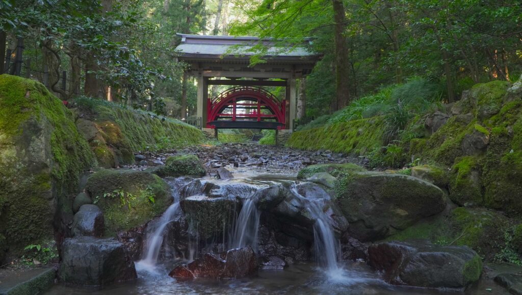
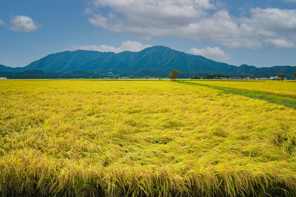
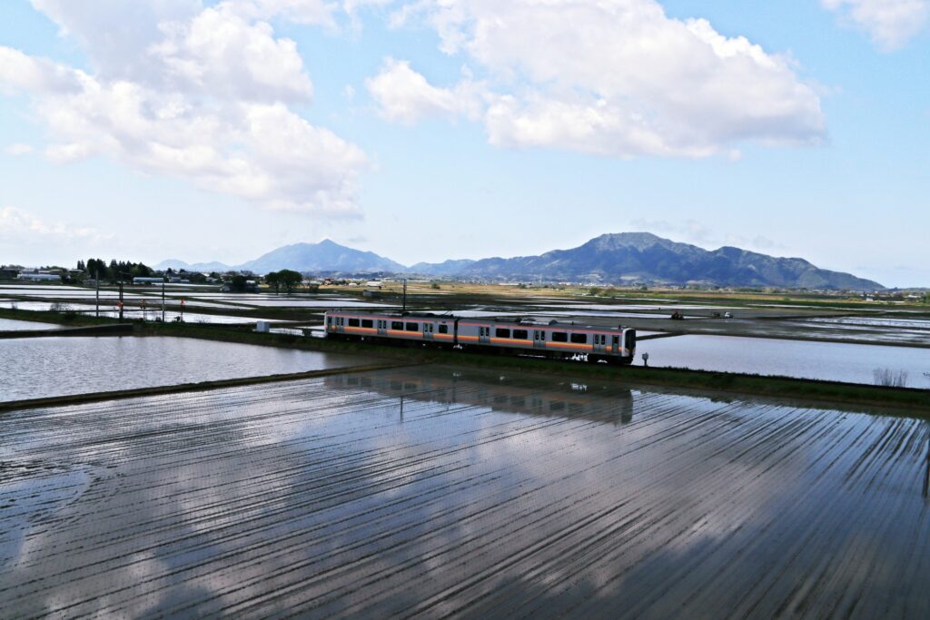
Mount Yahiko’s summit stands at exactly the same height as Tokyo Skytree, an interesting coincidence that has become part of its appeal.
Revered for centuries as a sacred mountain, Yahiko is closely associated with the nearby Yahiko Shrine (彌彦神社), one of the most important Shinto shrines in the region. At the summit, visitors can find the shrine's Okumiya (奥宮), or inner sanctuary, where the mountain's guardian deities are enshrined.
Mount Yahiko is particularly popular with day-trippers because it combines accessible hiking with convenient sightseeing facilities. A well-maintained trail begins near Yahiko Shrine and winds through peaceful cedar forests toward the summit, typically taking around 90 minutes. For visitors who prefer a more leisurely ascent, the Yahikoyama Ropeway transports passengers from the foothills to the upper mountain in approximately five minutes.
Hokuriku region (Toyama, Ishikawa, Fukui)
24) Mount Aoba (青葉山)
- Location: Fukui/Kyoto Prefectures
- Elevation: 693 m (2,274 ft)
- Parent Range: isolated mountain
- Listing: “Kansai 100 Famous Mountains”
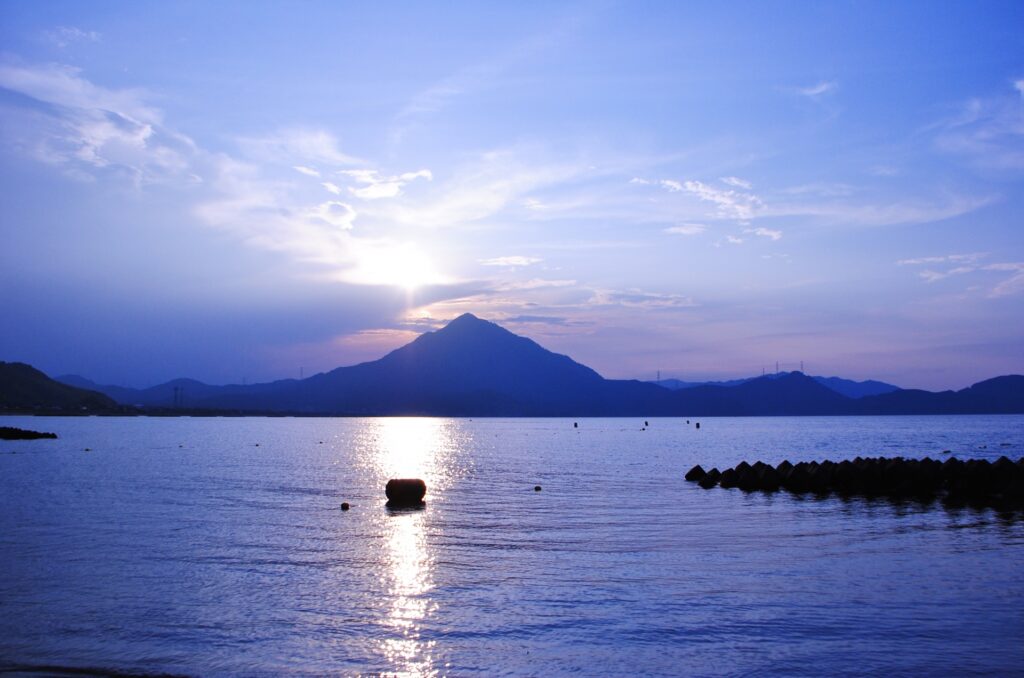
Mount Aoba (青葉山, Aobayama), also known as Wakasa Fuji (若狭富士) because of its symmetrical, Mount Fuji-like silhouette, is a prominent mountain straddling Takahama Town in Fukui Prefecture and Maizuru City in Kyoto Prefecture.
The mountain is a popular hiking destination, offering spectacular views of the Sea of Japan and the surrounding coastline.
Historically regarded as a sacred mountain and a site of Buddhist ascetic training, Mount Aoba is also known for its rich biodiversity, with approximately 500 varieties of useful and medicinal plants, including rare native species.
25) Mount Asuwa (足羽山)
- Location: Fukui Prefecture
- Elevation: 116.4 m (382 ft)
- Parent Range: isolated hill
- Listing: “Japan's 100 Famous Cherry Blossom Spots”
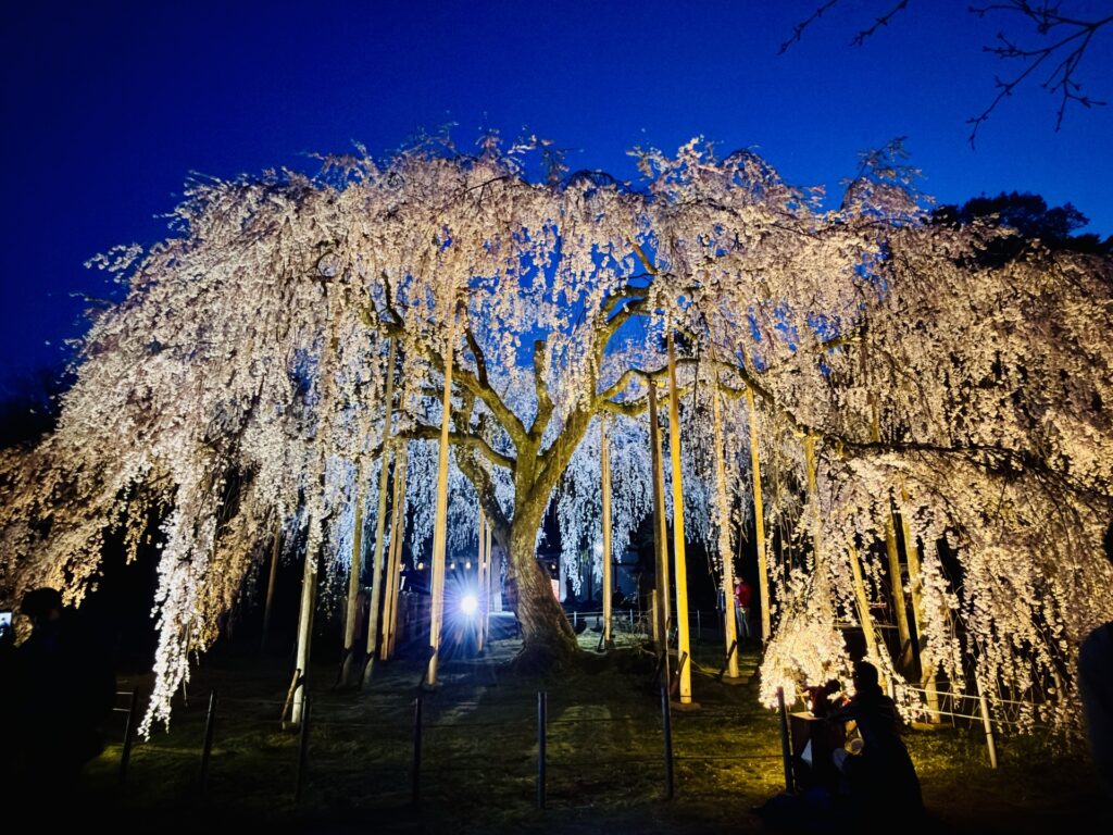
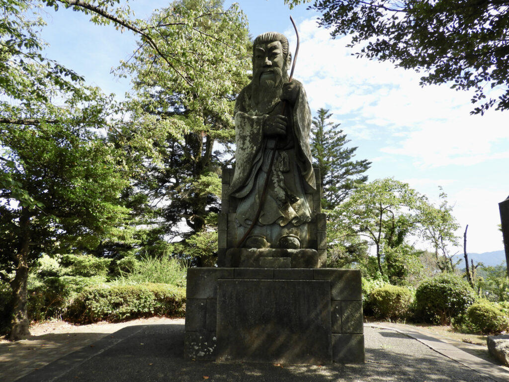
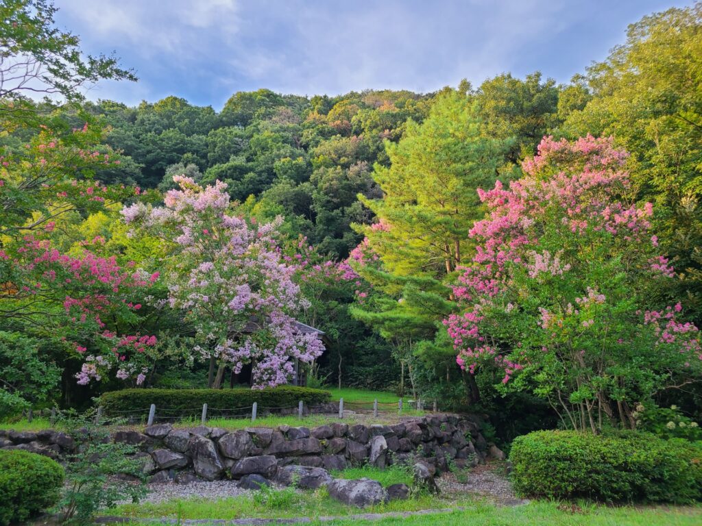
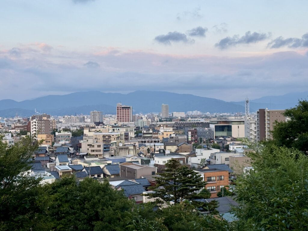
Mount Asuwa (足羽山, Asuwayama) is a small, historically significant hill located in the heart of Fukui City.
The mountain is home to the Asuwa-yama Kofun burial mound complex, the historic Asuwa Shrine, and a stone statue of Emperor Keitai, who is traditionally associated with the early development of the region. Much of the mountain is incorporated into Asuwayama Park, a popular recreational destination featuring walking trails, museums, and scenic viewpoints.
Particularly famous for its cherry blossoms in spring and hydrangeas in early summer, Mount Asuwa offers a peaceful natural retreat just a short distance from central Fukui.
26) Mount Hakusan (白山)
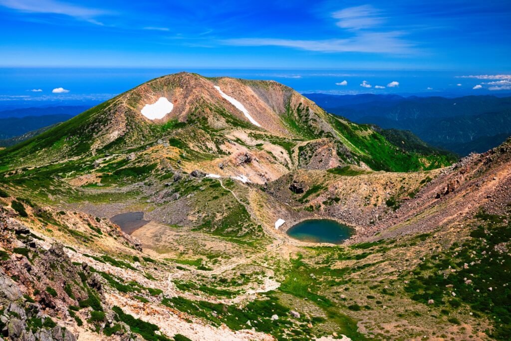
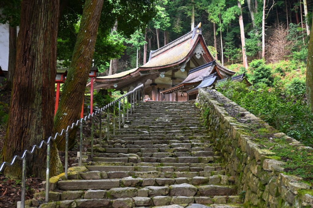
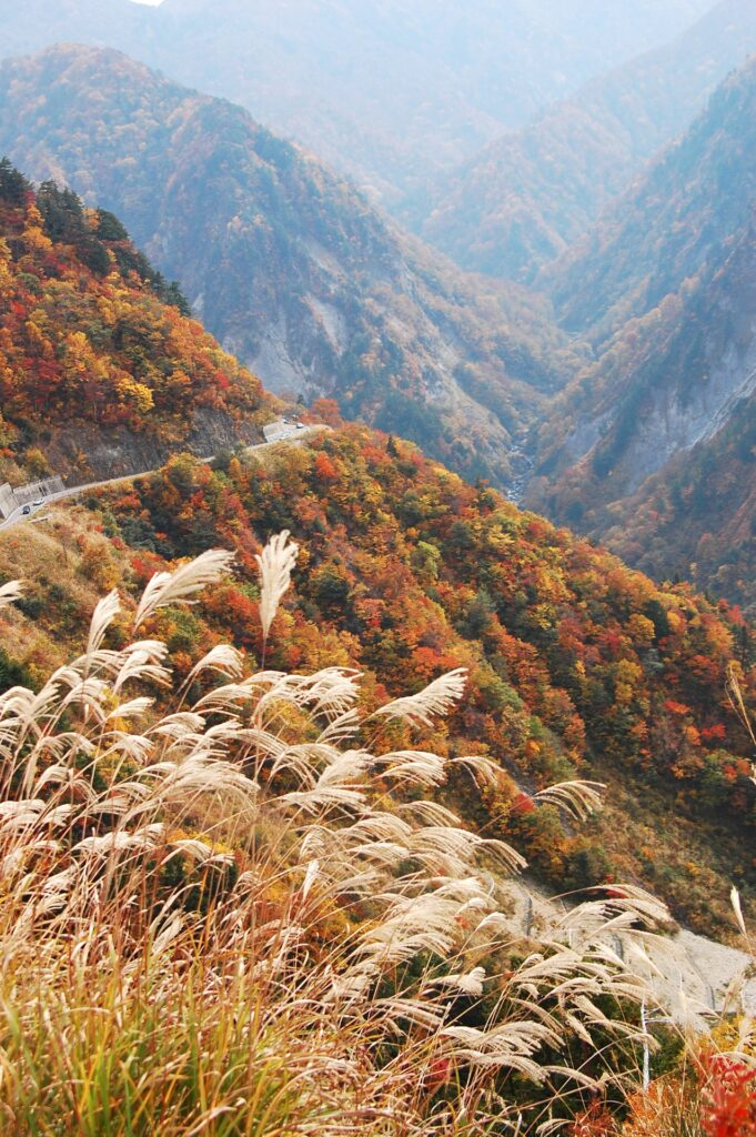
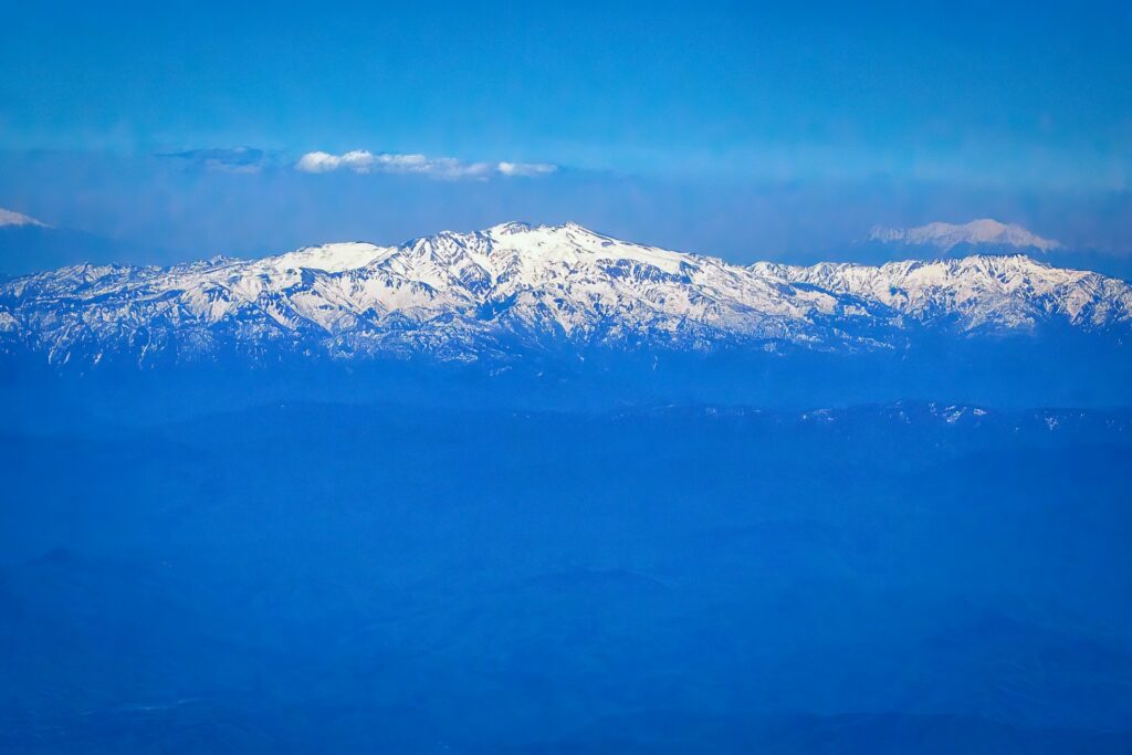
- Location: Gifu/Ishikawa/Fukui Prefectures
- Elevation: 2,702.2 m (8,865 ft)
- Parent Range: Ryōhaku Mountains
- Listing: “100 Famous Mountains of Japan”, “Three Sacred Mountains of Japan”, “Seven Sacred Mountains of Japan”
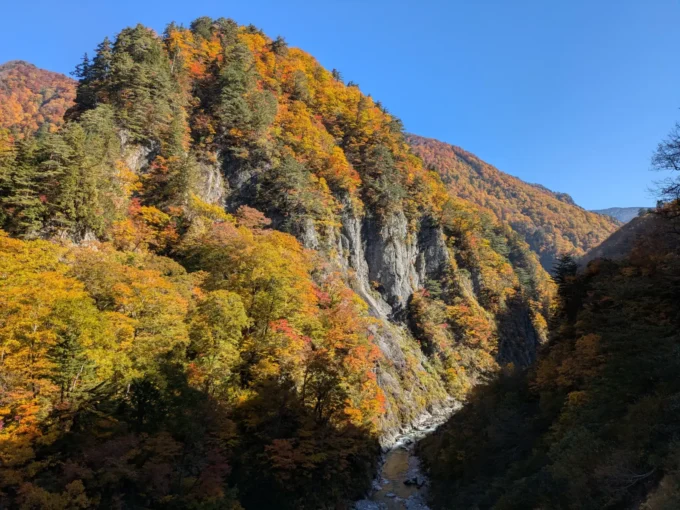
Mt. Hakusan, or the “White Mountain”, is a dormant stratovolcano that is one of Japan’s three sacred mountains.
It is believed that Hakusan was first climbed by a Shugendo monk named Taichō in 717. Since then, people have been making religious pilgrimages to Mt. Hakusan and the area has now become Hakusan National Park.
Small Group
1 Day Tour from Kanazawa: Tedori Gorge, Hakusan White Road and Shirakawago Village
- Spots:
- KanazawaShirakawago
- Pick-up:
- Kanazawa
- Drop-off:
- Kanazawa
27) Mount Kurobe-Goro (黒部五郎岳)
- Location: Toyama/Gifu Prefectures
- Elevation: 2,840 m (9,318 ft)
- Parent Range: Hida Mountains (Japan’s Northern Alps)
- Listing: “100 Famous Japanese Mountains”, “100 Famous Flower Mountains of Japan”
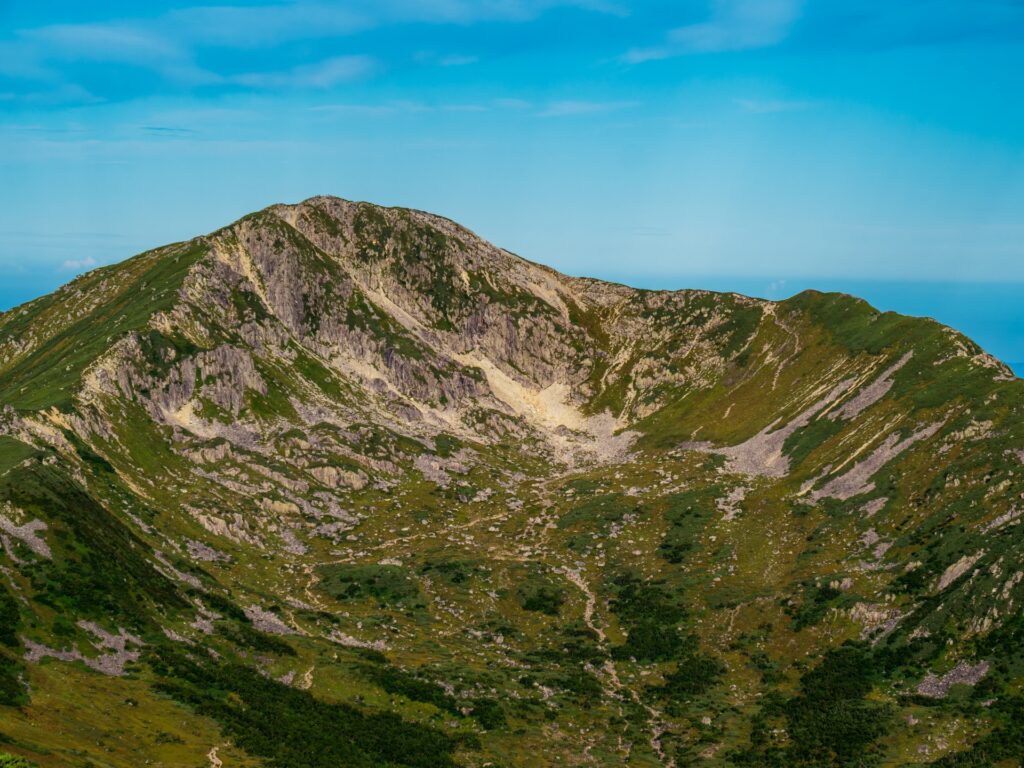
Mount Kurobe-Gorō (黒部五郎岳, Kurobe-Gorō-dake) is located in the Northern Japanese Alps, situated along the border of Toyama and Gifu prefectures. Renowned for its impressive eastern glacial cirque, the mountain features a dramatic bowl-shaped depression carved into its slopes by ancient glacial activity.
It lies near the headwaters of the Kurobe River, from which it takes its name, and is surrounded by rugged ridgelines, alpine meadows, and extensive stands of creeping pine. During the summer months, the mountain's slopes are adorned with colourful alpine flowers, making it a particularly attractive destination for hikers and nature enthusiasts.
Located within Chūbu-Sangaku National Park, Mount Kurobe-Gorō is a highlight of the Northern Alps' multi-day trekking routes and offers magnificent views of the surrounding high mountain landscape.
Recommended
1 Day Tour from Kanazawa: Kurobe Gorge and Unazuki Onsen
- Spots:
- KanazawaKurobe Gorge
- Pick-up:
- Kanazawa
- Drop-off:
- Kanazawa
28) Mount Tateyama (立山)

- Location: Toyama Prefecture
- Elevation: 3,015 m (9,892 ft)
- Parent Range: Hida Mountains (Japan’s Northern Alps)
- Listing: “100 Famous Mountains of Japan”, “Three Sacred Mountains of Japan”, “Seven Sacred Mountains of Japan”
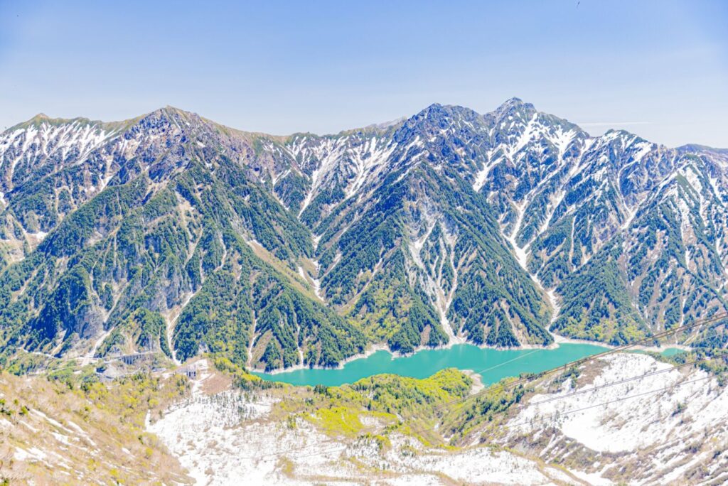
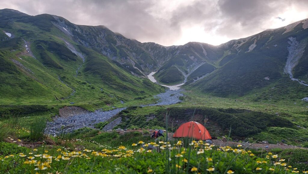
Part of the Chubu Sangaku National Park, Mt. Tateyama is the northernmost mountain in Japan that is over 3,000 meters high and one of Japan’s most sacred mountains.
The Gozenzawa Glacier, located on the eastern slope of the mountain, is approximately 700 meters in length and is one of the few glaciers still existing in Japan. Melting ice from the glacier is one of the sources of the Kurobe River.
Recommended
1 Day Tour from Kanazawa or Toyama: Tateyama Alpine Route Snow Wall and Mysterious Valley
29) Mount Utatsu (卯辰山)
- Location: Ishikawa Prefecture
- Elevation: 141 m (463 ft)
- Parent Range: isolated hill
- Listing: “Japan Night View Heritage Spots”
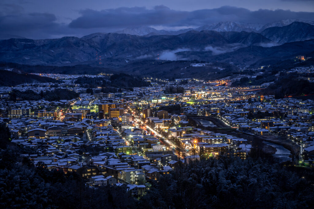
Mount Utatsu (卯辰山, Utatsu-yama) is a prominent hill located northeast of central Kanazawa. Rising above the Asanogawa River, it is a well-known local landmark offering panoramic views across the historic city, the surrounding countryside, and, on clear days, the Sea of Japan and Hakusan mountain range.
Much of the mountain is occupied by Utatsuyama Park, a spacious public park established in 1914 and enjoyed by many for its landscaped gardens, seasonal flowers, and scenic observation points. The area is particularly attractive during spring, when cherry blossoms brighten its wooded slopes, and early summer, when irises and hydrangeas come into bloom.
30) Mount Washiba (鷲羽岳)
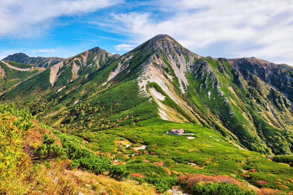
- Location: Toyama/Nagano Prefectures
- Elevation: 2,924 m (9,593 ft)
- Parent Range: Hida Mountains (Japan’s Northern Alps)
- Listing: “100 Famous Mountains of Japan”, “Top 10 Mountaintop Views”, “Shinshu 100 Famous Mountains”
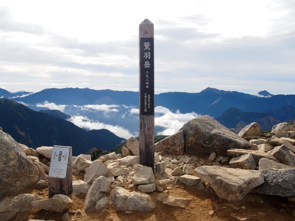
Mount Washiba (鷲羽岳, Washiba-dake) is a magnificent mountain in the central Northern Japanese Alps, situated on the border between Toyama and Nagano prefectures. Rising to 2,924 metres, it is known for its rugged volcanic landscape, expansive alpine scenery, and remote location along the celebrated Ura-Ginza mountain traverse.
One of its most distinctive features is Washiba Pond (鷲羽池), a beautiful crater lake nestled on its southeastern slopes, occupying the remains of an ancient volcanic crater. The mountain forms part of the headwaters of the Kurobe River and is surrounded by some of the most spectacular high-altitude scenery in the Hida Mountains.
Located within Chūbu-Sangaku National Park, Mount Washiba offers breathtaking panoramic views of neighboring peaks, including Mount Yari and Mount Suishō.
Kanto region (Tokyo, Kanagawa, Saitama, Chiba, Gunma, Tochigi, Ibaraki)
31) Mount Chausu (茶臼岳)
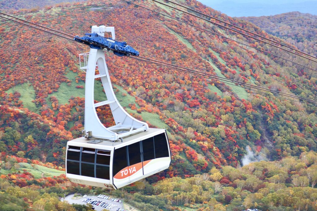
- Location: Tochigi Prefecture
- Elevation: 1,915 m (6,283 ft)
- Parent Range: Nasu Mountain Range
- Listing: “100 Famous Mountains of Japan”
Mount Chausu (茶臼岳), also know as Mt. Nasu, is an impressive active volcano in the northern reaches of Tochigi Prefecture. Standing at 1,915 meters, it is one of the principal peaks of the Nasu Mountain Range and lies within Nikko National Park.
One of the mountain's greatest attractions is the Nasu Ropeway, which transports visitors from the mountainside to the ninth station, close to the summit. The approximately four-minute ride offers sweeping views across the surrounding highlands and volcanic peaks. From the upper station, hikers can reach the summit in approximately 40–50 minutes, where they can explore the crater rim and enjoy magnificent views of the Kanto Plain. Although accessible to relatively inexperienced hikers, the summit trail is rocky and exposed, so sturdy footwear and appropriate clothing are recommended.
The mountain is accessible by bus from Nasushiobara Station, making it a rewarding destination for hikers, nature enthusiasts and travelers exploring northern Tochigi.
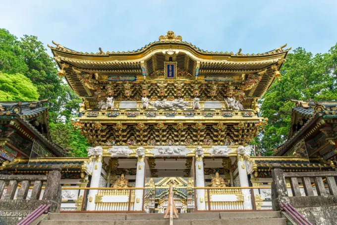
32) Mount Hakone Komagatake (箱根駒ヶ岳)
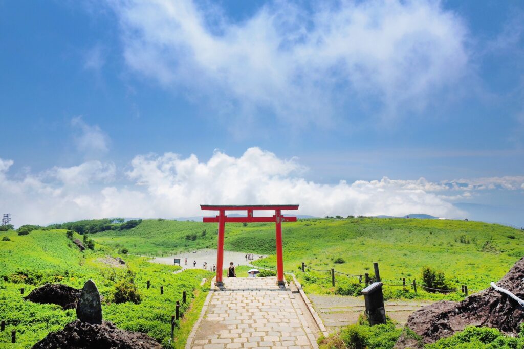
- Location: Kanagawa Prefecture
- Elevation: 1,356 m (4,449 ft)
- Parent Range: Hakone Mountains
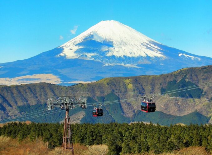
Mount Hakone Komagatake (箱根駒ヶ岳) is a picturesque volcanic peak in the heart of the Hakone region of Kanagawa Prefecture. Rising to 1,356 metres, it forms part of the central volcanic cone of the Hakone volcano and offers some of the finest panoramic views in the Fuji-Hakone-Izu National Park. Its grassy summit provides spectacular vistas of Lake Ashi, Mount Fuji, the Izu Peninsula and the surrounding mountains.
The easiest way to reach the summit is aboard the Hakone Komagatake Ropeway, which departs from Hakone-en on the shores of Lake Ashi. The approximately seven-minute journey covers 1.8 kilometres, carrying visitors to the upper station near the summit. A short walk leads to Hakone Mototsumiya Shrine, a historic mountain sanctuary associated with the famous Hakone Shrine.
33) Mount Mitake (御岳山)
- Location: Tokyo Prefecture
- Elevation: 929 m (3,048 ft)
- Parent Range: Chichibu Mountains
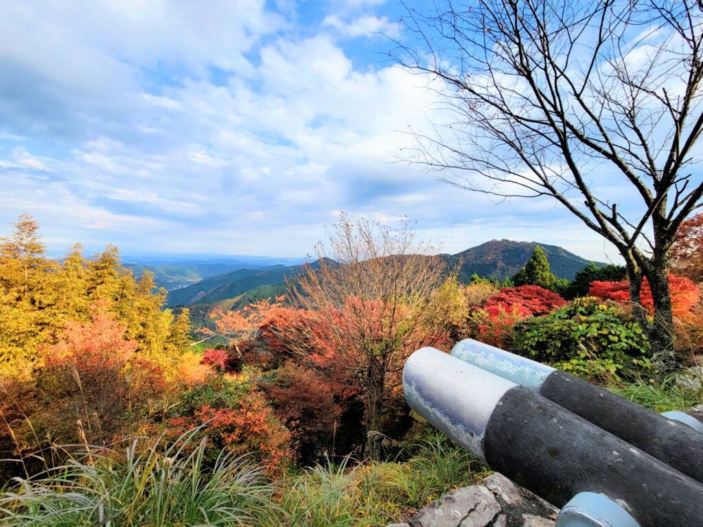
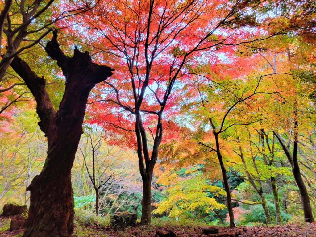
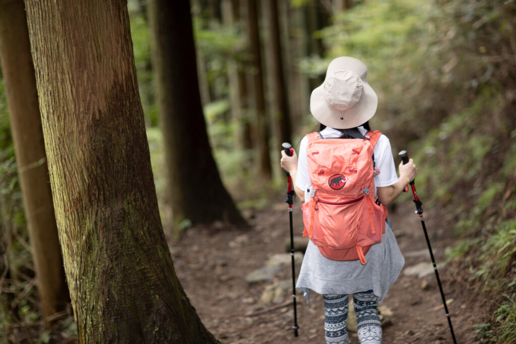
Mount Mitake is renowned for its spiritual history, scenic hiking trails, and abundant natural beauty. Worshipped for centuries, the mountain is home to Musashi Mitake Shrine, a historic Shinto sanctuary near the summit that attracts pilgrims, hikers and visitors throughout the year. The shrine is particularly famous for its association with wolves, regarded as protective guardian spirits.
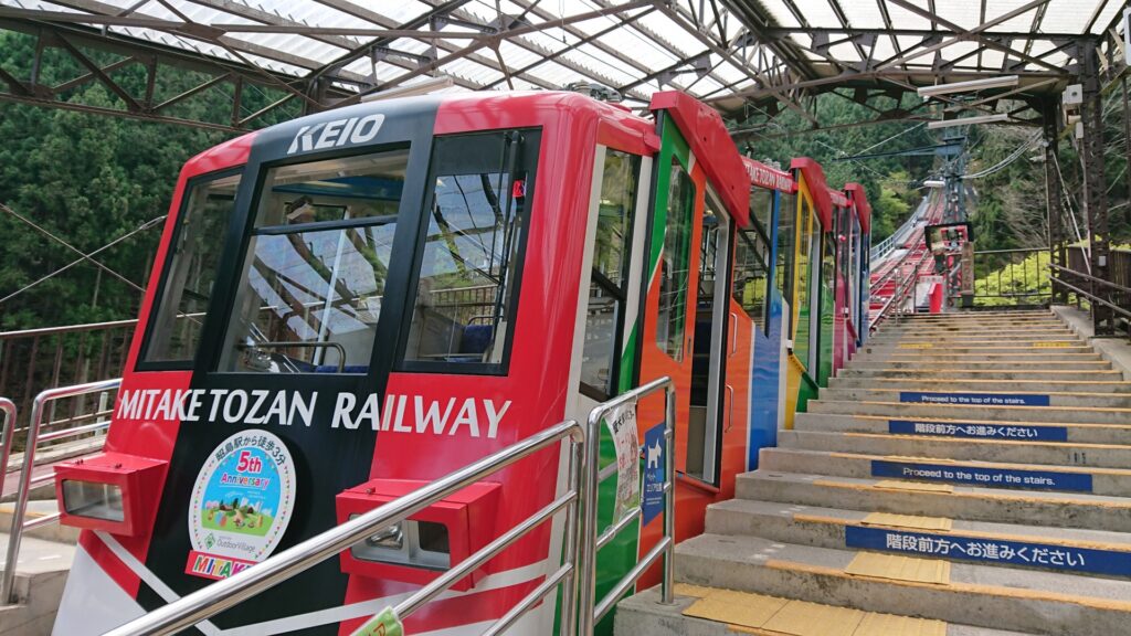
Visitors can enjoy an easy ascent aboard the Mitake Tozan Railway Cable Car, which connects Takimoto Station with Mitakesan Station in approximately six minutes. From the upper station, a pleasant walk leads through a traditional mountain village to the shrine.
34) Mount Nantai (男体山)
- Location: Tochigi Prefecture
- Elevation: 2,486 metres (8,156 feet)
- Parent Range: Nikko Mountains
- Listing: “100 Famous Mountains of Japan”
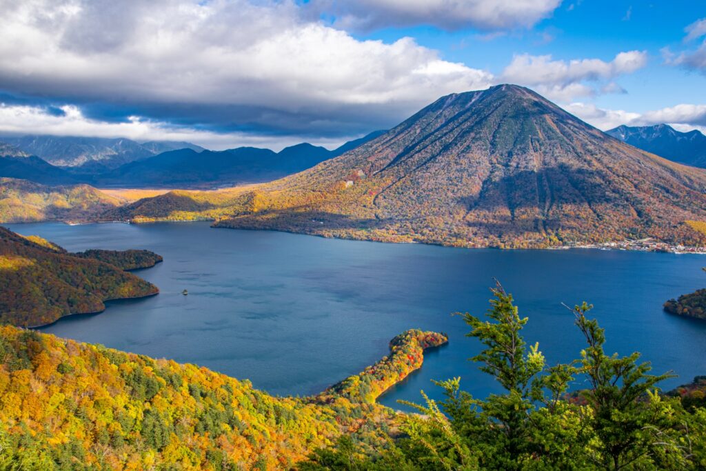
Mount Nantai (男体山) is a magnificent, cone-shaped stratovolcano overlooking the northern shore of Lake Chuzenji in Tochigi Prefecture. One of the most recognisable landmarks of the Oku-Nikko region, this 2,486-metre peak is renowned for its dramatic volcanic scenery, challenging hiking trails and deep spiritual significance. Also known as Mount Futara, it has been worshipped for centuries and is closely associated with Nikko Futarasan Shrine.
According to legend, the Buddhist monk Shodo Shonin first climbed the mountain in 782 and established a small shrine at its summit. Unfortunately, there is no ropeway to the summit, making this a destination best suited to experienced hikers. But there is plenty to explore in the area including Kegon Falls, Ryuzu Falls, Lake Chuzenji and the historic shrines and temples of Nikko.

35) Mount Nikkō-Shirane (日光白根山)
- Location: Tochigi/Gunma Prefectures
- Elevation: 2578m (8,458ft)
- Parent Range: Nikko Volcanic Group
- Listing: “100 Famous Mountains of Japan”, “Top 10 Mountaintop Views”
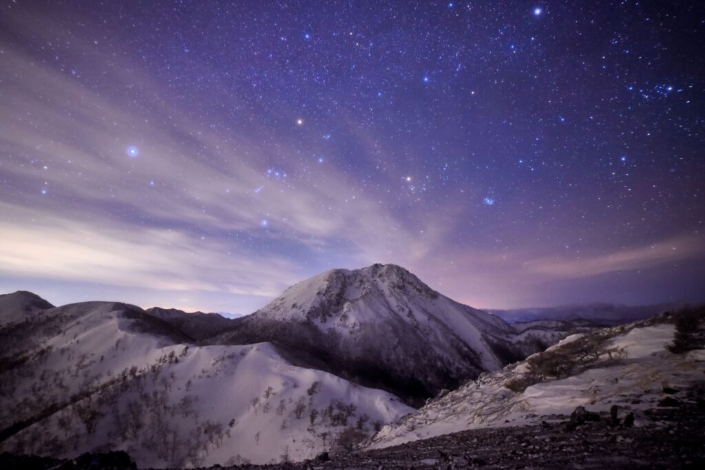
An active volcano, Mount Nikkō-Shirane is the highest mountain in northern Kanto. As part of Nikko National Park, many alpine plants grow on the mountain and Goshikinuma lake (literally “Five-Color Lake”), located along the mountain trail, known for its ethereal, multihued waters.
Travelers can take the Nikko Shiraneyama Ropeway from Marunuma at the foot of the mountain to an altitude of around 2,000m, and to climb from the summit station as well.

36) Mount Oze-Shibutsu (至仏山)
- Location: Gunma Prefecture
- Elevation: 2,228 m (7,310 ft)
- Parent Range: Echigo Mountains
- Listing: “100 Famous Mountains of Japan”, “100 Famous Flower Mountains”
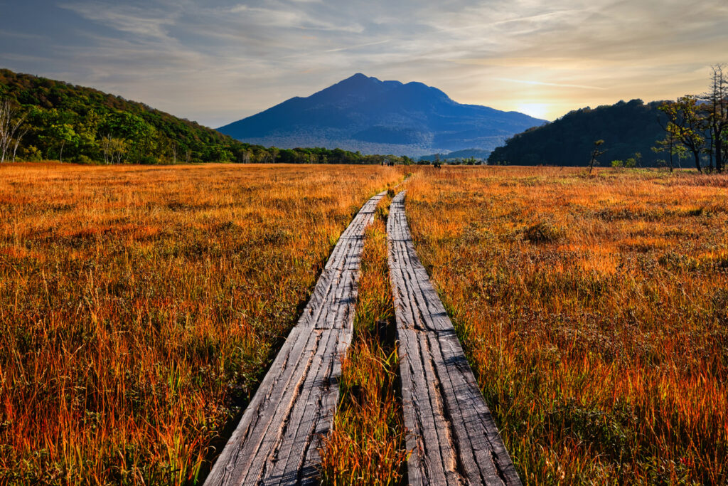
Mount Oze-Shibutsu (至仏山), commonly known as Mount Shibutsu, is one of Japan's most treasured wilderness areas. It overlooks the magnificent Ozegahara Marsh, Japan's largest high-altitude wetland, and is celebrated for its distinctive alpine vegetation, dramatic rocky slopes and outstanding panoramic views.
The mountain is particularly famous for its unusual serpentinite geology, which creates challenging growing conditions and supports a remarkable collection of rare alpine plants. During summer, colourful wildflowers transform its upper slopes, making it a favourite destination for botanists and nature enthusiasts.
The most popular approach begins at Hatomachi-toge Pass, reached by seasonal shuttle bus or shared taxi from Oze-Tokura. The climb takes approximately 2 hours 40 minutes, with a further 2 hours to descend via the southern ridge.
37) Mount Takao (高尾山)


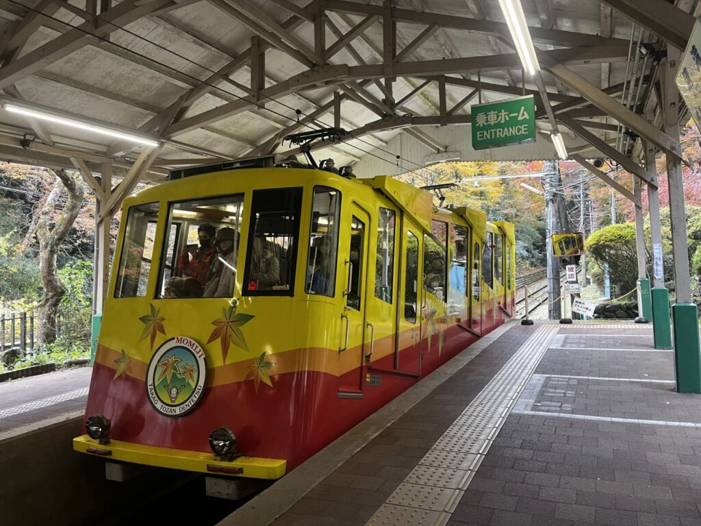
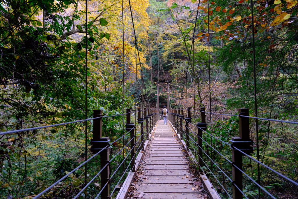
- Location: Tokyo Prefecture
- Elevation: 599 m (1,965 ft)
- Parent Range: Chichibu Mountains
- Listing: “World's Most Visited Mountains”, “Michelin Green Guide Japan”
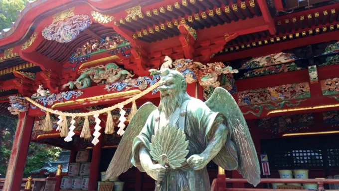
Located within an hour of downtown Tokyo, Mt Takao is a popular hiking spot, with more than 2.5 million annual visitors. A popular mountain for shugendo, Mt. Takao is also known for its association with the mythical creatures Tengu.
38) Mount Tsukuba (筑波山)
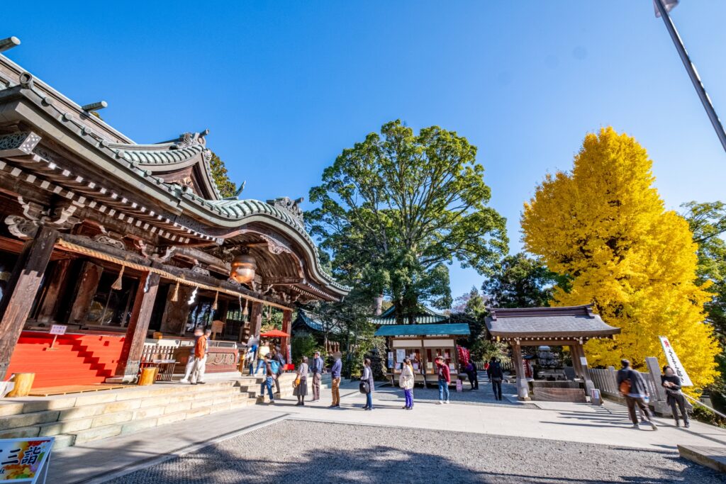
- Location: Ibaraki Prefecture
- Elevation: 877 m (2,877 ft)
- Parent Range: Tsukuba Mountains
- Listing: “100 Famous Mountains of Japan”
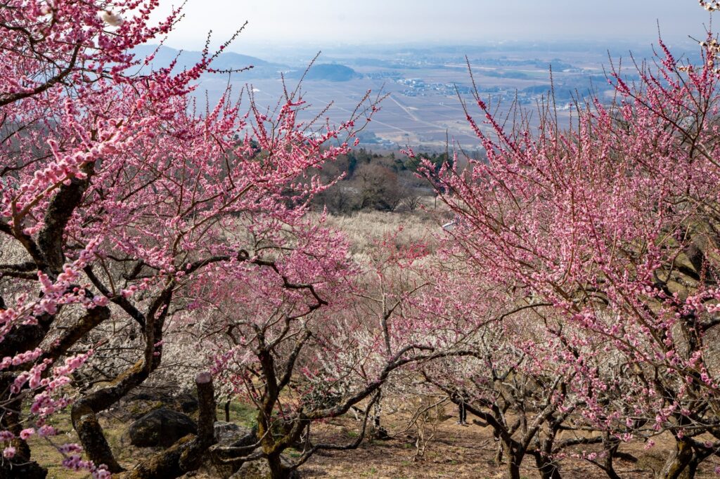
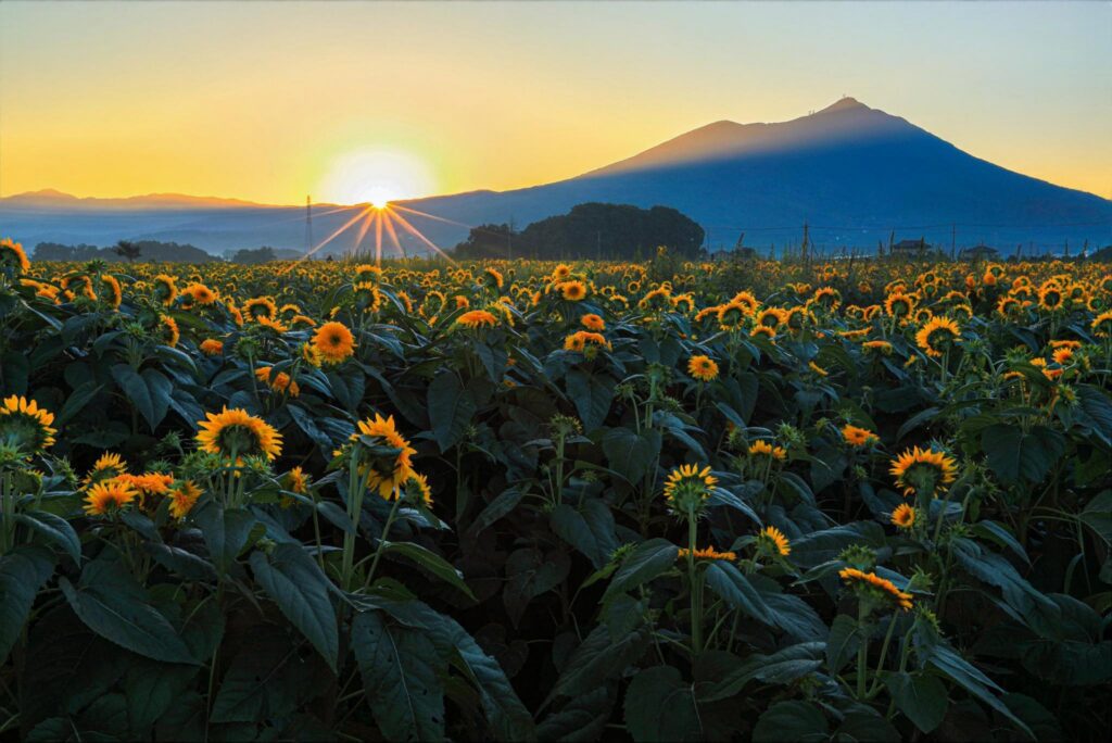
Mount Tsukuba is exceptionally accessible thanks to two separate mountain transport systems. The Mount Tsukuba Cable Car runs from Miyawaki Station near Tsukubasan Shrine to the upper mountain in approximately eight minutes, while the Mount Tsukuba Ropeway connects Tsutsujigaoka Station with the vicinity of Mount Nyotai in around six minutes. Together, they allow visitors to explore both summits without undertaking the full climb.
Nearby attractions include the historic Tsukubasan Shrine, the scenic Tsukuba Plum Grove and the surrounding Tsukuba Onsen hot spring area. The mountain is particularly popular during spring blossom season and autumn foliage, while special evening ropeway and cable car services offer opportunities to enjoy spectacular nighttime views.
Tokai region (Aichi, Gifu, Shizuoka, Mie)
39) Mount Amagi (天城山)
- Location: Shizuoka Prefecture
- Elevation: 1,406 m (4,613 ft)
- Parent Range: Amagi Mountain Range (independent volcanic mountain group)
- Listing: “100 Famous Mountains of Japan”, “100 Famous Flower Mountains of Japan”
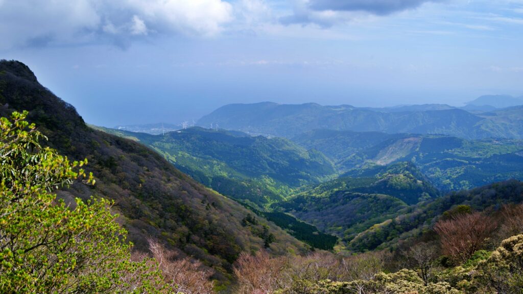
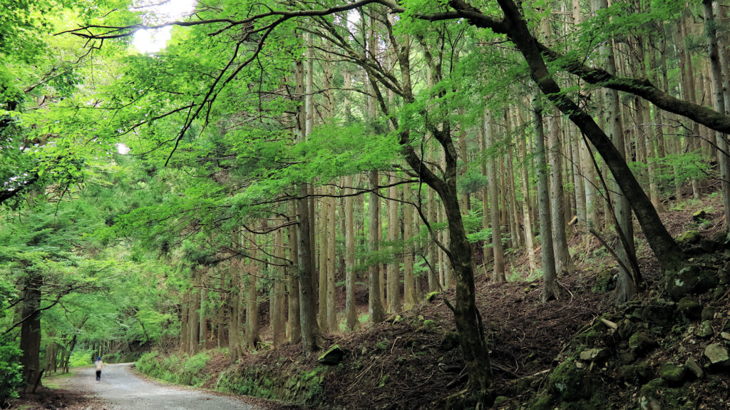
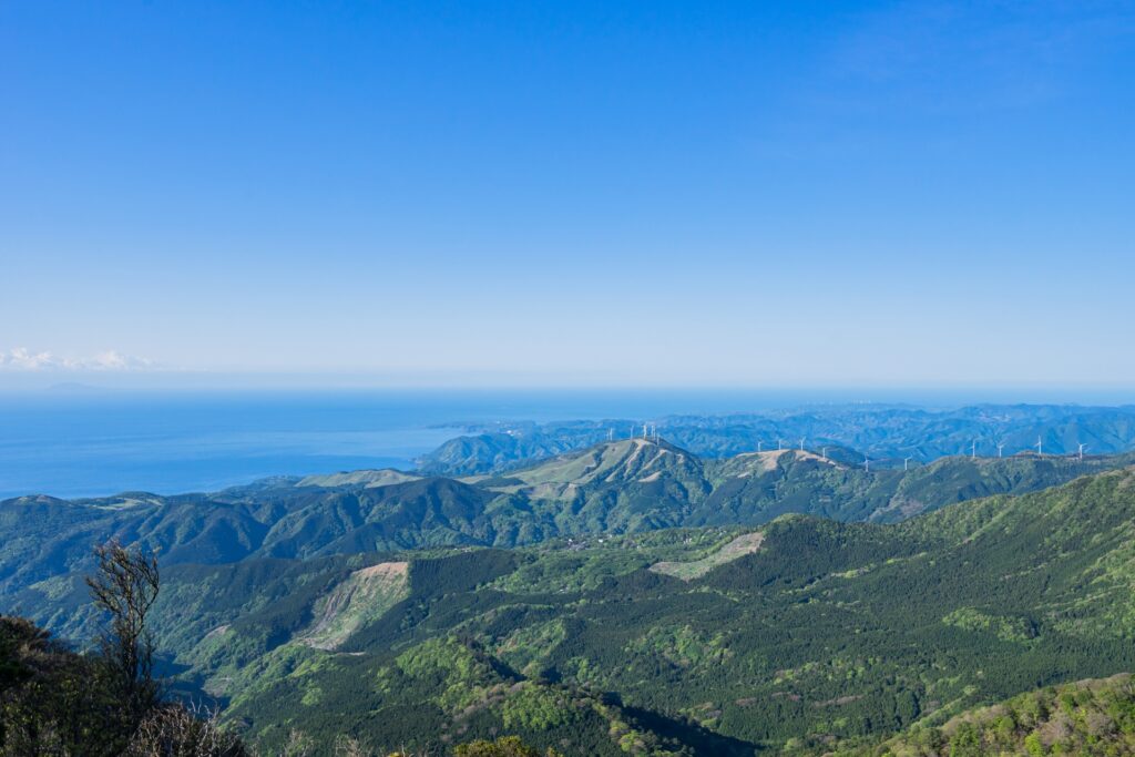
Mount Amagi (天城山, Amagi-san), also known as the Amagi Mountain Range (天城連山), is an extensive range of volcanic mountains running across the central Izu Peninsula in Shizuoka Prefecture. Its highest summit, Mount Banzaburo (万三郎岳), reaches 1,406 metres and is the highest point on the Izu Peninsula.
Part of Fuji-Hakone-Izu National Park, the mountain range is renowned for its lush forests of Japanese beech and stewartia, abundant moss-covered landscapes, and spectacular displays of native rhododendrons, particularly the beautiful Amagi rhododendron. The area also features Hacchō Pond, a picturesque highland wetland, and numerous scenic hiking trails that traverse its forested ridges.
40) Mount Asama (Asakuma) 朝熊山
- Location: Mie Prefecture
- Elevation: 555 m (1,821 ft)
- Parent Range: Kii Mountains
- Listing: “Japan’s 100 most scenic spots”
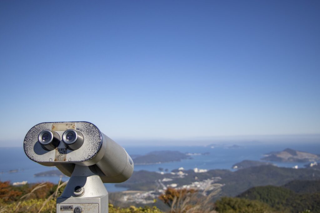
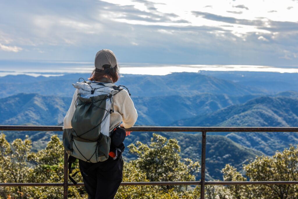
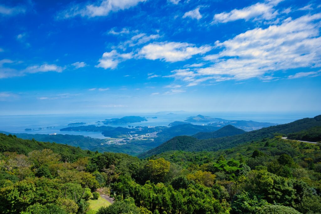
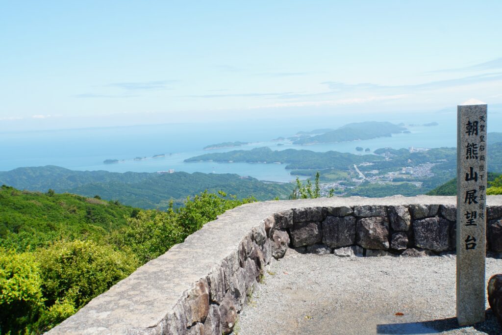
As the highest peak on the Shima Peninsula, which juts out into the Pacific Ocean, Mt. Asama is one of Japan's 100 most scenic spots.
Located within Ise-Shima National Park, the summit is a popular spot for viewing the first sunrise of the year and is known as a sacred mountain of Ise. It was common for people who had finished their pilgrimage to Ise Shrine to also visit Mount Asama. In fact, there are some folk songs that state “If you visit Ise, you must also climb Mount Asama; if you do not climb Mount Asama, your pilgrimage is incomplete. . .”.
From the Sengoku period to the early Edo period, Mt. Asama served as a sanctuary beyond the reach of governing powers, and was chosen as a hiding place for many ronin (masterless samurai).
41) Mount Chausuyama (茶臼山)
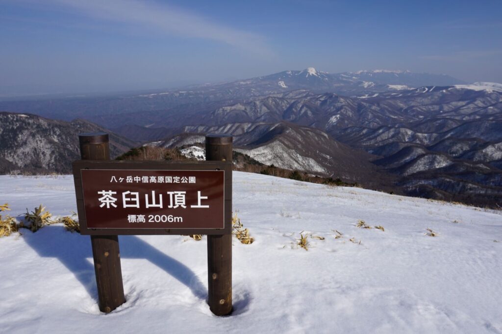
- Location: Aichi/Nagano Prefectures
- Elevation: 1,416 m (4,646 ft)
- Parent Range: Okumikawa Mountains
- Listing: “Aichi Prefecture's Highest Mountain”, “Shinshu 100 Famous Mountains”, “Aichi's 130 Famous Mountains”
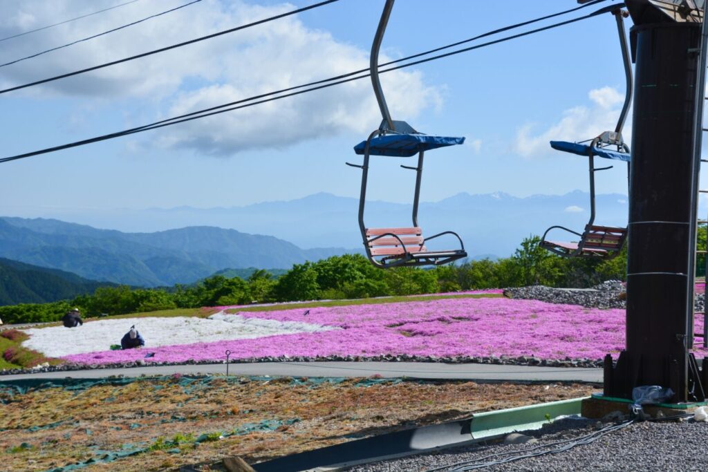
Mount Chausuyama (茶臼山, Chausuyama), also known as Mount Chausu, is a scenic mountain situated on the border between Aichi and Nagano prefectures in Central Japan. Rising to approximately 1,416 meters, it is the highest mountain in Aichi Prefecture.
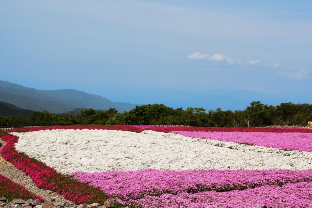
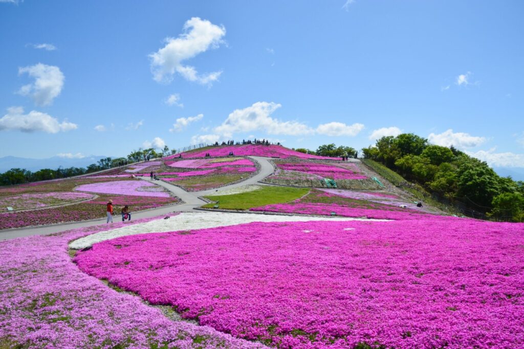
The mountain is surrounded by the picturesque Chausuyama Highlands, a popular year-round recreational destination offering hiking, camping, cycling, and winter skiing. Particularly famous for its spectacular spring displays of pink moss phlox (shibazakura) on nearby Mount Hagitaro, the area attracts visitors with its colourful seasonal landscapes.
In autumn, the surrounding forests become vibrant with foliage, while winter brings snow-covered scenery and opportunities for skiing and snowboarding.
From the summit, hikers can enjoy expansive views of the surrounding highlands and the distant Southern Japanese Alps.
Fun Fact: Chausuyama is home to Aichi Prefecture's only ski resort, making it a popular winter destination.

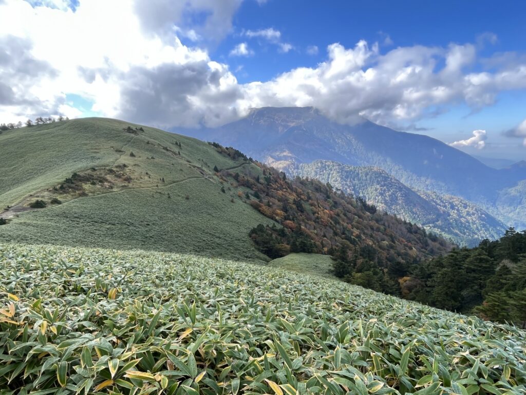
42) Mount Ena (恵那山)
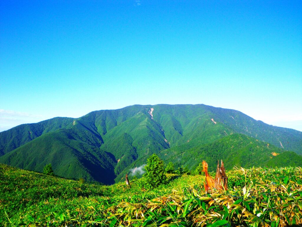
- Location: Gifu/Nagano Prefectures
- Elevation: 2,191 m (7,188 ft)
- Parent Range: Kiso Mountains (Japan’s Central Alps)
- Listing: “100 Famous Mountains of Japan”
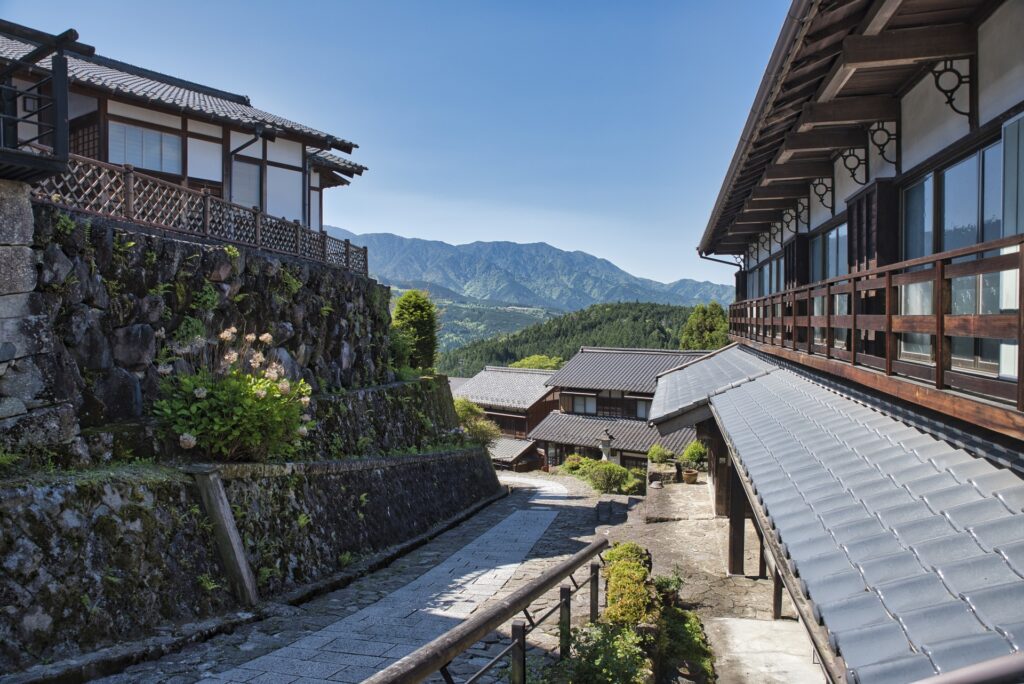
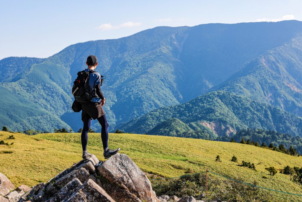
Mt. Ena is located at the southernmost tip of the Kiso Mountain Range (Japan’s Central Alps) and is visible from the Nobi plane where Nagoya is located. At the foot of the mountain lies the Nakasendo post towns of Tsumago and Magome.
The famous Japanese author Tōson Shimazaki grew up in Magome, looking at Mt Ena everyday, and used the mountain in his novel “Before the Dawn”.
Fun Fact: Some people believe that Amaterasu Omikami (the sun goddess) was born of Mt. Ena, and her placenta was buried on this mountain.
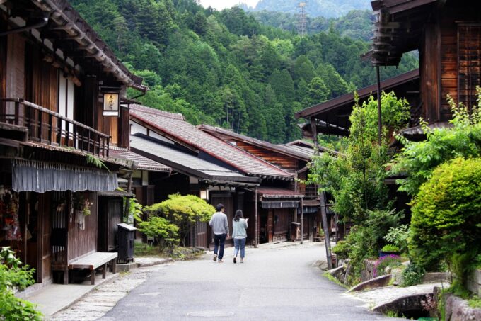
Recommended Tour: Step into the past and experience life in rural Japan as you hike the Nakasendo trail from Tsumago-juku to Magome-juku on Snow Monkey Resort's highly rated 1-Day Tour from Nagoya: Hiking the Historic Nakasendo Trail.
Best Selling
1-Day Tour from Nagoya: Hiking the Historic Nakasendo Trail
- Spots:
- NagoyaKiso Valley
- Pick-up:
- Nagoya
- Drop-off:
- Nagoya
43) Mount Fuji (富士山)

- Location: Yamanashi/Shizuoka Prefectures
- Elevation: 3,776 m (12,388 ft)
- Parent Range: isolated peak
- Listing: “100 Famous Mountains of Japan”, “Top 10 Tallest Mountain in Japan: #1”, “Three Sacred Mountains of Japan”, “Seven Sacred Mountains of Japan”, “Top 10 Mountaintop Views”, UNESCO World Heritage Site
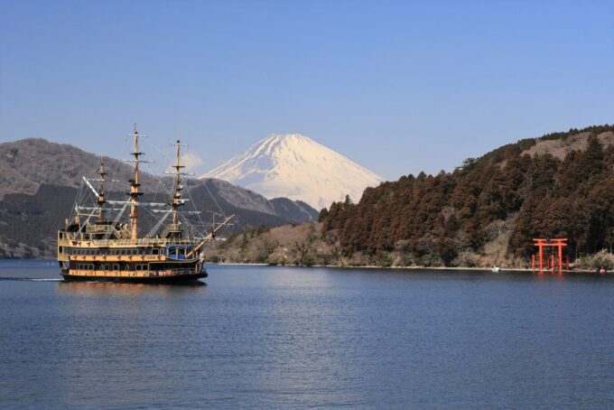
As the highest mountain in Japan and the seventh highest in the world, Mt. Fuji hardly needs an introduction. The symmetrical active stratavolcano is a cultural icon attracting millions of visitors, photographers, hikers, and day-trippers every year.
Mt. Fuji is located within Fuji-Hakone-Izu National Park and is also one of Japan's most important spiritual destinations, having served as a sacred site of pilgrimage and mountain worship for centuries. There are four principal climbing routes: Yoshida, Fujinomiya, Subashiri, and Gotemba. The official climbing season generally runs from July to early September, with dates varying by route.
Mount Fuji was inscribed as a UNESCO World Cultural Heritage Site in 2013 in recognition of its profound religious significance and influence on Japanese and international art.
44) Mount Gozaisho (御在所)


- Location: Mie/Shiga Prefectures
- Elevation: 1,212 m (3,973 ft)
- Parent Range: Suzuka Mountains
- Listing: “200 Famous Mountains of Japan”
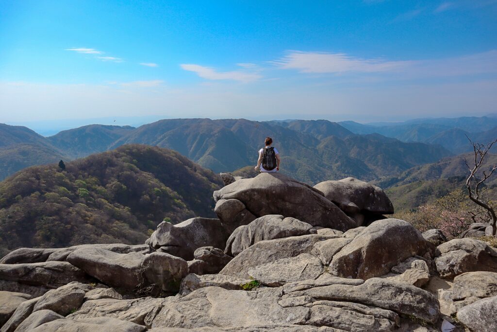
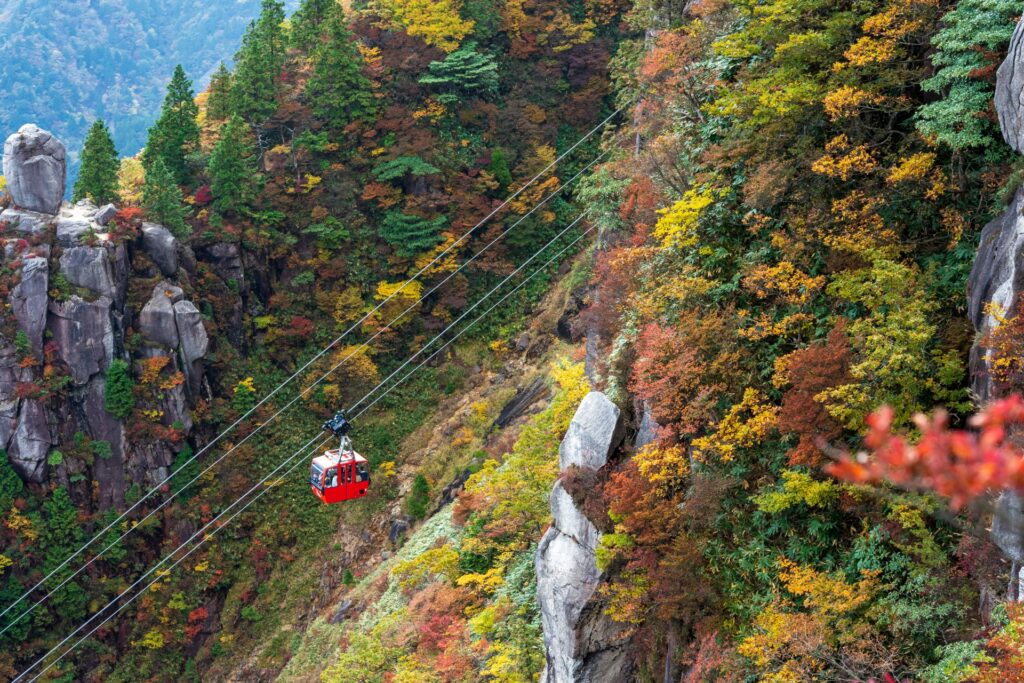
Mount Gozaisho, like all the mountains of the Suzuka Mountains range, was formed by a fault. As a result, the structure of the mountain range as seen from the Mie Prefecture side is incredibly steep with many ridges and unusual rock formations—making it remarkably different from the structure of the mountains as seen from the Shiga Prefecture side.
The Gozaisho Ropeway runs from Yunoyama Onsen on the Mie Prefecture side to just below the summit. The mountainside, as seen from the ropeway and the summit observation platforms, is incredibly beautiful year-round with azaleas, and cherry blossoms in spring; red dragonflies in summer; autumn leaves in fall ; and frost-covered trees in winter.
45) Mount Iimori (飯盛山)
- Location: Aichi Prefecture
- Elevation: 254 m (833 ft)
- Parent Range: Mino-Mikawa Highlands
- Listing: “130 Mountains of Aichi”
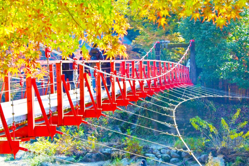
Mt. Iimori was once the site of a castle during the Heian period (1177-1182). The mountaintop was leveled in three tiers, with archery towers constructed on the west and north sides of the mountain. Traces of this remain in the topography today.
After the decline of the Asuke clan, Koshakuji Temple was built on the site of the former castle to commemorate them. In the early Edo period, the 11th generation head monk of Koshakuji Temple, San'ei, planted maple trees around the mountain as part of his Zen Buddhist practices.
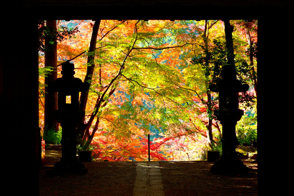
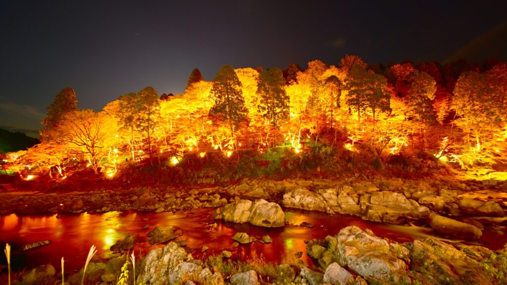
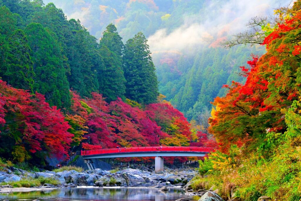
Today, the mountain is known by the name of the gorge, Korankei, and has become famous for its spectacular autumn foliage.
Recommended Tour: Snow Monkey Resort's 1-Day Tour from Nagoya: Korankei Gorge & Fox Shrines—A Photographer's Paradise is not only a photographer’s dream, taking you to some of Nagoya’s most photogenic spots, but also offers a perfect blend of nature, culture, and timeless beauty.
Travel to the iconic Toyokawa Inari Shrine and capture the serene beauty of its one thousand stone foxes. Marvel at the natural beauty of Korankei Gorge, one of Japan’s top spots for autumn foliage, where the vibrant colors of over 4,000 maple trees reflect off the tranquil waters. Explore Sanshu Asuke Yashiki Village, a picturesque open-air museum, where rural charms and traditional crafts await.

46) Mount Katsuragi (葛城山)
- Location: Shizuoka Prefecture
- Elevation: 452 m (1,483 ft)
- Parent Range: Izu Peninsula Mountains
- Listing: “Izu Three Mountains”
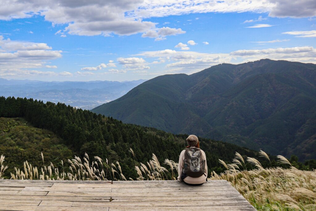
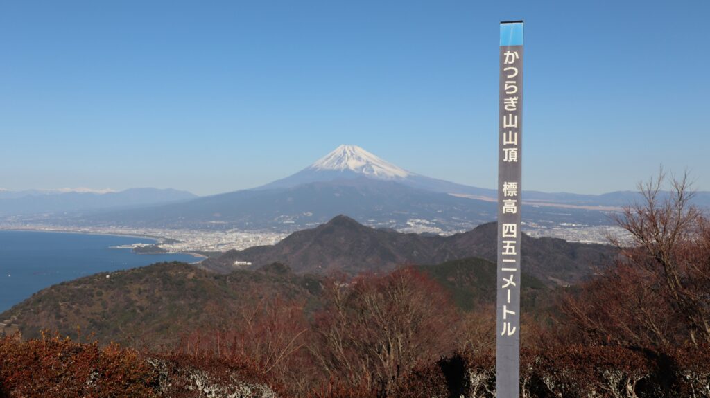
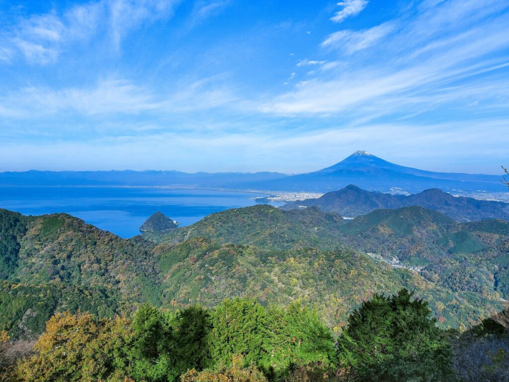
Mount Katsuragi (葛城山, Katsuragi-yama) is a picturesque mountain on the Izu Peninsula in Shizuoka Prefecture. Rising to 452 metres above sea level, it is a popular scenic destination renowned for its spectacular panoramic views of Mount Fuji, Suruga Bay, and the surrounding Izu Peninsula.
The summit is accessible by the Izu Panorama Park ropeway, as well as several hiking trails, making it an easily reached destination for visitors of all ages. Much of the summit area features landscaped gardens, observation decks, and walking paths, with the famous Blue Terrace providing particularly impressive views of Mount Fuji on clear days.
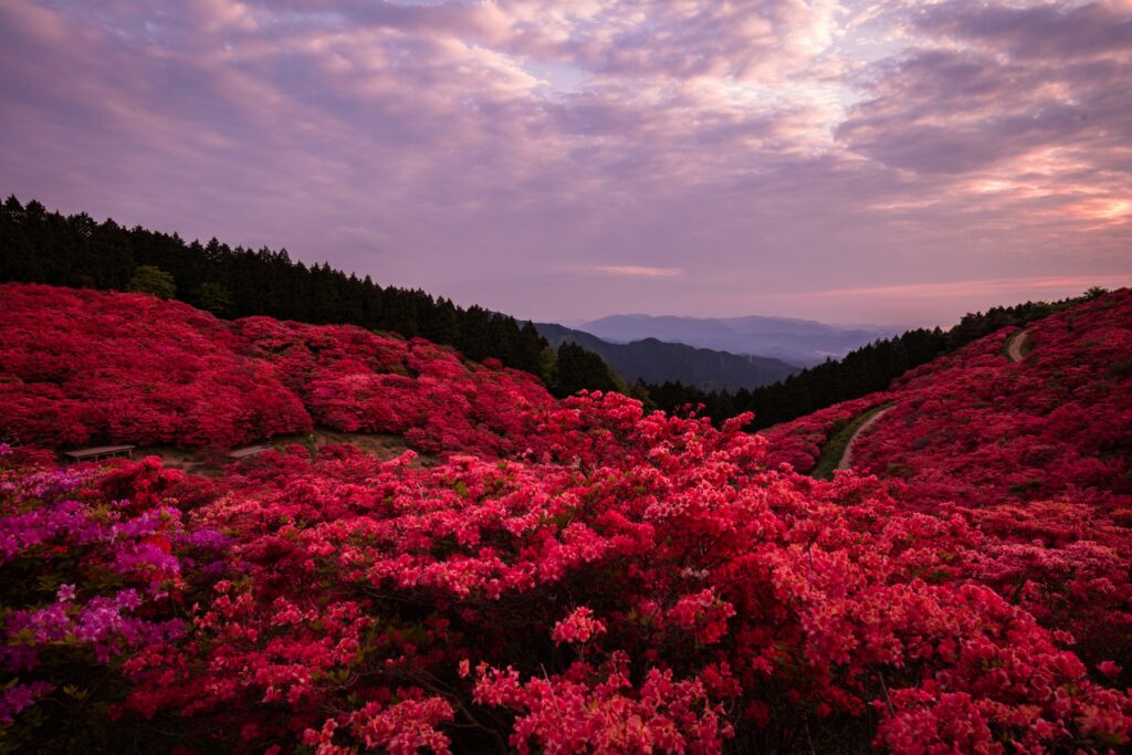
Mount Katsuragi is also celebrated for its extensive displays of wild azaleas, which bring vibrant colour to its slopes during spring. Geologically, the mountain is especially interesting because it represents the exposed remains of an ancient volcanic conduit, offering a glimpse into the volcanic history of the Izu Peninsula.
47) Mount Kinkazan (金華山)
- Location: Gifu Prefecture
- Elevation: 329 m (1,079 ft)
- Parent Range: isolated peak
- Listing: National Historic Site
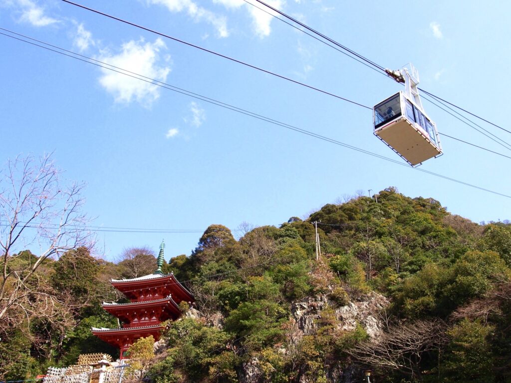
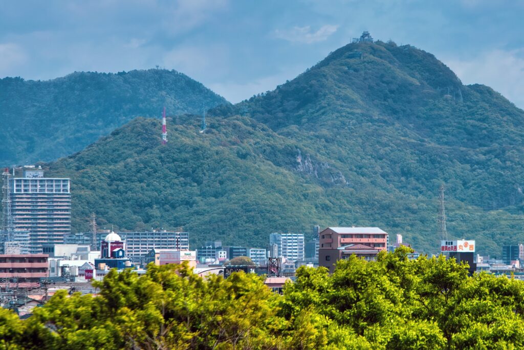
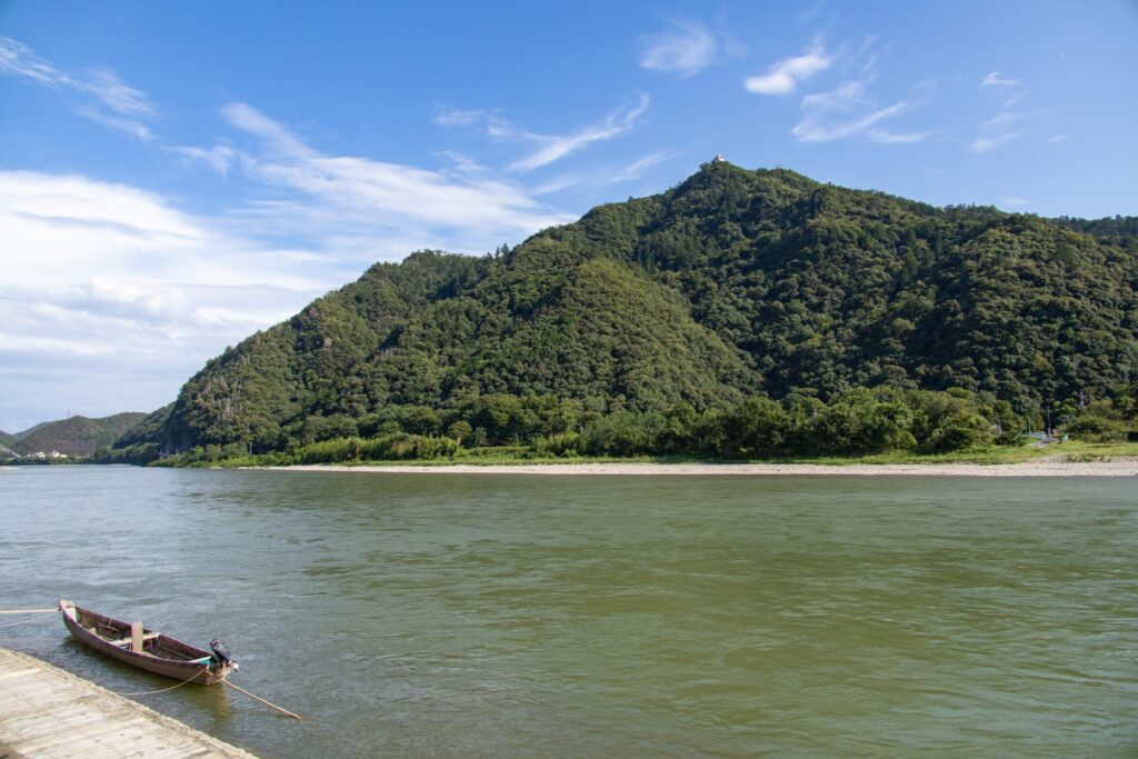
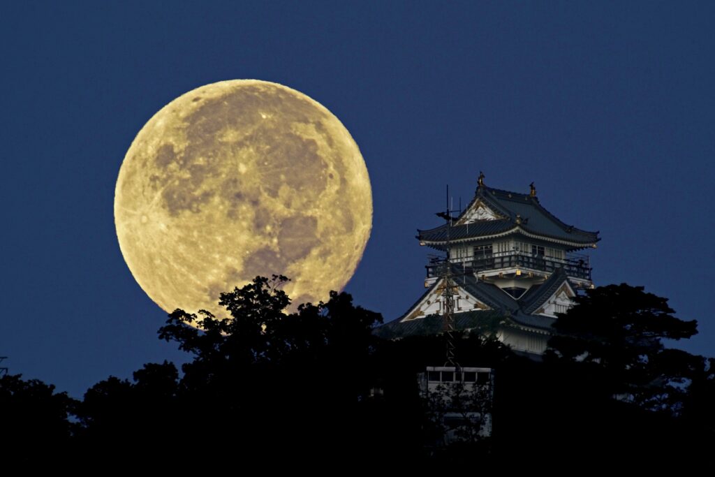
Formally known as Mount Inaba, Kinkazan (Mount Kinka) is home to Gifu Castle and is the symbol of Gifu City. The name Kinka-zan comes from the fact that when the Castanopsis sieboldii flowers bloom, the entire mountain appears yellow and shines with a golden hue.
Numerous hiking trails, plus a ropeway, lead to the summit of Mt. Kinka and Gifu Castle, making it an excellent destination for travelers in Gifu or Nagoya.

48) Mount Norikura (乗鞍岳)


- Location: Gifu/Nagano Prefectures
- Elevation: 3,025.64 m (9,926.6 ft)
- Parent Range: Hida Mountains (Japan’s Northern Alps)
- Listing: “100 Famous Mountains of Japan”
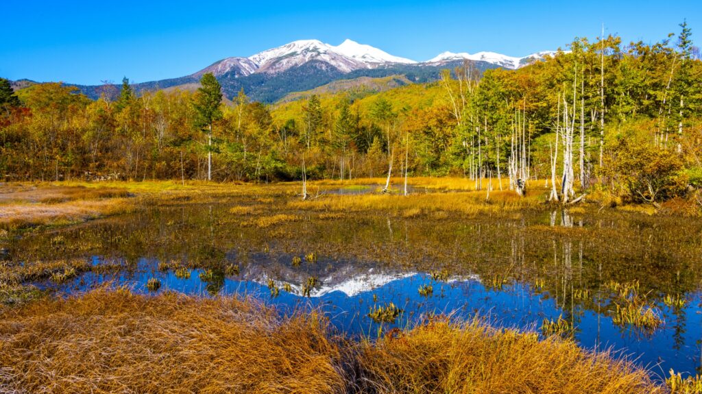
Mt. Norikura is the third highest volcano in Japan after Mt. Fuji and Mt. Ontake.
Two additional peaks, Mount Kengamine (剣ヶ峰 Kengamine) and Mount Ebisu (恵比寿岳 Ebisu-dake), were formed during eruptions 9,600 and 9,200 years ago. Nowadays, volcanic gas is still escaping through the Yū River resulting in many onsen areas in the surrounding the mountain.
49) Mount Okuho-Taka (奥穂高岳)
- Location: Nagano/Gifu Prefectures
- Elevation: 3,190 metres (10,466 feet)
- Parent Range: Hida Mountains (Japan’s Northern Alps)
- Listing: “Top 10 Tallest Mountain in Japan: #3”, “Top 10 Mountaintop Views”
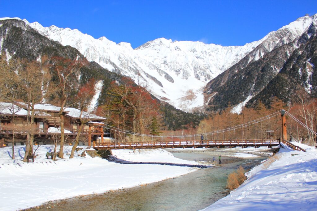
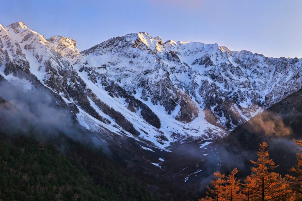
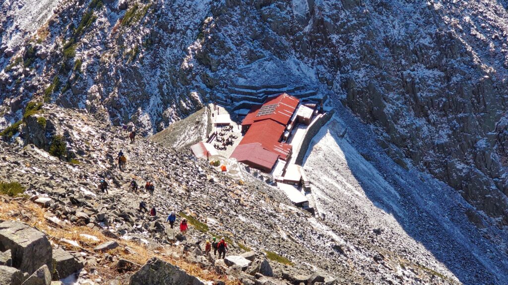
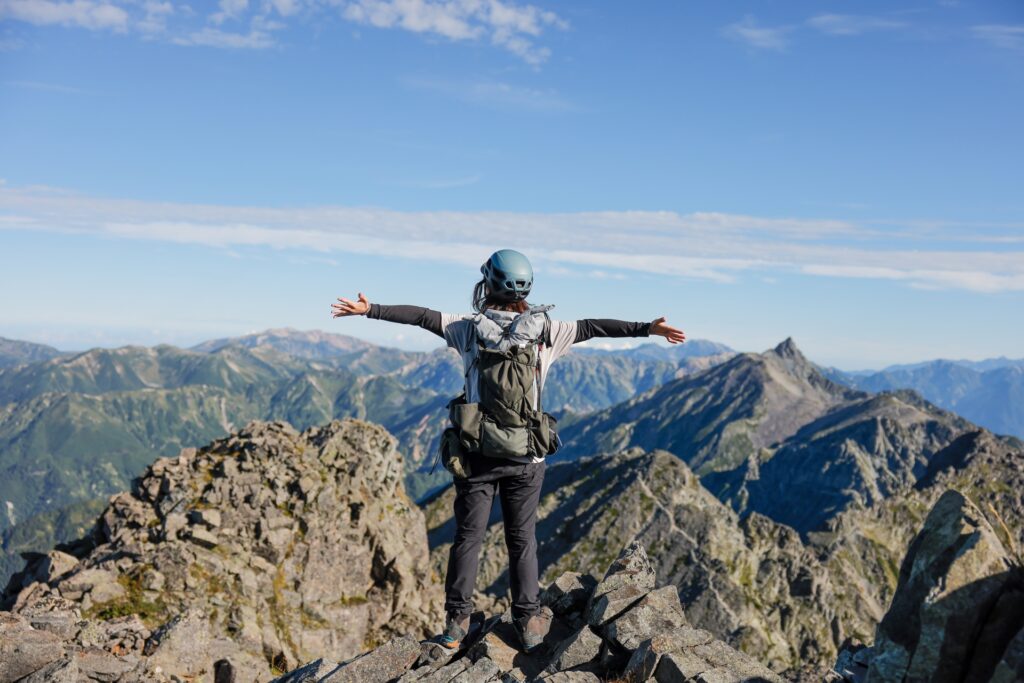
Mount Okuhotaka, also known as Okuhotaka-dake, is Japan's third-highest mountain, rising to an impressive 3,190 metres above sea level. Located on the border of Nagano and Gifu Prefectures, it is the highest peak of the Hotaka Mountain Range within the spectacular Northern Japanese Alps and can be seen from Kamikochi.
Known for its dramatic rocky ridges, steep cliffs, and breathtaking alpine scenery, the mountaintop offers spectacular panoramic views of surrounding peaks, including Mount Yari and, on clear days, Mount Fuji. Its rugged landscape and commanding summit make it one of Japan's most iconic destinations for experienced mountaineers and nature enthusiasts, but can also be enjoyed from a more casual walk through Kamikochi.

50) Mount Omuro (大室山)
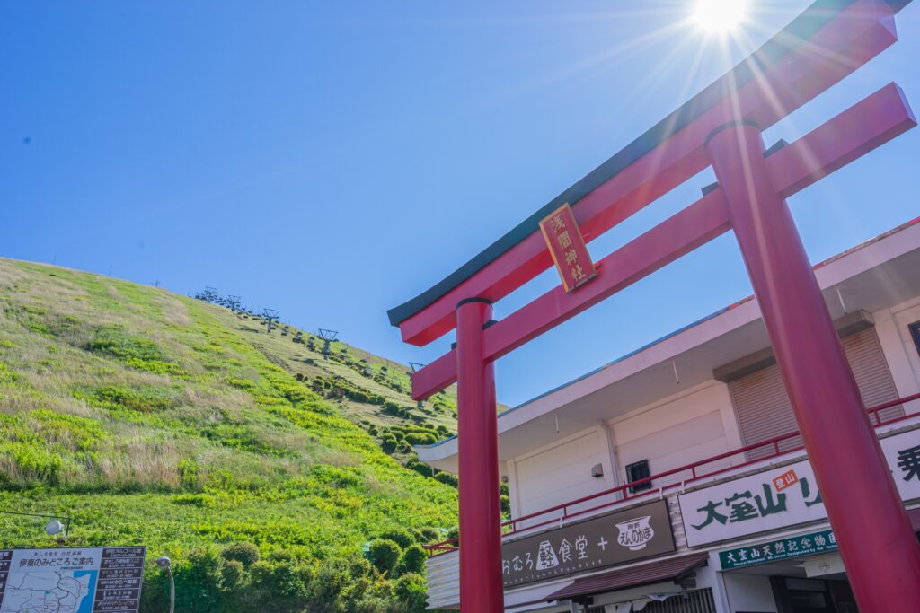
- Location: Shizuoka Prefecture
- Elevation: 580 m (1,903 ft)
- Parent Range: Izu Eastern Volcanic Group
- Listing: “National Natural Monument of Japan”, “Izu Peninsula UNESCO Global Geopark”, “Michelin Green Guide”
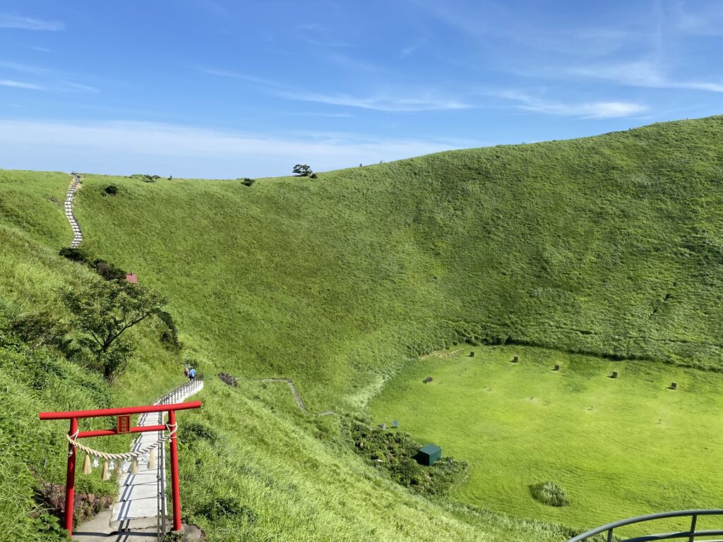
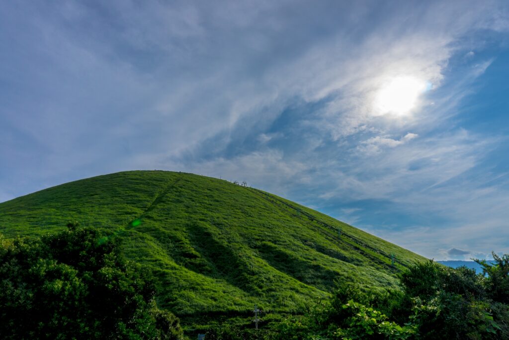
Mount Omuro (大室山, Ōmuro-yama) is a distinctive volcanic mountain located near the eastern coast of the Izu Peninsula in Shizuoka Prefecture. Rising to 580 metres, this remarkably symmetrical scoria cone is one of the most recognisable natural landmarks of the Izu region, with its smooth, grass-covered slopes resembling an enormous inverted rice bowl.
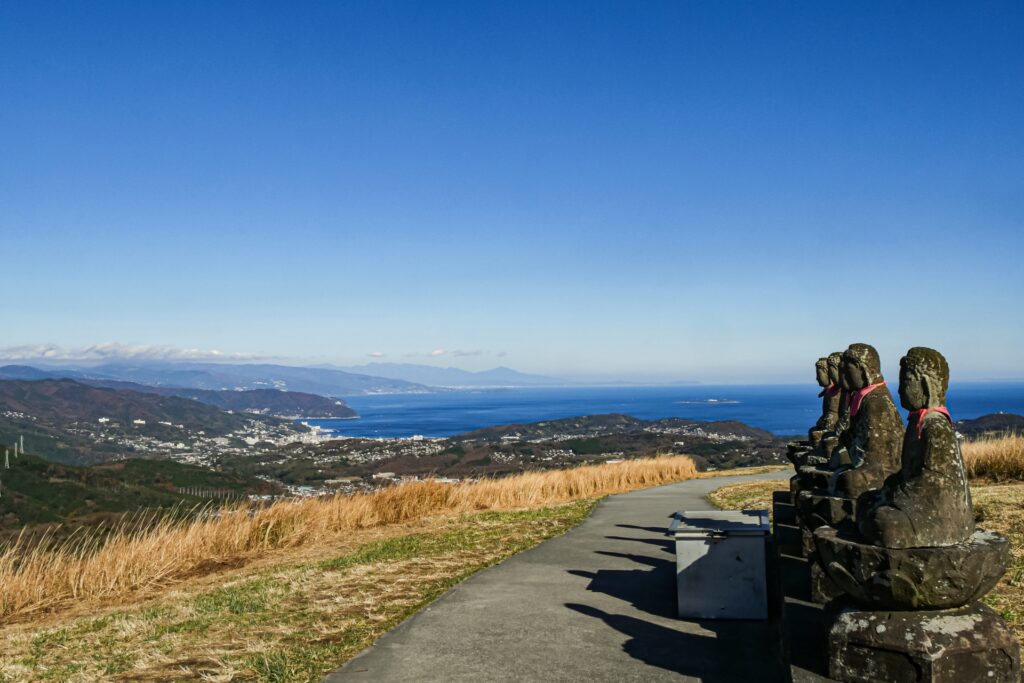
Formed by a volcanic eruption approximately 4,000 years ago, Mount Omuro features a large summit crater measuring around 300 metres in diameter and 70 metres in depth. A circular walking trail follows the crater rim, providing spectacular 360-degree views of the surrounding Izu Peninsula, Sagami Bay, the Izu Islands, and, on clear days, Mount Fuji and the Southern Japanese Alps.
Recognised as a National Natural Monument and part of Fuji-Hakone-Izu National Park, the mountain is particularly famous for its traditional annual grass-burning festival, known as Yamayaki, a centuries-old practice that maintains its distinctive grassland landscape.
Visitors can reach the summit by chairlift and explore the crater, which even contains an archery range.
51) Mount Ontake (御嶽山)

- Location: Gifu/Nagano Prefectures
- Elevation: 3,067 m (10,062 ft)
- Parent Range: isolated peak
- Listing: “100 Famous Mountains of Japan”, “Seven Sacred Mountains of Japan—alternative list”
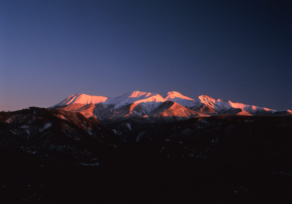
Though Mt. Ontake is the 14th highest mountain in Japan, it is Japan’s second highest volcano (after Mt. Fuji). From the Tokai region, centered around Nagoya, Mt. Ontake can be seen from almost anywhere, with many visitors mistaking it for Mt. Fuji.
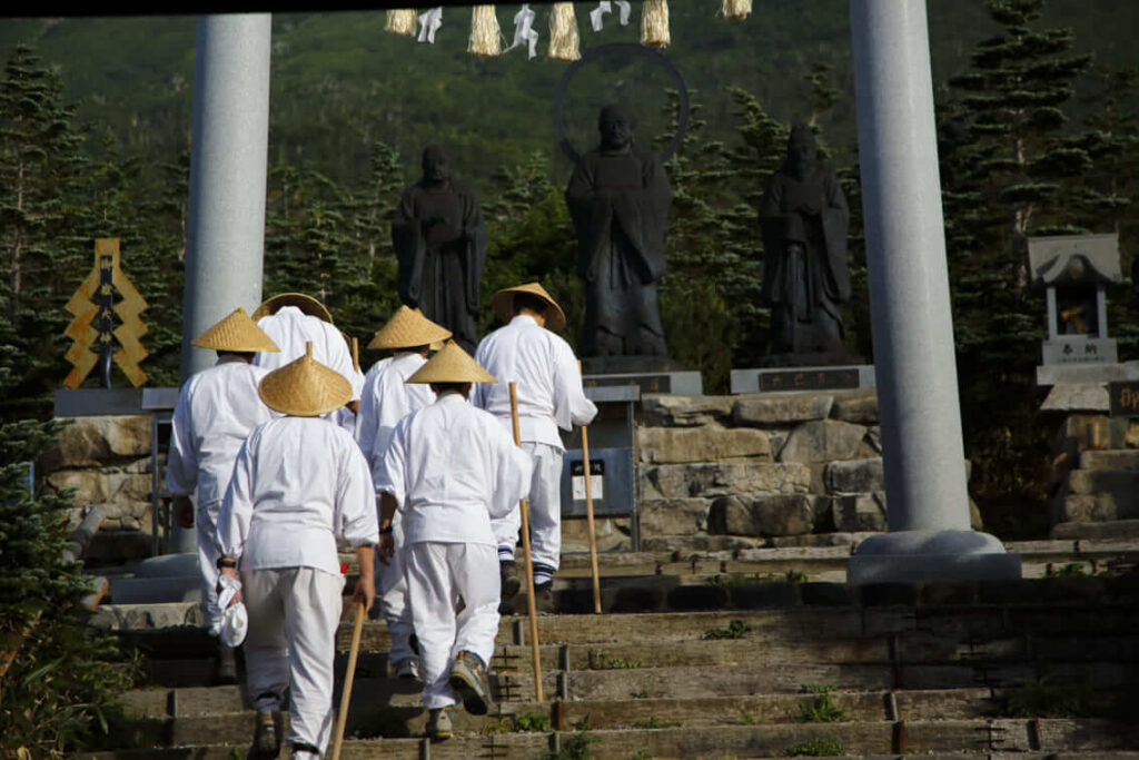
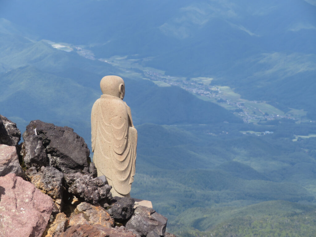
The mountain has been considered sacred since ancient times. Prior to the Edo period (1603–1867), the mountain was off-limits to the general public only entered by Shugendo monks who developed a network of ancient pilgrimage trails known collectively as the Ontake Kodo. The trails connect shrines and mountain ascetic training grounds.
In the late eighteenth century, two Shugendo monks, named Fukan and Kakumei, built hiking trails to popularize the faith and encourage people to visit the mountain.
52) Mount Yakedake (焼岳)
- Location: Gifu/Nagano Prefectures
- Elevation: 2,455 m (8,054 ft)
- Parent Range: Hida Mountains (Japan’s Northern Alps)
- Listing: “100 Famous Mountains of Japan”
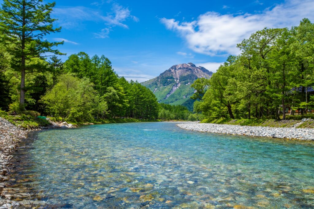
Literally translating to “burning mountain”, Mt. Yakedake is the most active of all the volcanoes in the Hida Mountains and the source of Kamikochi’s iconic blue lake Taisho-ike. In 1915, during the Taishō period, Mt Yakedake erupted causing a flow of the lava to block the Azusa River, which caused the river to form a lake.
Mount Yake's volcanic activity has also created abundant hot springs including Kamikochi Onsen, Nakanoyu Onsen, Sakamaki Onsen, and Hirayu Onsen.
53) Mount Yarigatake (槍ヶ岳)
- Location: Gifu/Nagano Prefectures
- Elevation: 3,180 m (10,430 ft)
- Parent Range: Hida Mountains (Japan’s Northern Alps)
- Listing: “100 Famous Mountains of Japan”, “Top 10 Tallest Mountain in Japan: #5”
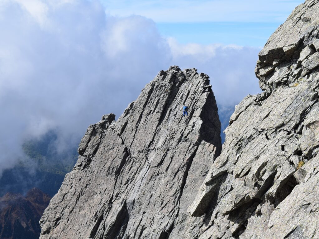
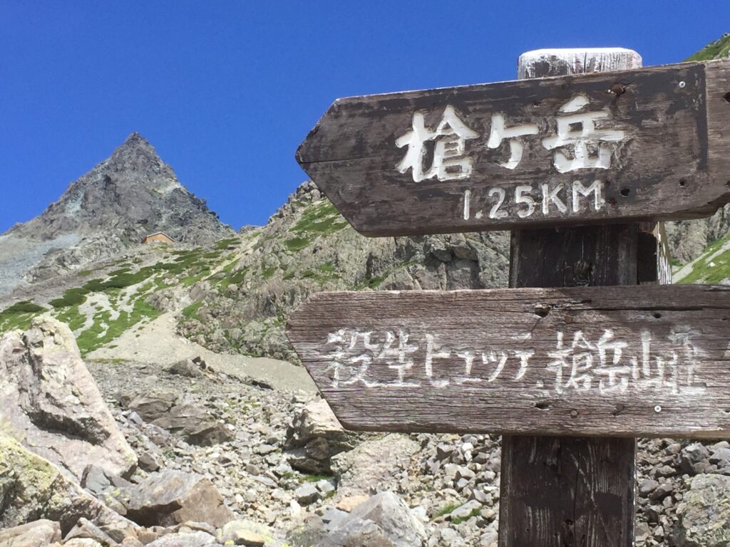
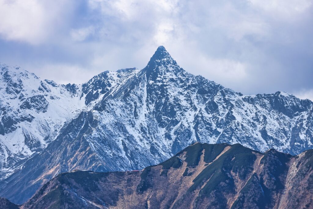
Mt Yarigatake sits at the southern end of the Hida Mountains within the Kamikochi region of Chūbu-Sangaku National Park.
The name “Yarigatake” comes from the mountain’s shape, which resembles a spear (槍 yari) thrust into the sky, earning it the nickname “the Matterhorn of Japan”.
Fun Fact: Snow melt from Yarigatake is the source for Japan's longest river, the Shinano River.
Kansai (Osaka, Kyoto, Nara, Hyogo, Shiga, Wakayama)
54) Mount Daimonji (Nyoigatake) (大文字山・如意ヶ岳)
- Location: Kyoto Prefecture
- Elevation: 474 m (1,555 ft)
- Parent Range: Higashiyama Range
- Listing: “Five Mountains Bonfire Festivals”
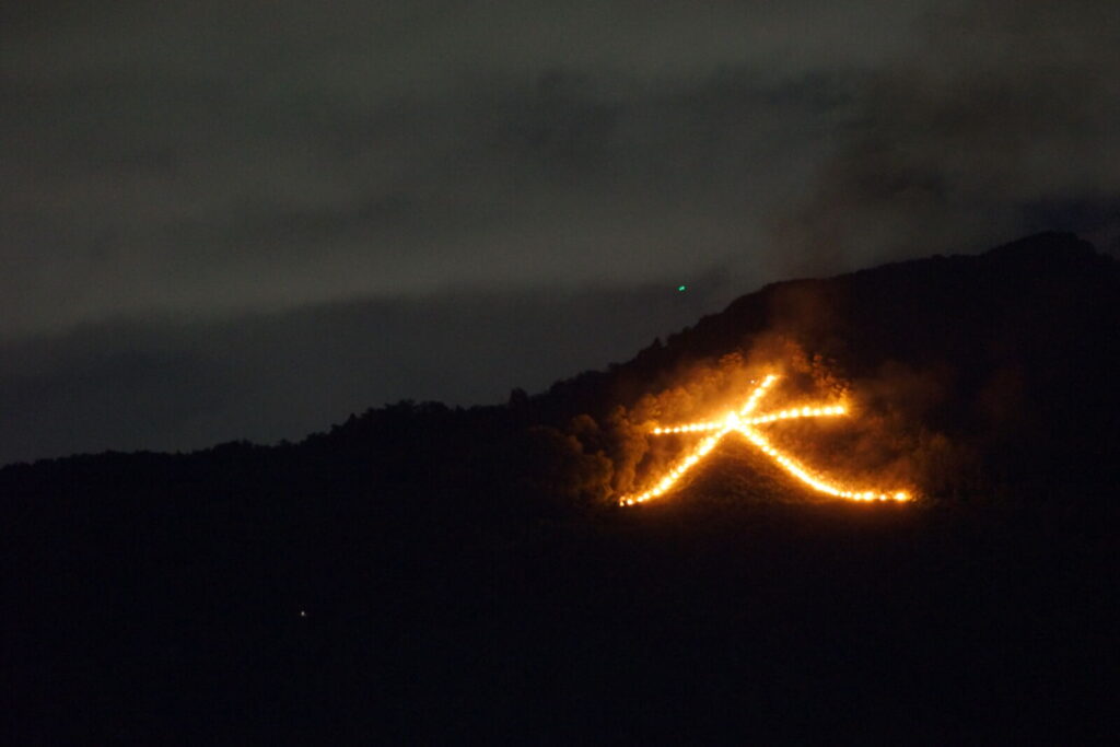
Mount Daimonji, also known as Nyoigatake, is one of Kyoto's most recognizable and beloved mountain viewpoints.
Part of the Higashiyama Mountain Range, it is famous for the enormous character 大 (Dai, meaning "great") carved into its mountainside, which is illuminated every August 16 during Kyoto's traditional Gozan no Okuribi festival. This centuries-old Buddhist ceremony involves lighting enormous bonfires across five surrounding mountains to guide ancestral spirits back to the afterlife.
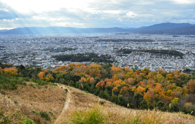
The mountain is also a popular hiking destination, offering spectacular panoramic views of Kyoto's historic cityscape, surrounding mountains, and, on exceptionally clear days, distant peaks.
55) Mount Hiei (比叡山)
- Location: Kyoto/Shiga Prefectures
- Elevation: 848 m (2,783 ft)
- Parent Range: Hira Mountains
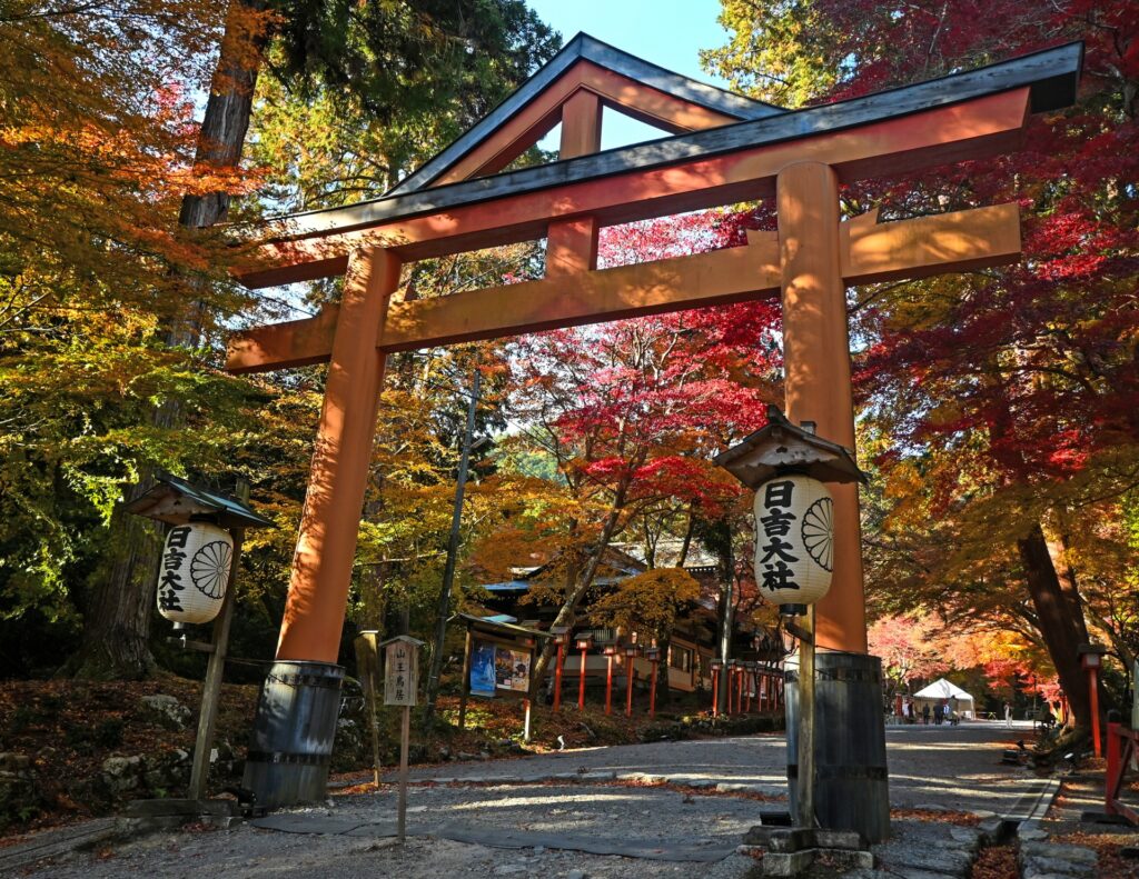
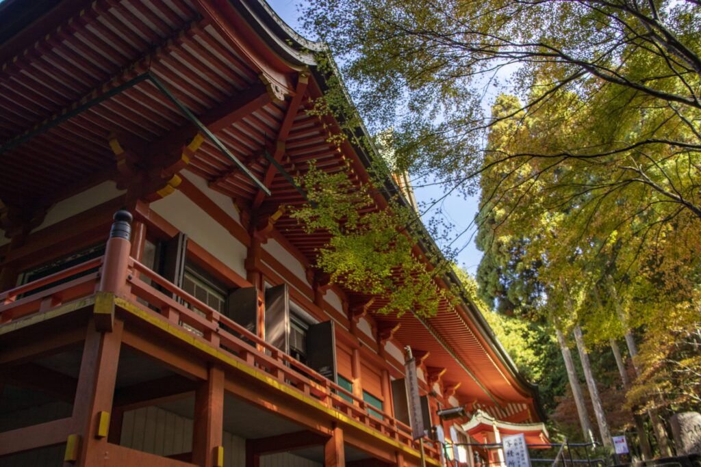
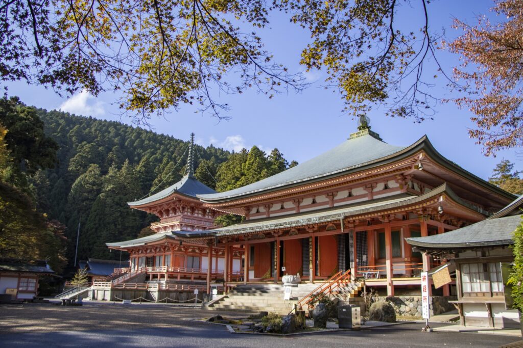
Mount Hiei is best known as the home of Enryaku-ji Temple, a UNESCO World Heritage Site founded in 788 by the Buddhist monk Saicho. Considered one of the most important centres of Japanese Buddhism, the extensive temple complex is spread across the mountain's forested slopes and divided into three principal areas: Todo, Saito and Yokawa.
Access to the mountain is especially convenient thanks to two cable car routes. From Kyoto, the Eizan Cable Car and Eizan Ropeway transport visitors from Yase towards the summit area. From Shiga, the Sakamoto Cable Car, Japan's longest cable railway at approximately 2 kilometres, provides another scenic route up the mountain.
56) Mount Horai (蓬莱山)
- Location: Shiga Prefecture
- Elevation: 1,174 m (3,852 ft)
- Parent Range: Hira Mountains
- Listing: “300 Famous Japanese Mountains”
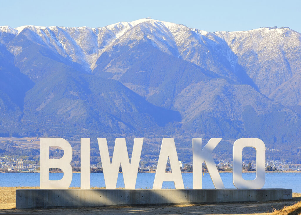
Overlooking the western shore of Lake Biwa in Shiga Prefecture, Mount Horai is a popular destination for hikers, sightseers and winter sports enthusiasts, offering magnificent panoramic views across Japan's largest freshwater lake and the surrounding countryside.
The mountain is home to Biwako Valley, a popular mountain resort. Visitors can reach the upper mountain area aboard the Biwako Valley Ropeway, a five-minute journey in large glass-sided gondolas departing from the lakeside foothills. From the ropeway's upper station on neighboring Mount Uchimi (1,108 meters), two sightseeing lifts provide access to Mount Horai's summit and the impressive Café 360 observation terrace.
57) Mount Ibuki (伊吹山)
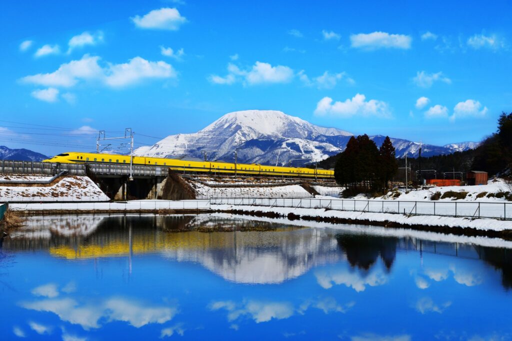
- Location: Gifu/Shiga Prefectures
- Elevation: 1,377 m (4,518 ft)
- Parent Range: Ibuki Mountain Range
- Listing: “100 Famous Mountains of Japan”
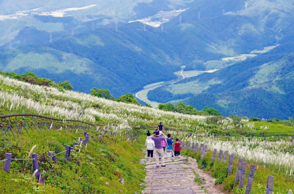
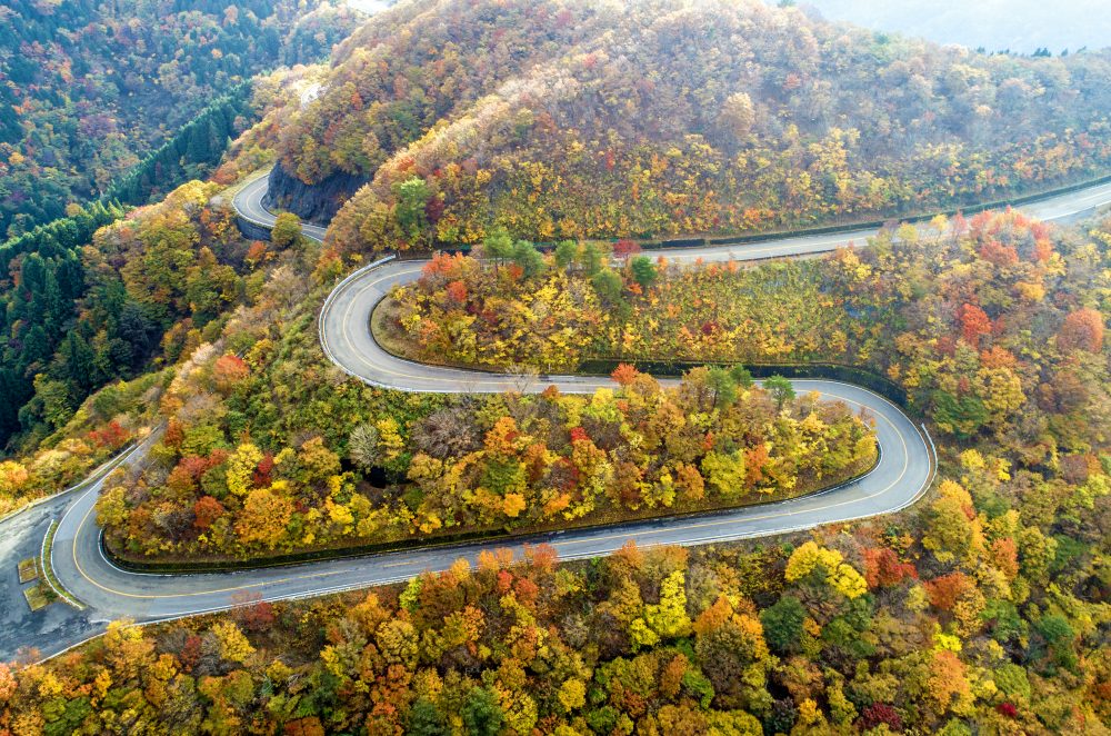
Mount Ibuki, also known as Ibuki-yama, is a prominent mountain straddling the border of Shiga and Gifu Prefectures in central Japan. Rising to 1,377 meters, it is the highest peak in Shiga Prefecture and one of the country's most celebrated mountains. Renowned for its distinctive broad summit, seasonal alpine flower fields, and exceptional biodiversity, Mount Ibuki offers spectacular panoramic views of Lake Biwa, the Nōbi Plains, the Japanese Alps, and Ise Bay. Its summit grasslands are designated a National Natural Monument and are home to numerous rare and endemic plant species.
Beyond its natural beauty, Mount Ibuki has a rich history of spiritual and cultural significance. Mentioned in the ancient Japanese chronicles Kojiki and Nihon Shoki, the mountain is associated with the legendary hero Yamato Takeru and has been revered as a sacred mountain for centuries. It was also recognized as one of the Seven Great Mountains of Shugendō during the Heian period, attracting Buddhist ascetics and mountain practitioners.
58) Mount Inari (稲荷山)
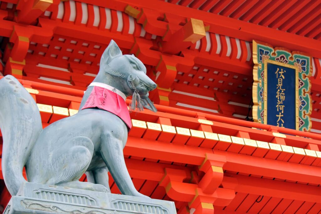
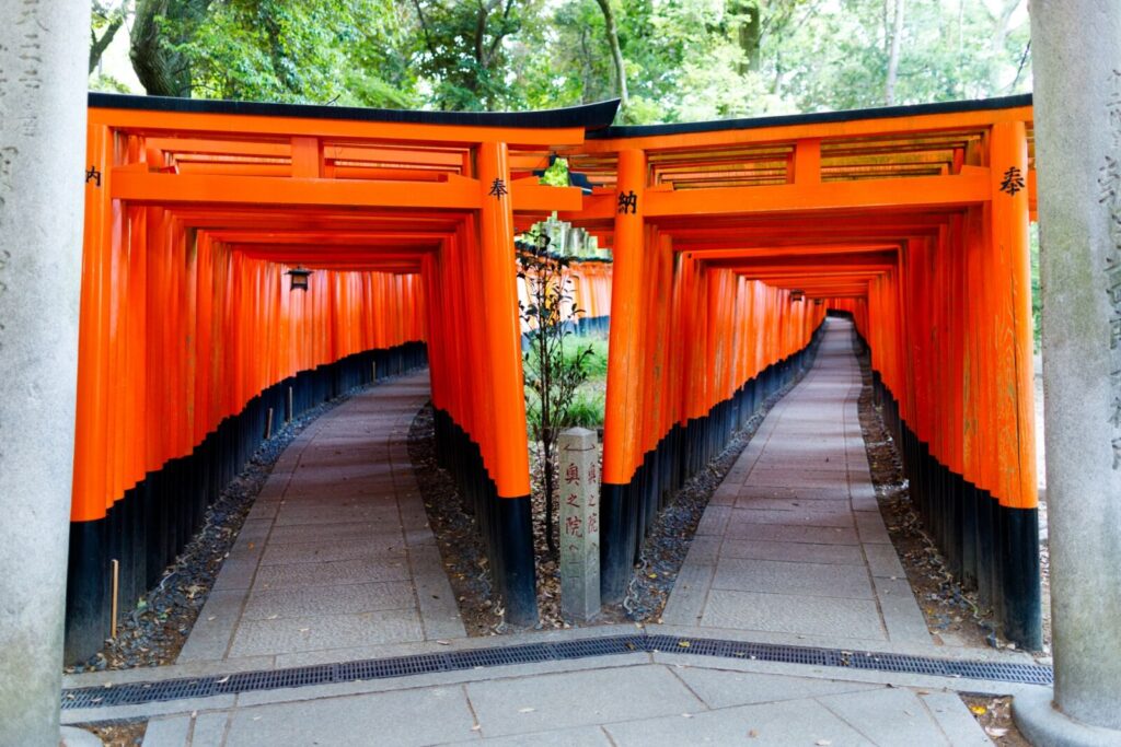
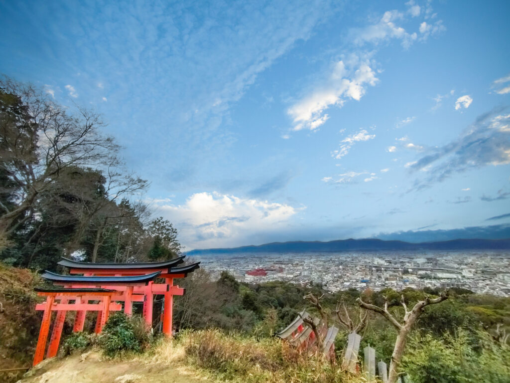
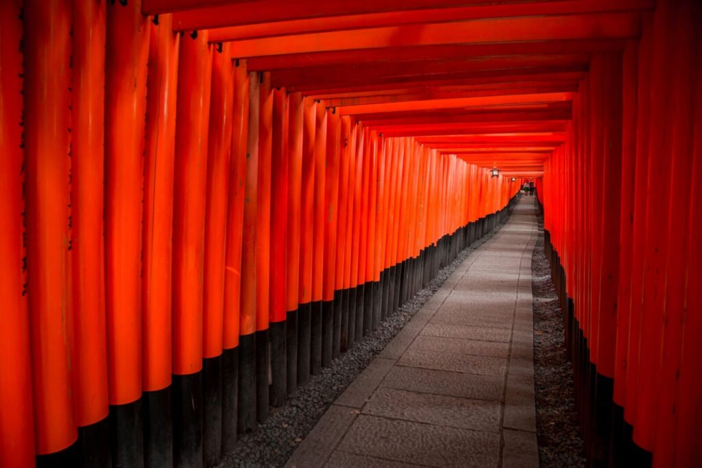
- Location: Kyoto Prefecture
- Elevation: 233 m (764 ft)
- Parent Range: Higashiyama Mountains
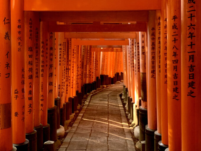
Mount Inari (稲荷山) is best known as the home of Fushimi Inari Taisha, one of Japan's most celebrated Shinto shrines.
Rising to only 233 metres, it is the southernmost of the 36 peaks of the Higashiyama mountain group and has been an important centre of mountain worship for more than 1,300 years. The shrine was traditionally established in 711 and is dedicated to Inari, the Shinto deity associated with rice, agriculture and prosperity.
A circular hiking route takes visitors around the mountain, covering approximately four kilometres and requiring around two to three hours to complete. One of the best viewpoints is Yotsutsuji, where hikers can enjoy impressive views across Kyoto.
Though there are no ropeways, cable cars or ski resorts on Mount Inari, access is exceptionally convenient, with JR Inari Station directly opposite the shrine's main entrance and Keihan Fushimi-Inari Station a short walk away.
59) Mount Koya (高野山)


- Location: Wakayama Prefecture
- Elevation: 1,000 m (3,281 ft)
- Parent Range: Kii Mountains
- Listing: UNESCO World Heritage Site
Mount Koya (高野山), also known as Koyasan, is one of Japan's most important Buddhist centers, situated in a secluded mountain basin in northern Wakayama Prefecture. Unlike a conventional mountain with a single summit, Koyasan refers to an elevated plateau surrounded by peaks exceeding 1,000 metres.
The area is particularly famous as the spiritual headquarters of Shingon Buddhism, established in 816 by the revered Buddhist monk Kukai, also known as Kobo Daishi. The mountain is home to more than 100 temples, many of which offer traditional temple lodging (shukubo), allowing visitors to experience Buddhist vegetarian cuisine, meditation and morning prayer ceremonies. Its most important landmarks include Kongobu-ji Temple, the magnificent Danjo Garan temple complex and Okunoin Cemetery, where a peaceful pathway winds through an ancient cedar forest to Kukai's mausoleum.

60) Mount Maya (摩耶山)
- Location: Hyogo Prefecture
- Elevation: 702 m (2,303 ft)
- Parent Range: Rokko Mountains
- Listing: “Three Night Views of Japan”
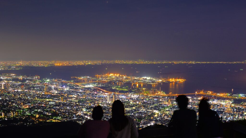
Mount Maya, also known as Maya-san, is a picturesque mountain overlooking Kobe City in Hyogo Prefecture. Rising to 702 meters, it forms part of the Rokko Mountain Range and is internationally celebrated for its spectacular nighttime panoramas.
Its most famous attraction is Kikuseidai, an observation platform near the summit whose name translates to "Star Scoop Platform." From here, visitors can enjoy breathtaking views across the illuminated streets of Kobe, Osaka Bay, the Osaka Plain, and, on clear nights, as far as Kansai International Airport and the distant Kii Peninsula.
Mount Maya is particularly renowned for its place among Japan's Three Great Night Views, alongside Mount Hakodate in Hokkaido and Mount Inasa in Nagasaki. Accessible via the Maya Cable Car and Ropeway, the mountain also features lush forests, hiking trails, historic temples, and beautiful seasonal scenery.
61) Mount Minoh (箕面山)

- Location: Osaka Prefecture
- Elevation: 355 m (1,165 ft)
- Parent Range: Hokusetsu Mountain Range
- Listing: “National Place of Scenic Beauty”
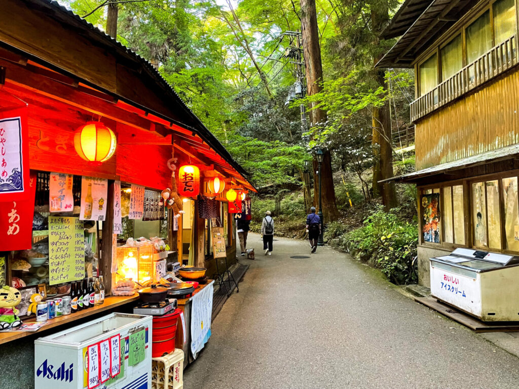
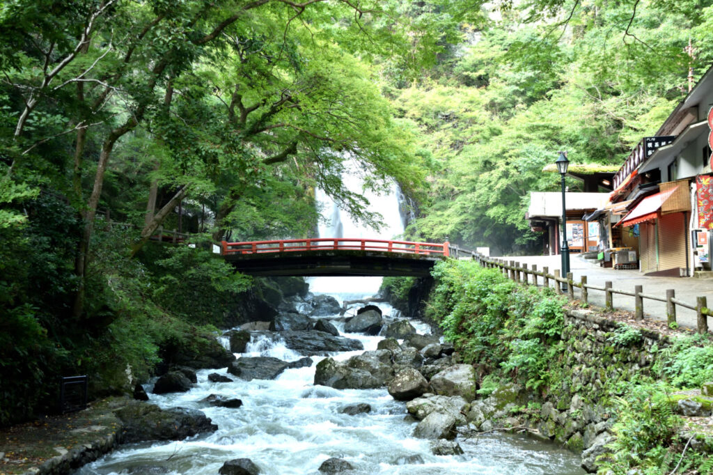
Mount Minoh (箕面山) is a picturesque low mountain in northern Osaka Prefecture, situated within Meiji no Mori Minoh Quasi-National Park. Rising to 355 metres, it is particularly popular for its beautiful forested slopes, peaceful hiking trails and spectacular autumn foliage. Although relatively modest in height, the mountain offers a welcome escape from the nearby urban environment and is one of Osaka's best-known nature destinations.
The mountain's most famous attraction is Minoh Falls (箕面大滝), an impressive 33-metre waterfall recognised as one of Japan's 100 best waterfalls. A scenic walking trail follows the Minoh River through a wooded gorge, passing traditional temples, bridges and picturesque viewpoints. The approximately 2.8-kilometre walk from Minoh Station to the waterfall takes around 40–50 minutes.
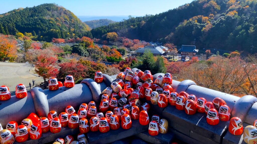
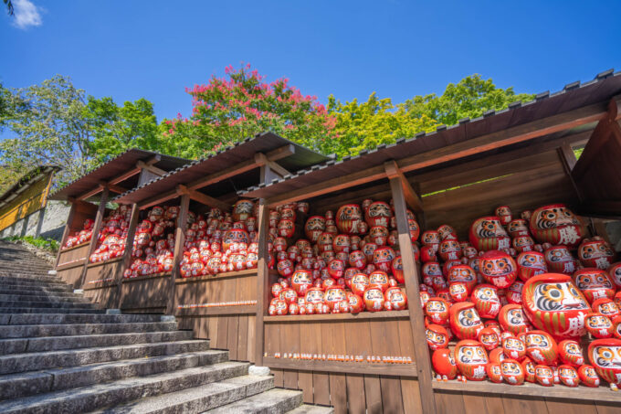
Another important landmark is Ryuan-ji Temple (瀧安寺), a historic Buddhist temple associated with the origins of Japanese mountain asceticism. Nearby Katsuo-ji Temple is also worth visiting, particularly for its thousands of red Daruma dolls.
62) Mount Nachi (那智山)
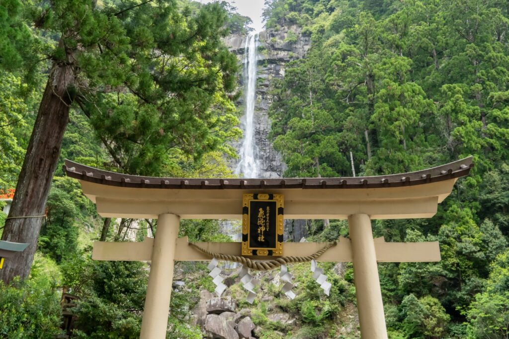
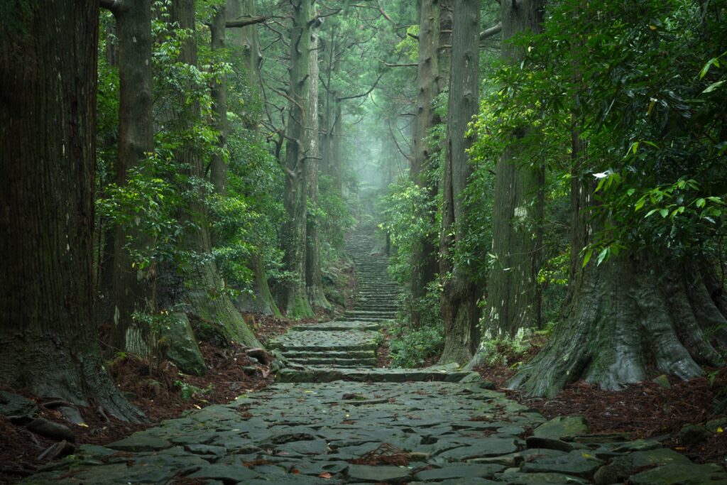

- Location: Wakayama Prefecture
- Elevation: 749 m (2,457 ft)
- Parent Range: Kii Mountains
- Listing: UNESCO World Heritage Site
Mount Nachi (那智山) is a historically and spiritually significant mountain in southeastern Wakayama Prefecture, forming part of the rugged Kii Mountain Range. Renowned for its ancient forests, sacred pilgrimage routes and spectacular waterfalls, it is one of Japan's most important destinations for religious tourism and nature enthusiasts.
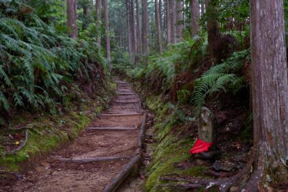
Mount Nachi is best known for its connection to the ancient spiritual traditions of Kumano and the worship of nature.
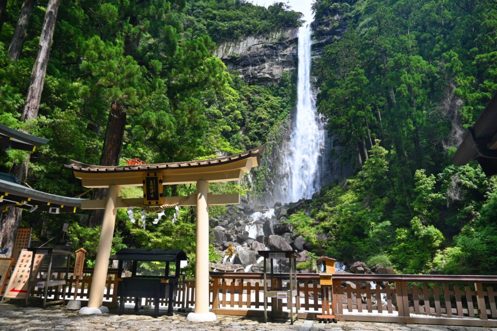
The mountain's most famous attraction is Nachi Falls (那智大滝), an extraordinary 133-meter waterfall considered Japan's tallest single uninterrupted waterfall. Its cascading waters have been worshipped as a deity for centuries.
Nearby, Kumano Nachi Taisha, one of the three great Kumano shrines, and Seiganto-ji Temple, with its iconic three-storey vermilion pagoda, create one of Japan's most recognizable landscapes.
63) Mount Ōmine (大峰山)
- Location: Nara Prefecture
- Elevation: 1,915 m (6,283 ft)
- Parent Range: Kii Mountains
- Listing: “100 Famous Mountains of Japan”, “Seven Sacred Mountains of Japan”
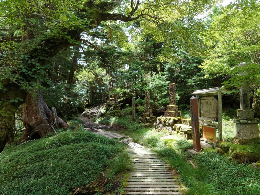
Mount Ōmine, also known as Ōmine-san, is a mountain range in southern Nara Prefecture and one of Japan's most important centers of religious mountain worship. Stretching across the rugged Kii Peninsula, the range reaches a maximum elevation of 1,915 meters at Mount Hakkyo-ga-take, the highest summit in the Kinki region. Its dramatic ridge lines, densely forested slopes, rocky summits, and secluded valleys create an impressive landscape of natural beauty and spiritual significance.
Mount Ōmine has been a major centre of Shugendō, a uniquely Japanese spiritual tradition combining Buddhist, Shinto, and mountain-worship practices, for more than 1,300 years. The sacred Mount Sanjō-ga-take, home to Ōminesanji Temple, serves as an important pilgrimage destination and training ground for yamabushi mountain ascetics.
The surrounding mountains are traversed by the historic Ōmine Okugakemichi pilgrimage route, which connects Yoshino with the sacred Kumano region and is recognized as part of the UNESCO World Heritage property Sacred Sites and Pilgrimage Routes in the Kii Mountain Range.
64) Mount Rokko (六甲山)
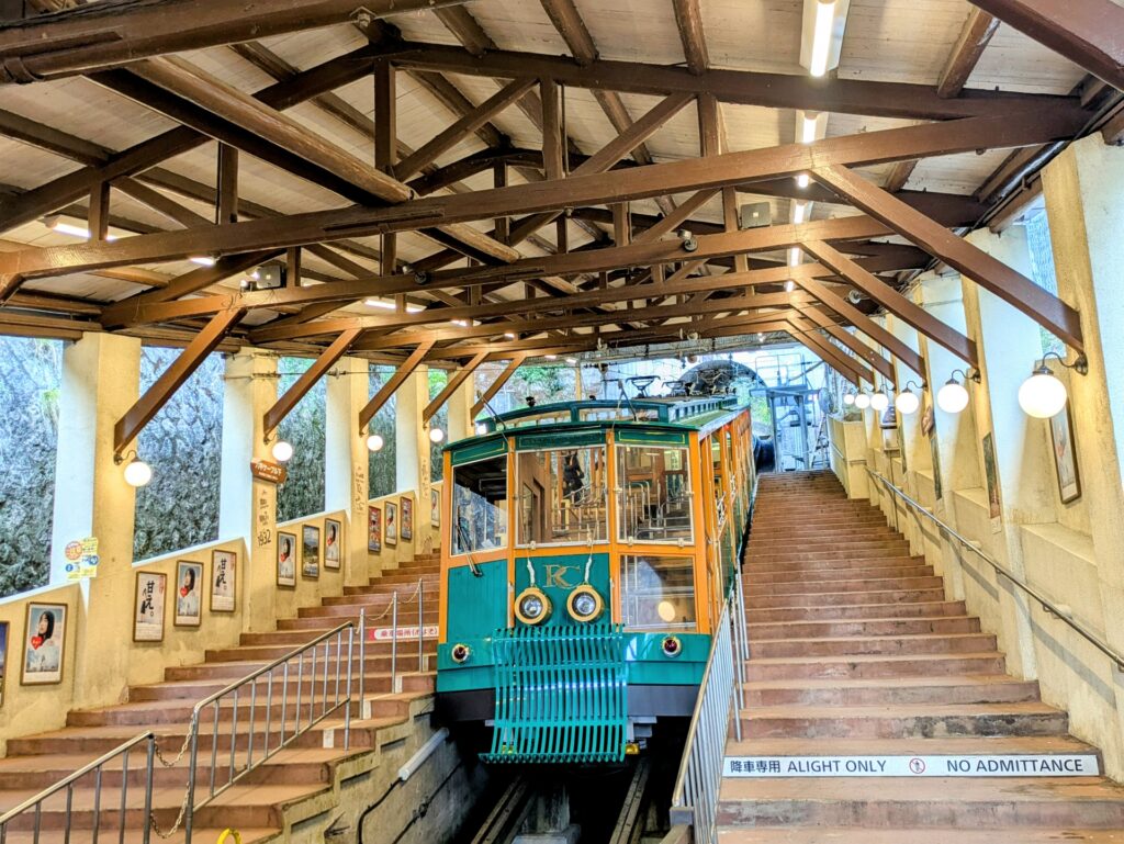
- Location: Hyogo Prefecture
- Elevation: 931.3 metres (3,055 feet)
- Parent Range: Rokko Mountains
- Listing: “New 100 Famous Mountains of Japan”
Mount Rokko (六甲山) is a celebrated mountain destination overlooking Kobe and Osaka Bay in southeastern Hyogo Prefecture. Although commonly referred to as a single mountain, Rokko is actually an extensive mountain range stretching approximately 30 kilometres across the region. Its highest point, Rokko-Saikoho, reaches 931.3 metres and offers spectacular views across Kobe, Osaka and the surrounding coastline. The mountain is part of Setonaikai National Park and is renowned for its combination of natural beauty, outdoor recreation and historic attractions.
One of the easiest ways to reach the mountain is aboard the Rokko Cable Car, which connects Rokko Cable Shita Station with the upper mountain in approximately ten minutes. Alternatively, the Rokko-Arima Ropeway provides a scenic 12-minute journey between the mountain and the famous Arima Onsen hot spring resort.
65) Mount Shakagatake (釈迦ヶ岳)
- Location: Nara Prefecture
- Elevation: 1,799 m (5,902 ft)
- Parent Range: Kii Mountains
- Listing: , “Seven Sacred Mountains of Japan”
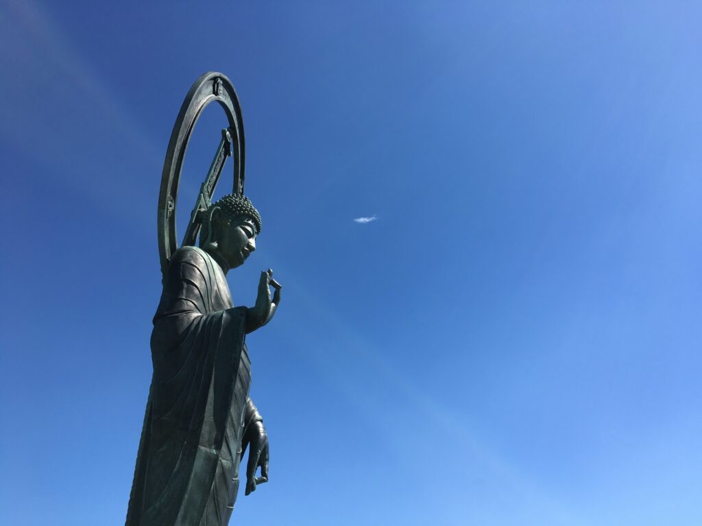
Mount Shakagatake, also known as Shaka-ga-take, is located in southern Nara Prefecture, situated along the border of Totsukawa and Shimokitayama villages. It is renowned for its distinctive summit crowned by a bronze statue of Shaka Nyorai (Gautama Buddha). The statue, weighing approximately 130 kilograms, was carried to the summit by mountaineer Masayuki Okada in 1924, becoming an enduring symbol of the mountain's spiritual significance.
Mount Shakagatake forms part of the historic Ōmine Okugakemichi pilgrimage route, an ancient mountain trail connecting Yoshino with the sacred Kumano region. For centuries, this challenging route has served as a training ground for yamabushi, practitioners of Shugendō, a Japanese spiritual tradition combining Buddhist teachings and mountain asceticism.
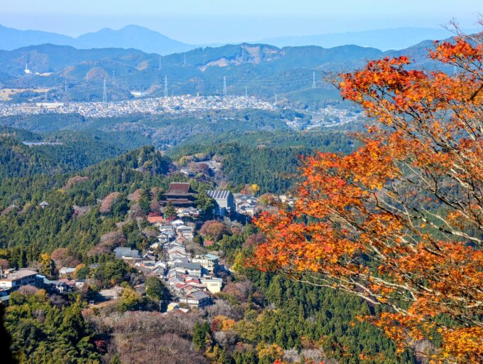
66) Mount Yoshino (吉野山)


- Location: Nara Prefecture
- Elevation: 690 m (2,264 ft)
- Parent Range: Kii Mountains
- Listing: UNESCO World Heritage Site – “Sacred Sites and Pilgrimage Routes in the Kii Mountain Range”
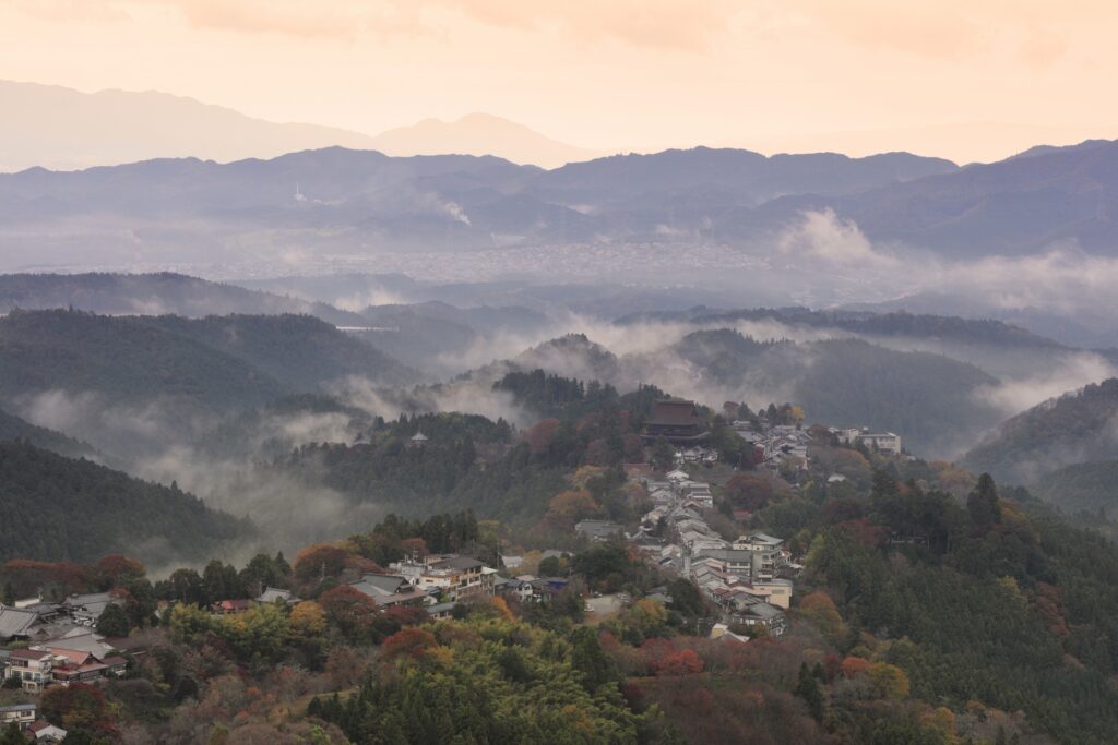
Mount Yoshino, also known as Yoshinoyama, is one of Japan's most celebrated scenic destinations, especially in spring. Rising to approximately 690 metres, it forms the northernmost section of the Ōmine Mountain Range of the Kii Mountains and consists of an approximately eight-kilometre-long ridgeline overlooking the Yoshino River.
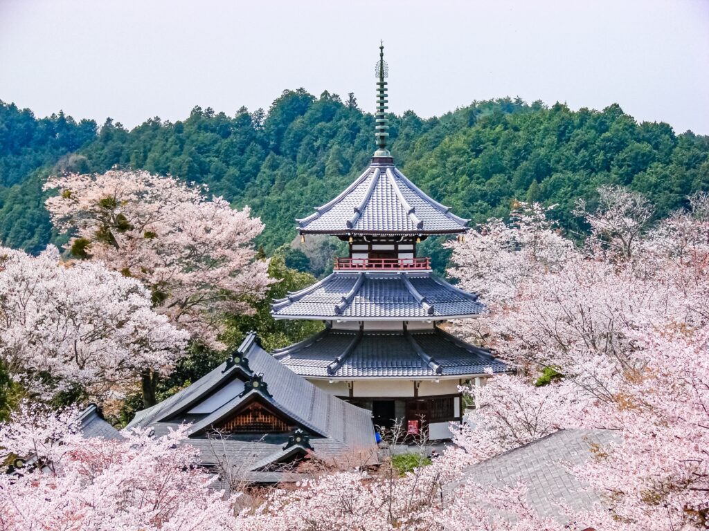
The mountain is internationally renowned for its spectacular cherry blossoms, with approximately 30,000 cherry trees of around 200 varieties covering its slopes. Divided into four famous viewing areas—Shimo-senbon, Naka-senbon, Kami-senbon, and Oku-senbon—the blossoms gradually flower from the lower slopes toward the higher elevations, creating an extended springtime display.
Beyond its natural beauty, Mount Yoshino is one of Japan's most important centres of Shugendō, a spiritual tradition combining Buddhist teachings and mountain asceticism. The mountain is home to the historic Kinpusenji Temple, whose Zao Hall is among Japan's largest wooden religious structures.
Fun Fact: Yoshino also served as the stronghold of Japan's Southern Imperial Court during the Nanboku-chō period.
Small Group
Day Tour From Osaka: Nara-Yoshino's Mystical Mountains, Changing Seasons and Magical Past
Chugoku (Hiroshima, Okayama, Shimane, Tottori, Yamaguchi)
67) Mount Daisen (Oyama) (大山)
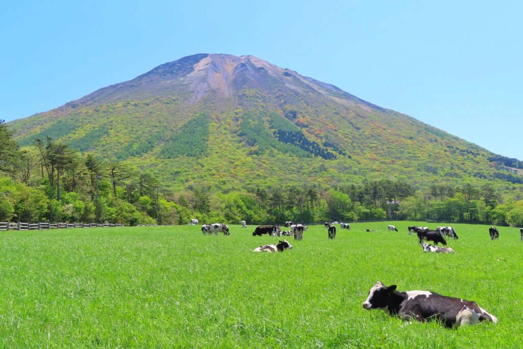
- Location: Tottori Prefecture
- Elevation: 1,729 m (5,673 ft)
- Parent Range: Chūgoku Mountains
- Listing: “100 Famous Mountains of Japan”, “Seven Sacred Mountains of Japan”, “Top 10 Mountaintop Views”
Mount Daisen, also known as Daisen or Hōki-Daisen, is the highest peak in Japan's Chūgoku region. Rising to 1,729 metres, it is often nicknamed Hōki Fuji because its silhouette resembles Mount Fuji when viewed from the west.
Daisen is renowned for its dramatic rocky northern cliffs, lush beech forests, alpine vegetation, and sweeping panoramic views of the Sea of Japan and surrounding countryside.
Beyond its natural beauty, Mount Daisen holds tremendous spiritual and historical significance. Worshipped as a sacred mountain for centuries, it was an important centre of Buddhist practice and mountain asceticism, with the historic Daisenji Temple and Ogamiyama Shrine situated along its wooded slopes.
68) Mount Jakuchi (寂地山)
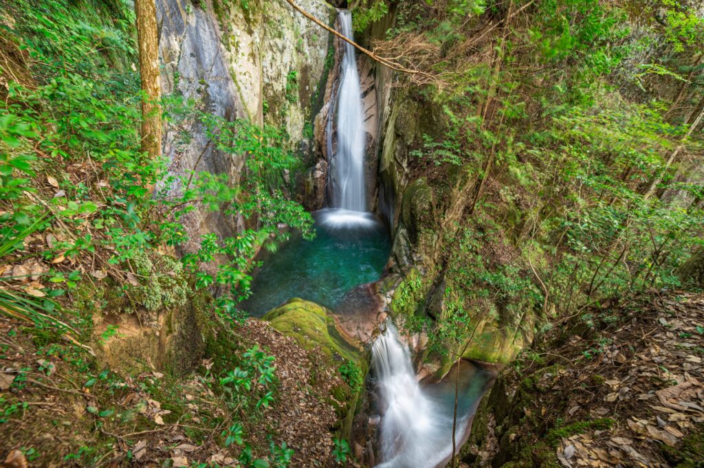
- Location: Yamaguchi/Shimane Prefectures
- Elevation: 1,337 m (4,386 ft)
- Parent Range: Chūgoku Mountains
- Listing: “Chūgoku 100 Famous Mountains”
Mount Jakuchi is the highest mountain in Yamaguchi Prefecture and a beautiful wilderness destination in the western Chūgoku Mountains of Japan. Situated along the border between Yamaguchi and Shimane prefectures, the mountain is renowned for its extensive beech forests, pristine streams, and rich seasonal flora. It forms part of the Nishichūgoku Sanchi Quasi-National Park, an area celebrated for its rugged landscapes and natural beauty.
One of the area's major attractions is Jakuchikyo Gorge, located at the mountain's base. Its famous Five Dragon Falls (Goryū no Taki), a collection of waterfalls recognized among Japan's 100 Best Waterfalls, provide a memorable excursion. Nearby attractions include the ancient giant cedar at Usa Hachimangu Shrine.
69) Mount Misen (弥山)

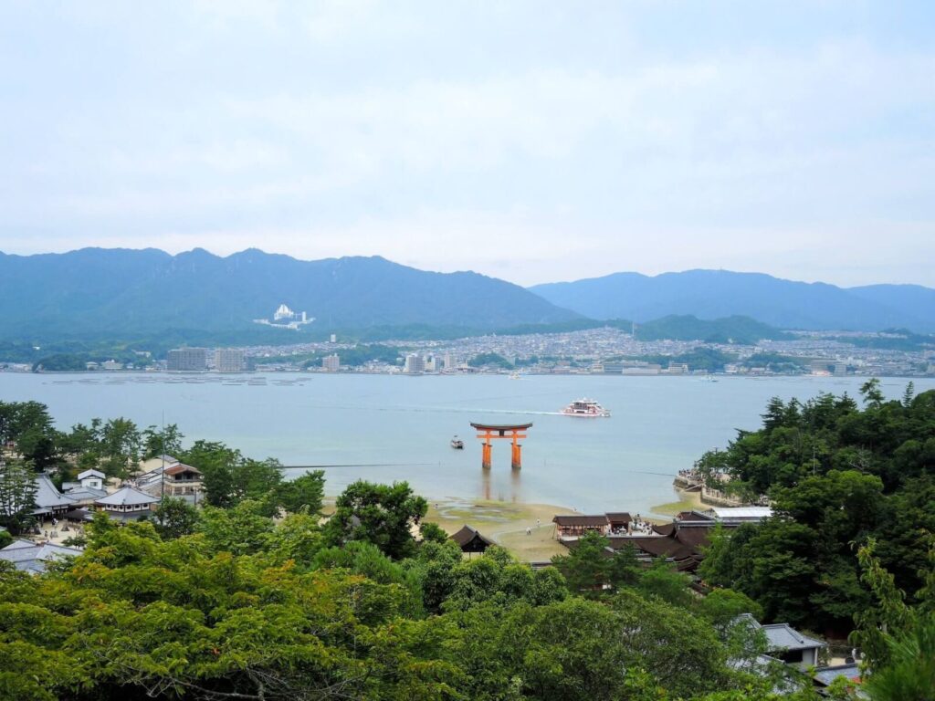

- Location: Hiroshima Prefecture
- Elevation: 535 m (1,755 ft)
- Parent Range: Chūgoku Mountains
- Listing: UNESCO World Heritage-associated natural area (Misen Primeval Forest)
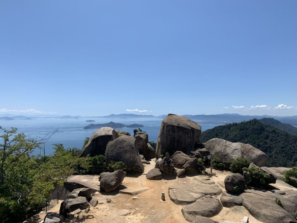
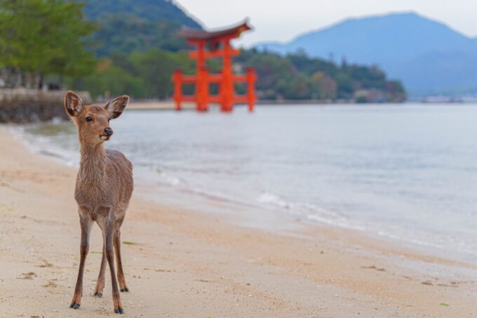
Overlooking the Seto Inland Sea, Mount Misen is renowned for its spectacular panoramic views, ancient forests, unusual rock formations, and deep spiritual significance.
Its primeval forest, containing a remarkable variety of native vegetation, is designated a natural monument and forms part of the wider UNESCO World Heritage landscape associated with Itsukushima Shrine. The summit observatory offers magnificent 360-degree views across the islands of the Seto Inland Sea, with Shikoku visible on particularly clear days.
For travelers wishing to avoid the full ascent, the
Miyajima Ropeway provides a scenic ride from Momijidani Park to Shishiiwa Station. From there, the summit requires approximately another 30 minutes of uphill walking. Alternatively, three established hiking routes—Momijidani, Daishōin, and Ōmoto—offer rewarding climbs, generally taking 1.5–2.5 hours.
70) Mount Mitoku (三徳山)
- Location: Tottori Prefecture
- Elevation: 899.7 m (2,952 ft)
- Parent Range: Chūgoku Mountains
- Listing: Three Sacred Mountains of Hōki; Japan Heritage Site (Mount Mitoku and Misasa Onsen)
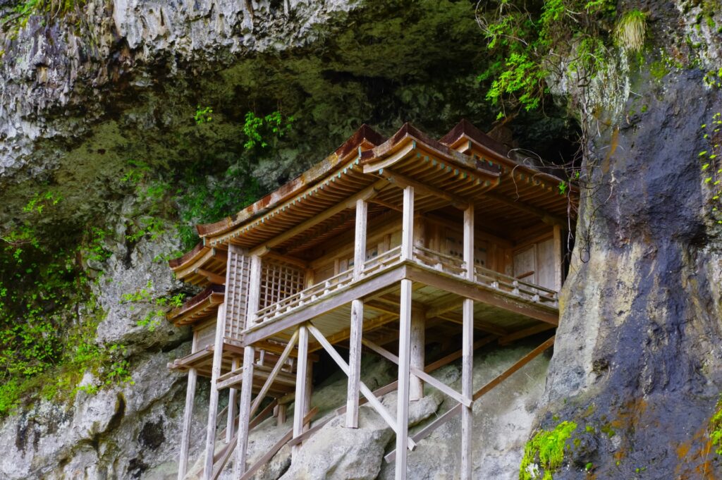
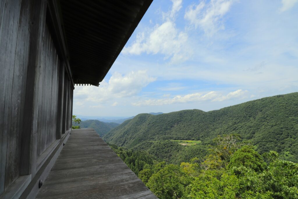
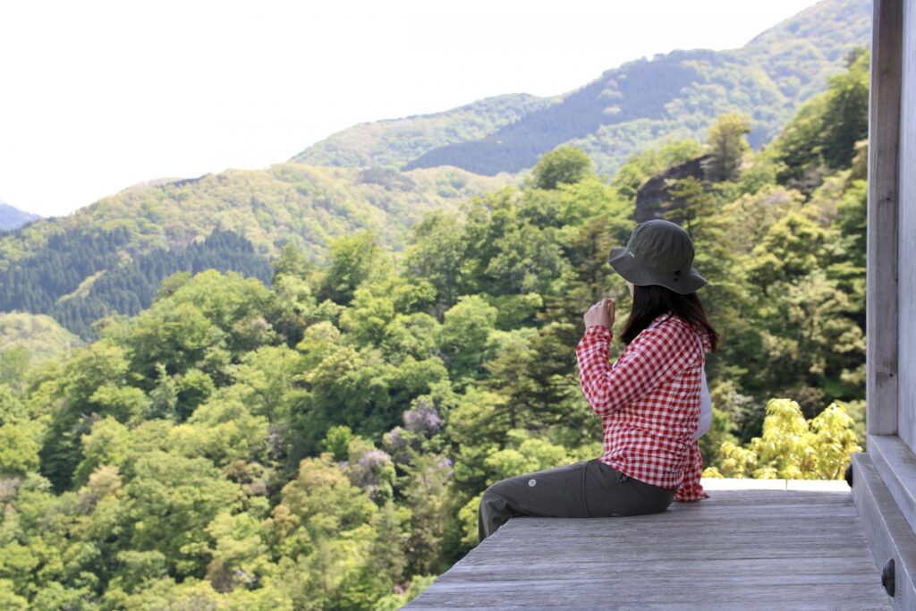
Mount Mitoku has been revered for more than 1,300 years as a center of Shugendō, a Japanese mountain ascetic tradition, the mountain is home to the historic Sanbutsuji Temple. Founded in 706, the temple complex is one of the region's most fascinating cultural and spiritual destinations and contains Japan’s “most dangerous National Treasure” — Nageiredo Hall (投入堂).
Perched inside a natural recess on an almost vertical cliff face, the hall is more than 1,000 years old. Local legend attributes its construction to the mystical powers of En no Gyōja, the legendary founder of Shugendō.
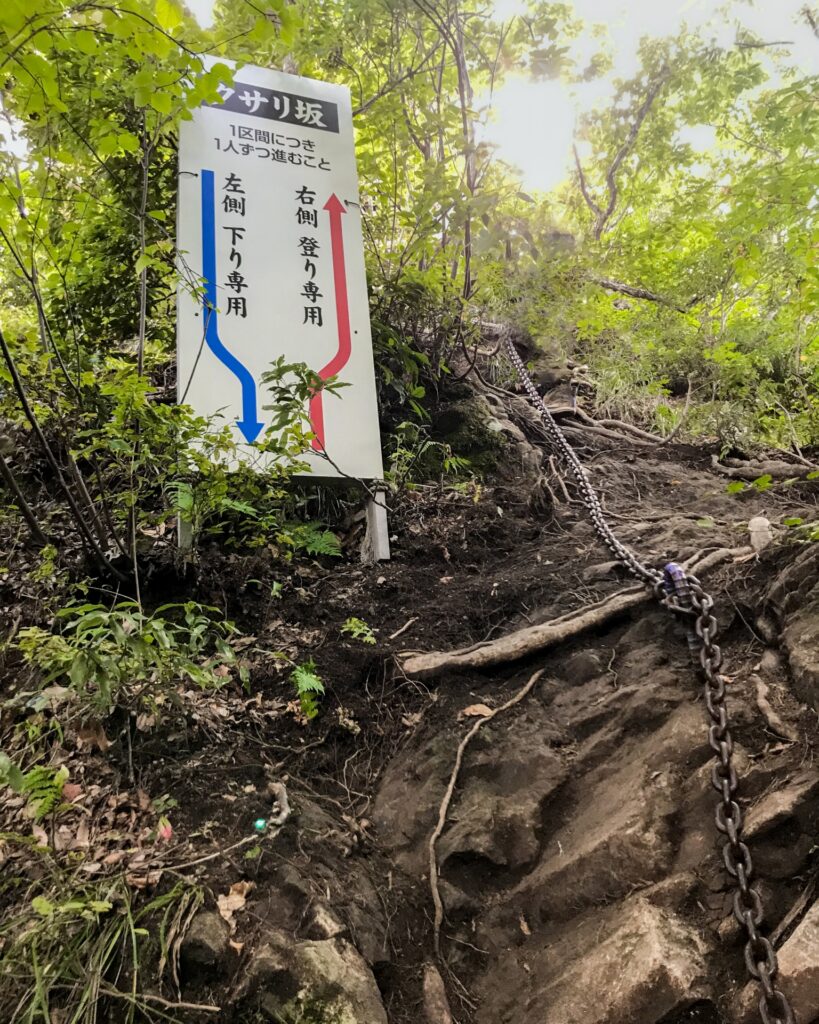
Reaching Nageiredo is an adventure in itself. The challenging pilgrimage trail involves steep rocky slopes, narrow passages, chains, and exposed sections, making it one of Japan's more unusual temple visits. The round-trip climb generally takes 1.5–2 hours. Visitors must climb in groups of at least two and wear suitable nonslip footwear. Access is prohibited during winter and adverse weather conditions.
71) Mount Noro (野呂山)
- Location: Hiroshima Prefecture
- Elevation: 839 m (2,753 ft)
- Parent Range: Chūgoku Mountains
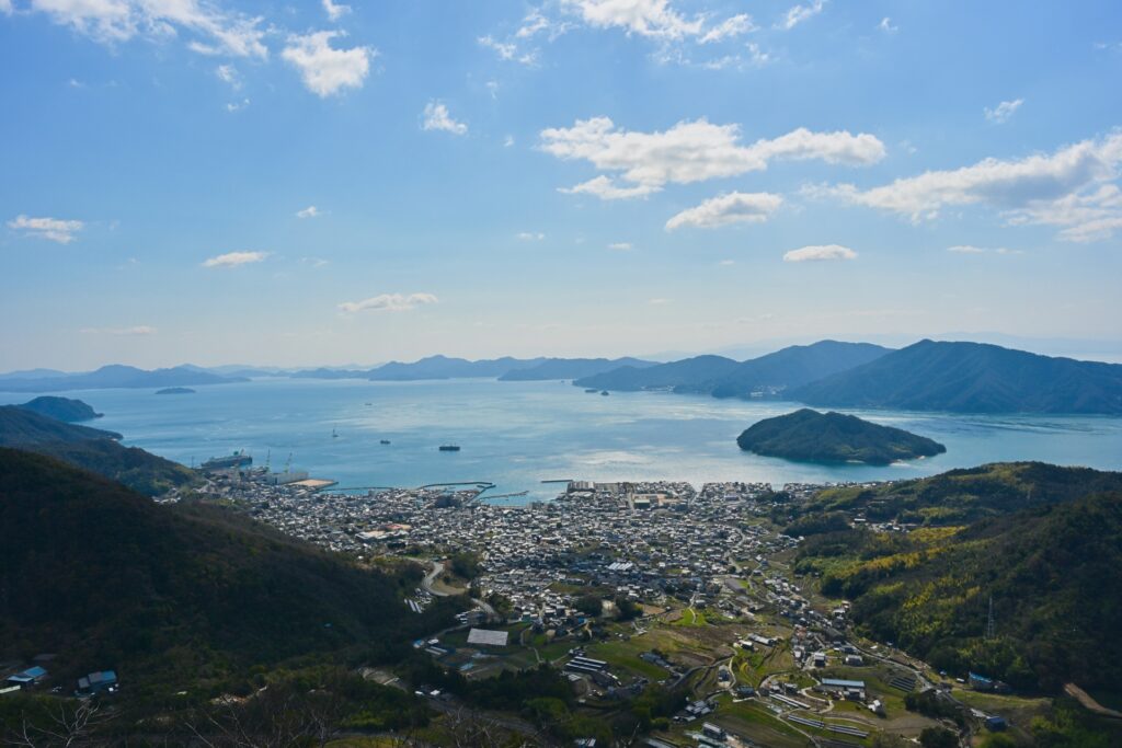
Mt. Noro is a prominent mountain in Kure, Hiroshima Prefecture, overlooking the beautiful islands and coastal scenery of the Seto Inland Sea.
Located within Setonaikai National Park, Mount Noro is actually a broad, elevated plateau formed by two principal peaks, Mount Zendana and Mount Kōbōji.
The Kabutoiwa Observatory (かぶと岩展望台) atop the mountain provides sweeping views across the Seto Inland Sea and its many islands. On exceptionally clear days, the distant Shikoku Mountains can also be seen.

72) Mount Sanbe (三瓶山)
- Location: Shimane Prefecture
- Elevation: 1,126 m (3,694 ft)
- Parent Range: isolated mountain
- Listing: “100 Famous Mountains of Chūgoku”
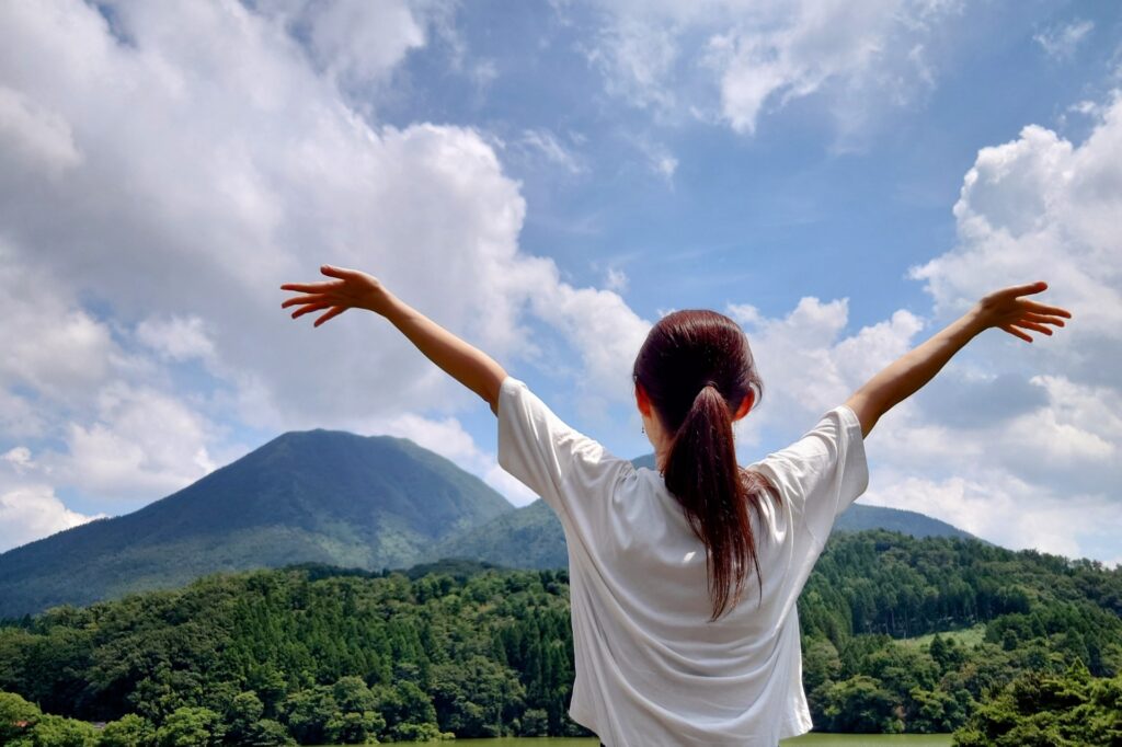
Located within Daisen-Oki National Park, this distinctive landscape consists of several peaks arranged in a circular formation around a central volcanic depression known as Muronouchi (室の内). The principal summits include Mount Osanbe, Mount Mesanbe, Mount Kosanbe, Mount Magosanbe, and Mount Taihei.
One of the mountain's most convenient attractions is the Sanbe Tourist Chairlift, operating from the Higashin no Hara area. The approximately 15-minute ride climbs toward Mount Taihei, providing beautiful views of the surrounding peaks. From the upper station, a short walk leads to an observation terrace overlooking the volcanic mountain range.
The surrounding area offers plenty of additional attractions, including Sanbe Onsen, a relaxing hot spring destination, and the Sanbe-Azukihara Buried Forest, where ancient trees preserved by volcanic deposits provide a remarkable glimpse into the landscape of approximately 4,000 years ago.
73) Mount Washu (鷲羽山)
- Location: Okayama Prefecture
- Elevation: 133 m (436 ft)
- Parent Range: Kojima Peninsula coastal hills
- Listing: “National Place of Scenic Beauty of Japan”, “National Place of Scenic Beauty of Japan”
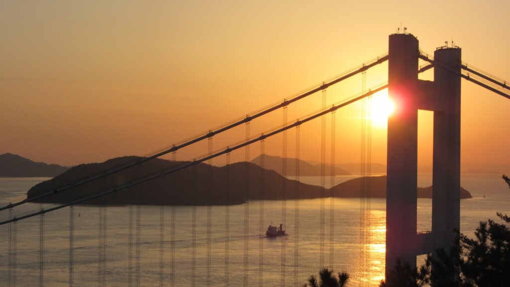
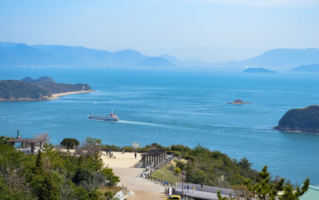
Mount Washu forms part of Setonaikai National Park, one of Japan's first national parks, established in 1934. Its name translates roughly to "Eagle's Wing Mountain," reflecting the mountain's distinctive shape, which resembles an eagle spreading its wings in flight.
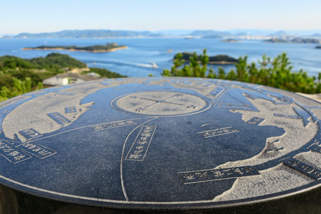
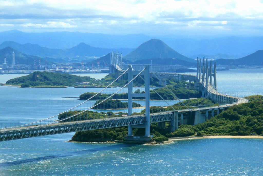
The mountain's greatest attraction is its magnificent panoramic view of the Seto Ohashi Bridge, an impressive series of bridges connecting Honshu with Shikoku. From the summit viewpoint, Shoshuho (鍾秀峰), visitors can enjoy a spectacular 360-degree panorama encompassing more than 50 islands scattered across the calm inland sea. On exceptionally clear days, the distant mountains of Shikoku are also visible. The mountain features several observation points, including the First and Second Observation Decks, connected by pleasant walking paths.
Shikoku (Ehime, Tokushima, Kochi, Kagawa)
74) Mount Bizan (眉山)
- Location: Tokushima Prefecture
- Elevation: 290 m (951 ft)
- Parent Range: isolated hill
- Listing: “Japan's celebrated night-view destinations”
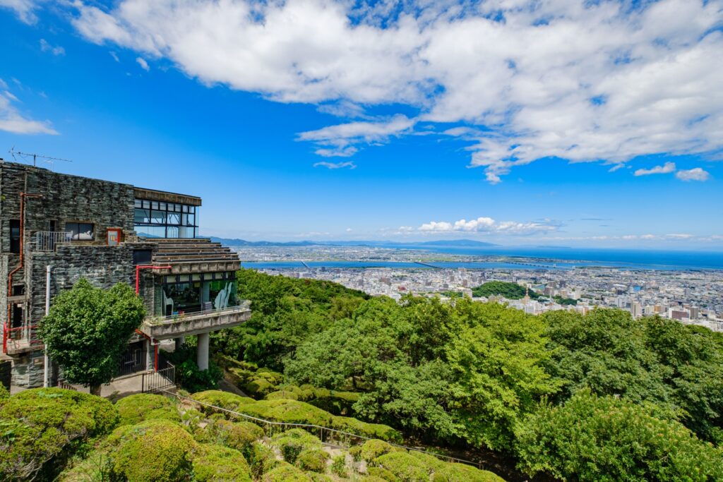
Mount Bizan’s name translates as "Eyebrow Mountain," reflecting its distinctive elongated profile, which resembles an eyebrow when viewed from different directions. Today, Bizan is one of Tokushima's most recognizable landmarks and a popular destination for sightseeing, hiking, and panoramic photography.
The summit is occupied by Bizan Park, a spacious recreational area featuring observation platforms, walking paths, memorial monuments, and landscaped gardens. From its elevated viewpoints, visitors can enjoy sweeping views across Tokushima City, the Yoshino River, and the surrounding countryside. On clear days, the panorama extends toward the Seto Inland Sea, Awaji Island, and the distant Kii Peninsula in Wakayama Prefecture. The mountain is particularly famous for its spectacular nighttime scenery, when the illuminated streets and buildings of Tokushima create an impressive urban panorama.
Fun Fact: Mount Bizan appears in the Man'yōshū, Japan's oldest surviving poetry anthology, highlighting its longstanding cultural significance
75) Mount Godai (Godaisan) (五台山)
- Location: Kochi Prefecture
- Elevation: 139 m (456 ft)
- Parent Range: isolated hill
- Listing: National Place of Scenic Beauty
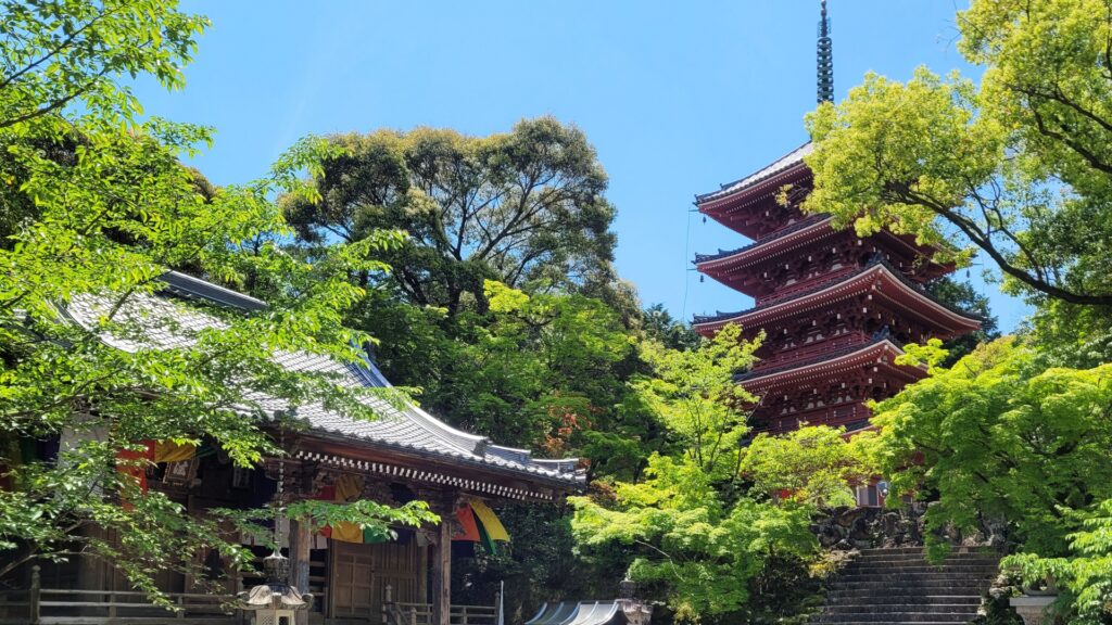
Mt. Godai is one of Kochi's most popular sightseeing destinations.
Its name, meaning "Five-Terrace Mountain," was inspired by Mount Wutai in China, a famous Buddhist pilgrimage destination associated with the bodhisattva of wisdom, Monju Bosatsu.
The mountain's most important cultural landmark is Chikurinji Temple, established in 724 and designated as Temple No. 31 on the famous Shikoku 88 Temple Pilgrimage. Its peaceful grounds feature an impressive five-storied pagoda, traditional Buddhist architecture, and a beautiful Japanese garden designated a National Place of Scenic Beauty.
76) Mount Iino (Sanuki Fuji) (飯野山・讃岐富士)
- Location: Kagawa Prefecture
- Elevation: 422 m (1,385 ft)
- Parent Range: isolated hill
- Listing: “Shikoku 100 Famous Mountains”
Mount Iino (飯野山), better known as Sanuki Fuji (讃岐富士), rises to 422 meters (1,385 feet) above the fertile Sanuki Plain in Kagawa Prefecture. Although its appearance suggests a volcanic origin, Mount Iino is not a volcano; its distinctive shape was created through geological erosion of resistant ancient rock.
Mount Iino is a popular hiking destination, with three principal routes ascending from the Marugame, Iiyama, and Sakaide sides. The well-maintained trails wind through broadleaf forests, offering occasional viewpoints across the surrounding countryside. The climb generally takes approximately one hour each way, making it an accessible excursion for families and relatively inexperienced hikers. From the summit, visitors can enjoy panoramic views of the Sanuki Plain, the distinctive rounded hills scattered across the landscape, and the islands of the Seto Inland Sea.
77) Mount Ishizuchi (石鎚山)
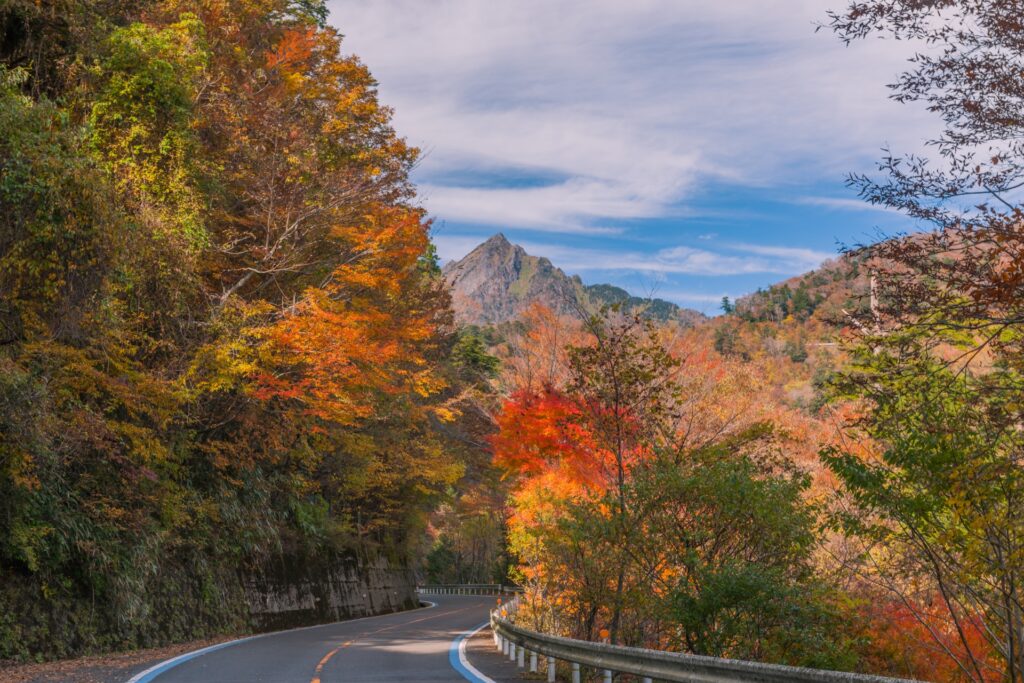
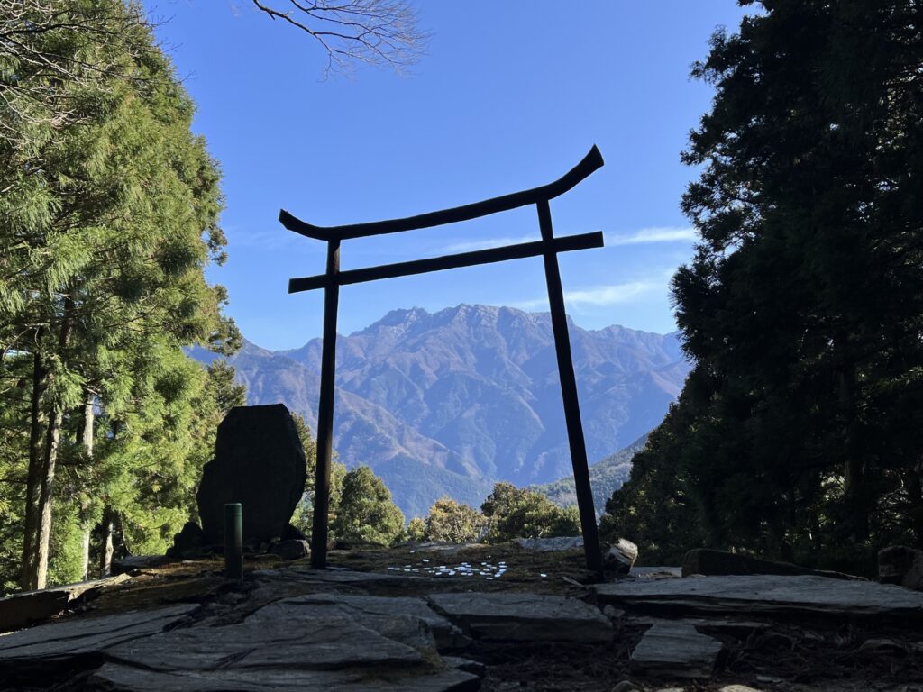
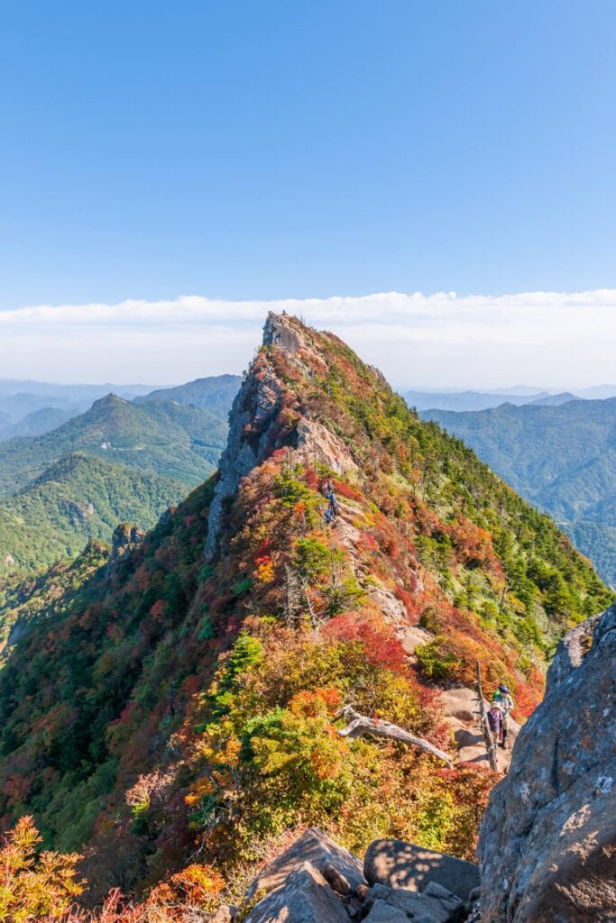
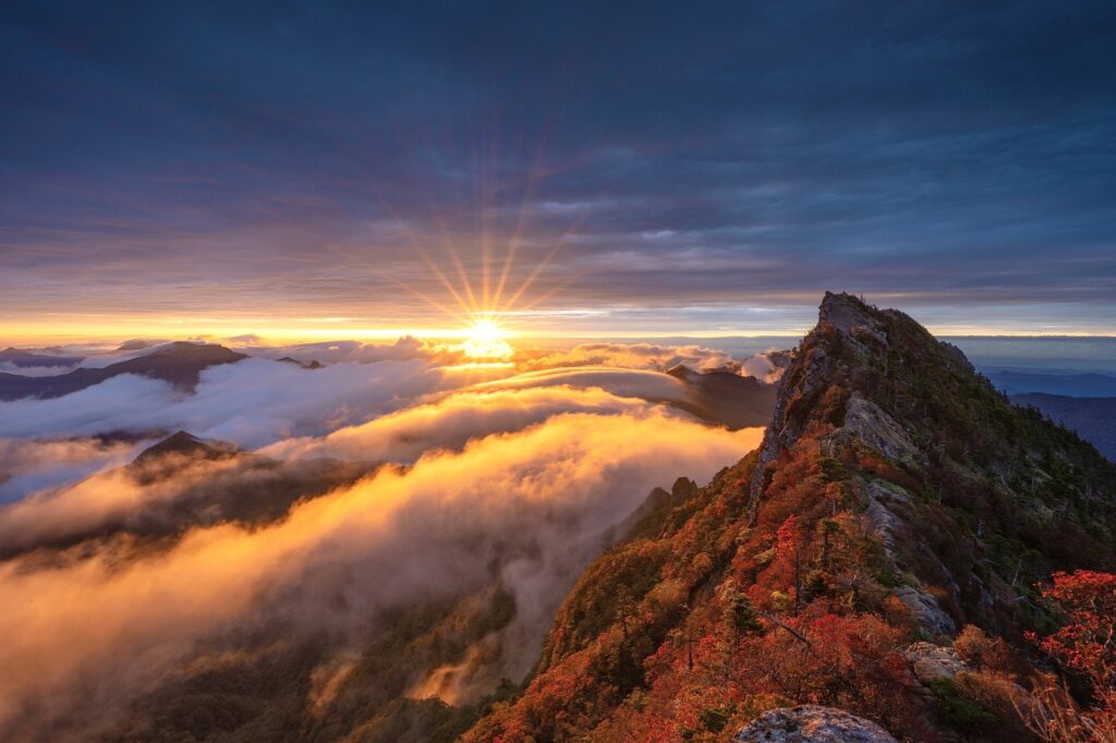
- Location: Ehime Prefecture
- Elevation: 1,982 m (6,503 ft)
- Parent Range: Shikoku Mountains
- Listing: “100 Famous Mountains of Japan”, “Seven Sacred Mountains of Japan”
Mount Ishizuchi, also known as Ishizuchi-san, is a spectacular sacred mountain in Ehime Prefecture on the island of Shikoku. Rising to 1,982 metres, it is the highest mountain in western Japan and one of the country's most revered spiritual destinations. Part of the Ishizuchi Mountain Range within the greater Shikoku Mountains, it is famous for its dramatic rocky summit, steep ridgelines, lush forests, and breathtaking panoramic views extending across the Seto Inland Sea, the Pacific Ocean, and the surrounding mountains.
Mount Ishizuchi has been an important centre of Japanese mountain worship and Shugendō ascetic practices for approximately 1,300 years. According to tradition, the mountain was established as a sacred place by En no Ozunu, the legendary founder of Shugendō.
Its challenging climbing routes feature enormous iron chains attached to near-vertical rock faces, historically used by mountain ascetics as part of their spiritual training. The summit is crowned by spectacular rocky formations and the Ishizuchi Shrine's Okunomiya Chōjō-sha.
78) Shikoku Karst – Tengu Highlands (四国カルスト・天狗高原)
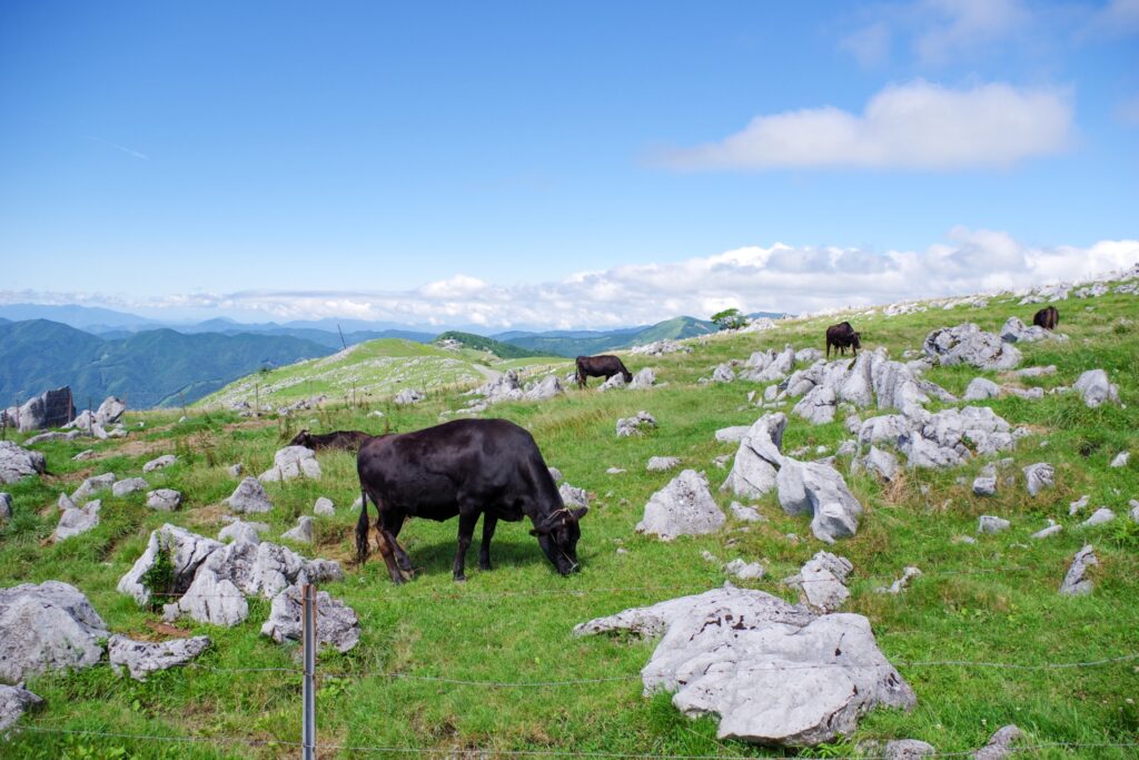
- Location: Kochi Prefecture
- Elevation: 1,485 m (4,872 ft)
- Parent Range: Shikoku Mountains
- Listing: “Japan's Three Great Karst Landscapes”
Shikoku Karst – Tengu Highlands (四国カルスト・天狗高原), reaching approximately 1,485 meters (4,872 feet) above sea level, is one of Japan's most extraordinary highland landscapes. Situated along the border between Kochi and Ehime prefectures, this spectacular limestone plateau stretches approximately 25 kilometers across the mountainous interior of Shikoku. Often nicknamed the "Switzerland of Japan," the region is celebrated for its rolling green grasslands, distinctive white limestone formations, grazing cattle, and breathtaking mountain panoramas. It is considered one of Japan's Three Great Karst Landscapes, alongside Akiyoshidai in Yamaguchi Prefecture and Hiraodai in Fukuoka Prefecture.
Visitors can also explore the Karst Terrace, an educational visitor center explaining the area's distinctive geology and natural environment. Nearby, Hoshifuru Village TENGU offers accommodation, dining, and opportunities for stargazing, thanks to the highland's exceptionally dark night skies.
79) Mount Yashima (屋島)
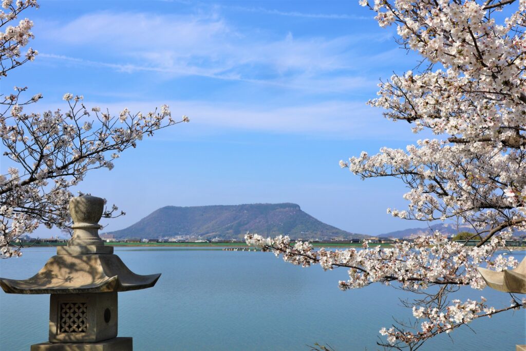
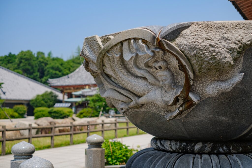
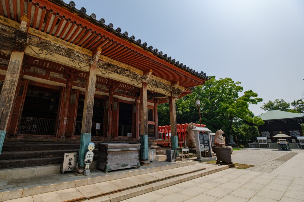
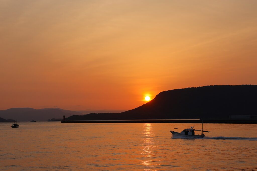
- Location: Kagawa Prefecture
- Elevation: 292 m (958 ft)
- Parent Range: isolated volcanic plateau
- Listing: National Historic Site of Japan, National Natural Monument of Japan
Mount Yashima’s name translates to "Roof Island," reflecting its unusual table-like shape and its historical position as an island separated from Shikoku by a narrow channel. Land reclamation eventually connected it to the mainland, but its remarkable profile remains one of the most recognizable features of the Seto Inland Sea coastline.
Yashima-ji Temple, the 84th temple on the Shikoku 88 Temple Pilgrimage, is located on the mountain. Dating back to the eighth century, this historic Buddhist temple features traditional architecture, a distinctive five-story pagoda, and beautiful grounds.
Mount Yashima is also particularly famous for being the location of the Battle of Yashima in 1185, one of the major engagements of the Genpei War between the Taira and Minamoto clans. The surrounding coastline contains numerous sites associated with the battle, including Dan-no-Ura, where the Taira fleet was stationed.
Hokkaido
80) Mount Asahidake (旭岳)
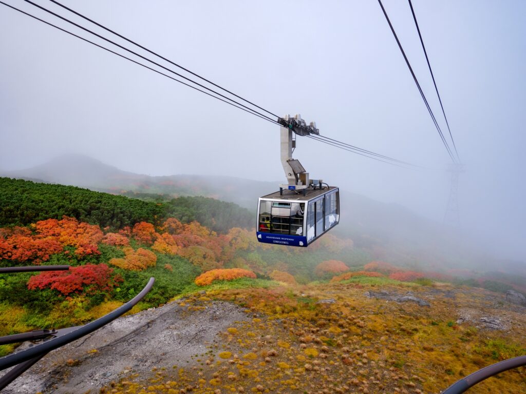
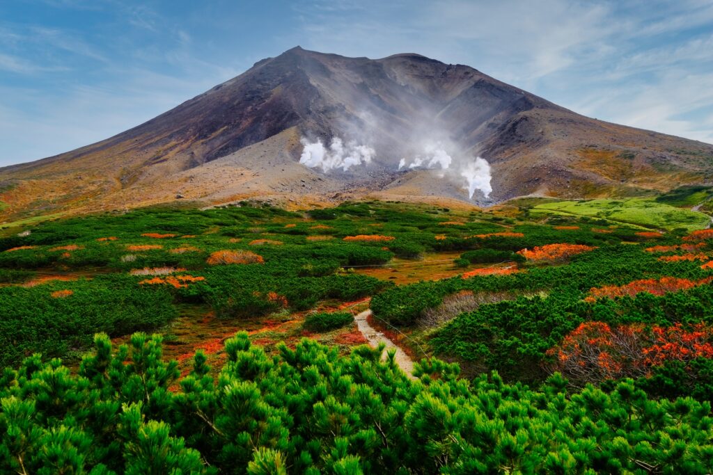
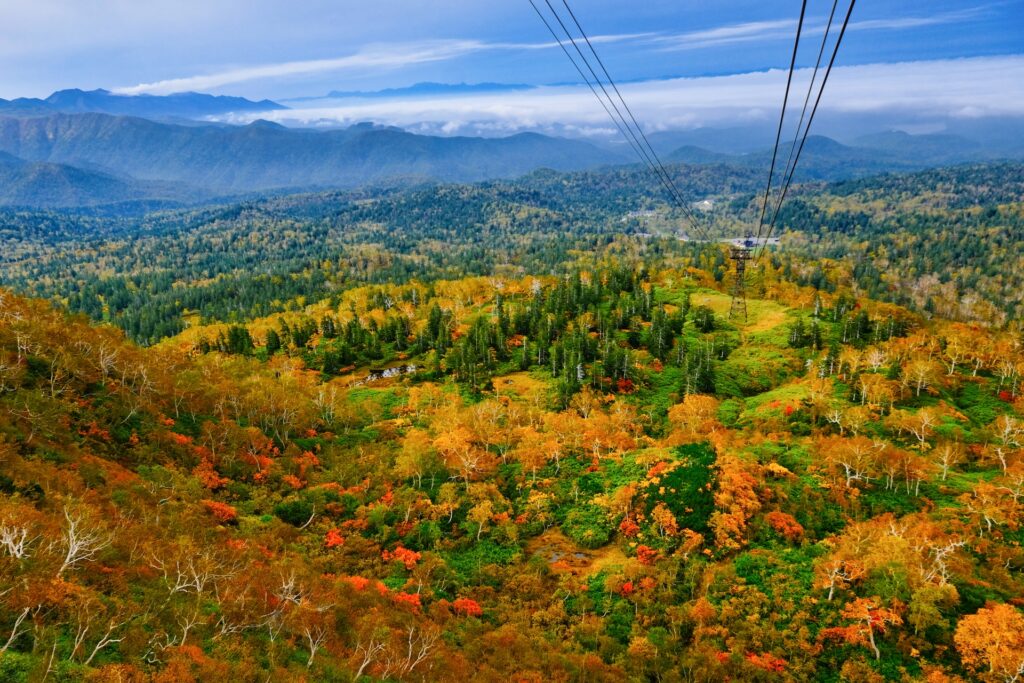
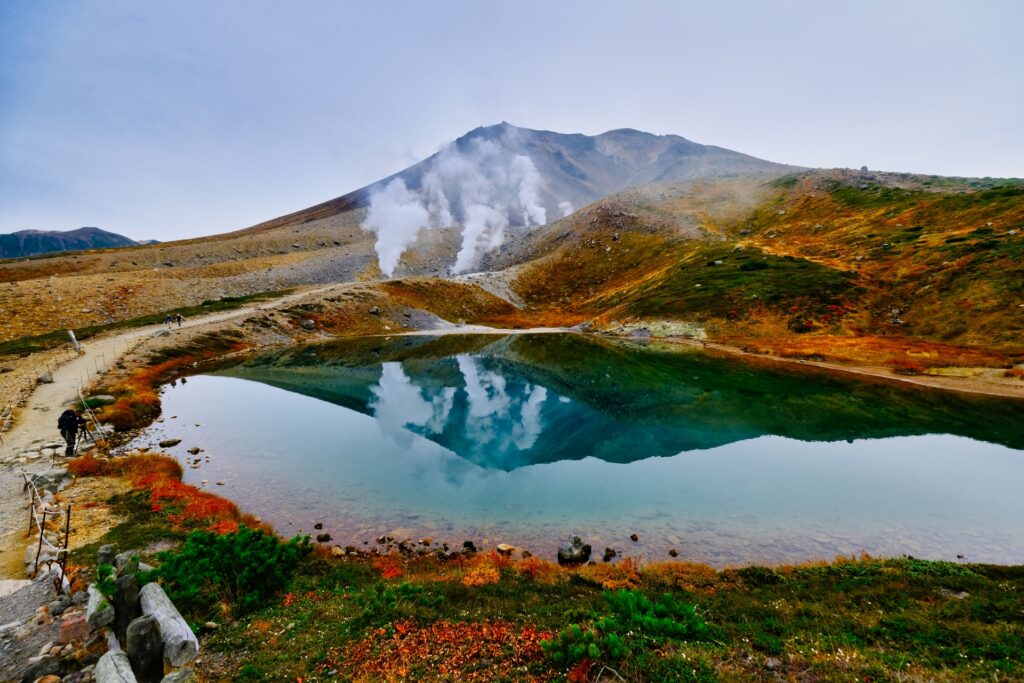
- Location: Hokkaido Prefecture
- Elevation: 2,291 m (7,516 ft)
- Parent Range: Daisetsuzan Volcanic Group
Mount Asahidake, rising 2,291 meters (7,516 feet) above sea level, is the highest mountain in Hokkaido and a highlight of Daisetsuzan National Park.
This active volcano is renowned for its dramatic alpine scenery, steaming volcanic vents, colorful wildflowers, and breathtaking seasonal landscapes.
The Asahidake Ropeway transports passengers from the mountain's base at approximately 1,100 meters to Sugatami Station at 1,600 meters in just 10 minutes. From there, an easy walking trail leads to the picturesque Sugatami Pond, while more adventurous hikers can continue toward the summit.
During winter, Asahidake becomes a paradise for powder-snow seekers, attracting experienced skiers and snowboarders. However, it is not a conventional ski resort, and requires backcountry skiing equipment and experience.
Nearby attractions include Asahidake Onsen, where travelers can relax in natural hot springs, and the scenic Blue Pond near Biei.
81) Mount Hakodate (函館山)
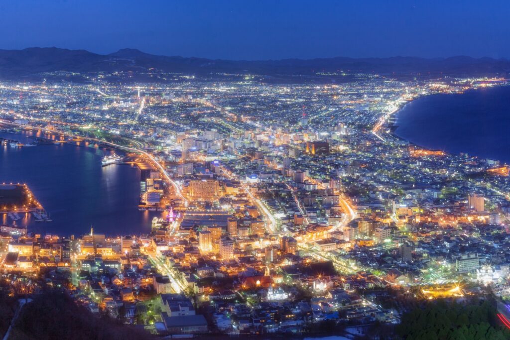
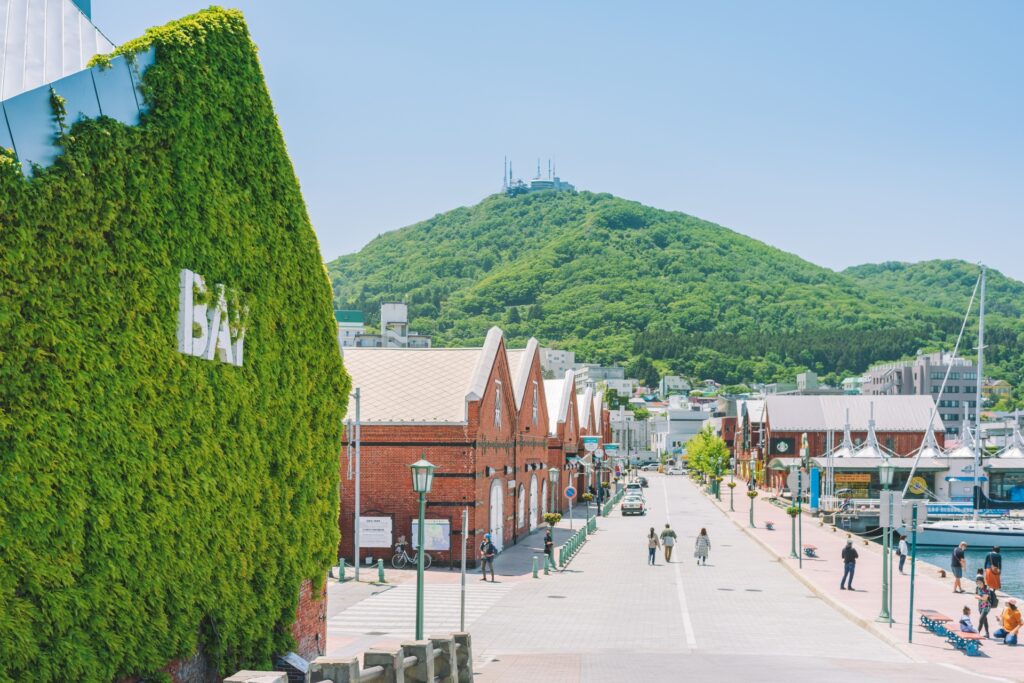
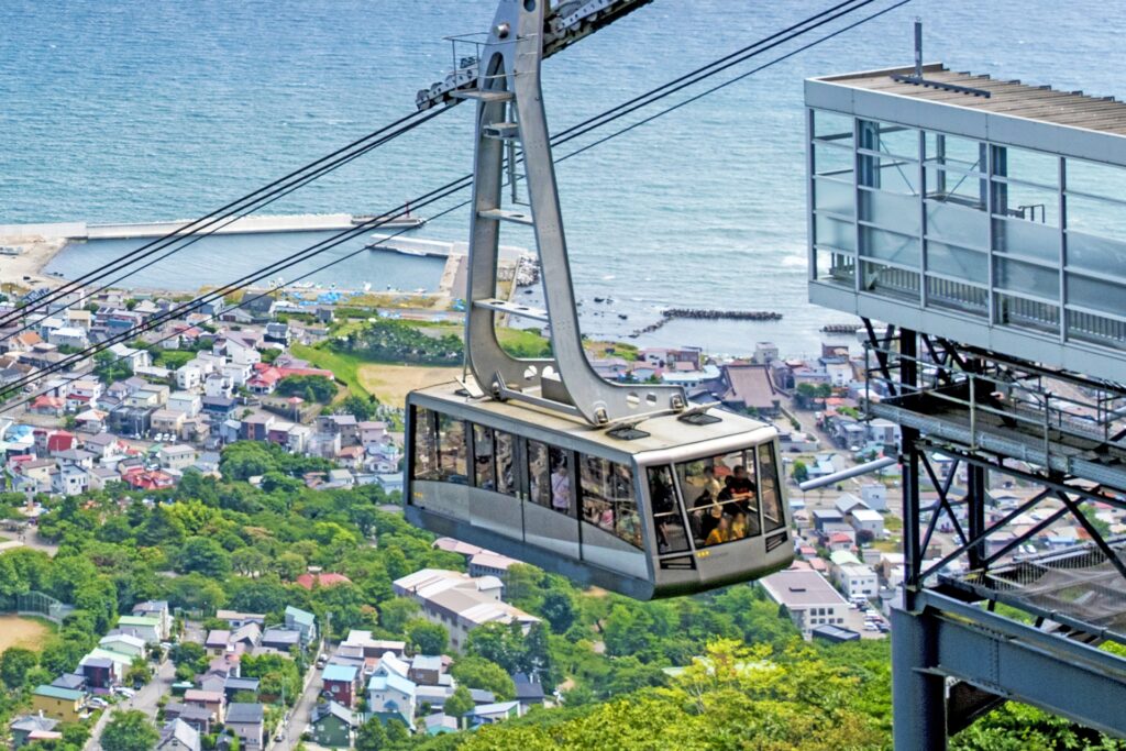
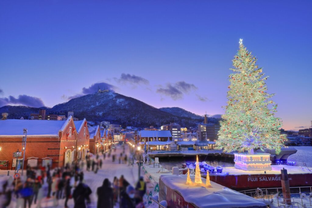
- Location: Hokkaido Prefecture
- Elevation: 334 m (1,096 ft)
- Parent Range: Hakodate Mountain Range
- Listing: “Three Night Views of Japan”, Michelin Green Guide
Mount Hakodate (Hakodateyama) is a scenic mountain on the southern tip of the Hakodate Peninsula in Hokkaido. The mountain overlooks the historic port city of Hakodate.
Its world-famous nighttime panorama is recognized as one of Japan's Three Best Night Views, alongside Mount Inasa in Nagasaki and Mount Rokko in Kobe.
Visitors can reach the summit aboard the Mount Hakodate Ropeway, a 125-passenger gondola that completes the scenic ascent in approximately three minutes. A summit observation deck offers breathtaking views, particularly around 30 minutes after sunset, when the city lights sparkle against the surrounding darkness.
Nearby attractions include the historic Motomachi district, the picturesque Kanemori Red Brick Warehouses, Goryokaku Fort, and Hakodate Park. Unlike Hokkaido's larger alpine destinations, Mount Hakodate has no major ski resort; its appeal lies in its scenery, walking trails, wildlife, and fascinating history as a former military fortress.
82) Mount Meakan (雌阿寒岳)
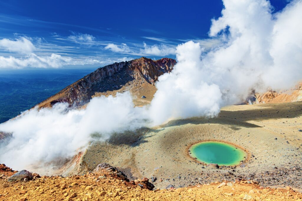
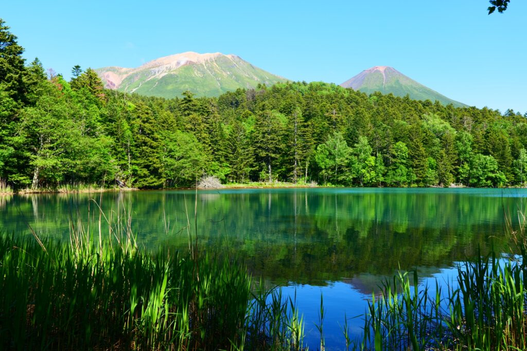
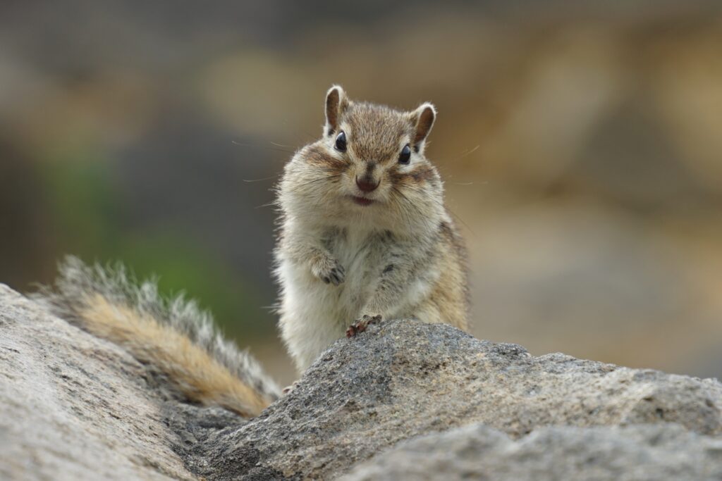
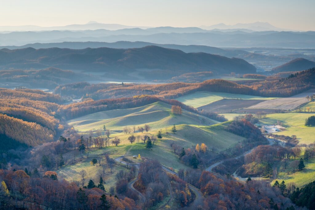
- Location: Hokkaido Prefecture
- Elevation: 1,499 m (4,918 ft)
- Parent Range: Akan Mountain Range
- Listing: “100 Famous Mountains of Japan”
Rising 1,499 meters (4,918 feet) above sea level, it is the highest peak in the Akan Mountain Range and is renowned for its rugged volcanic landscape, steaming craters, and beautiful alpine flora.
Adventurous travelers can explore three main hiking routes: the Meakan Onsen Trail, the Onneto Trail, and the Akankohan Trail. Depending on the chosen route, reaching the summit generally takes approximately 2.5 to 3.5 hours, with additional time required for the descent. At the top, hikers are rewarded with impressive panoramic views of the surrounding volcanic terrain, Lake Akan, Mount Oakan, and distant mountain ranges.
Nearby attractions include the picturesque Lake Onneto, often called the Lake of Five Colors, Meakan Onsen, and the unusual Onneto Yunotaki Falls.
83) Mount Moiwa (藻岩山)
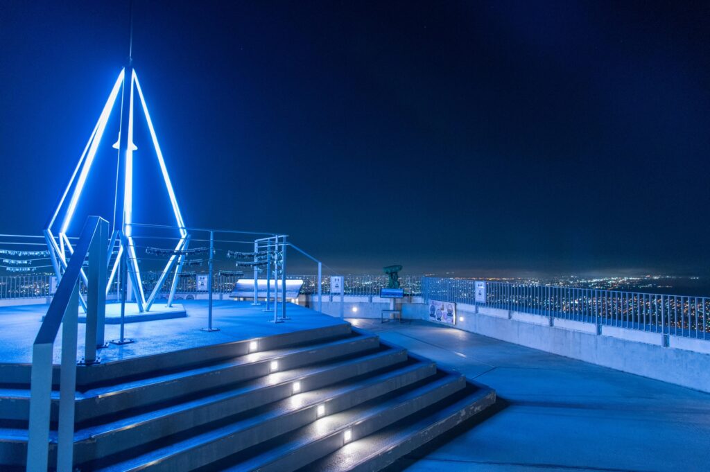
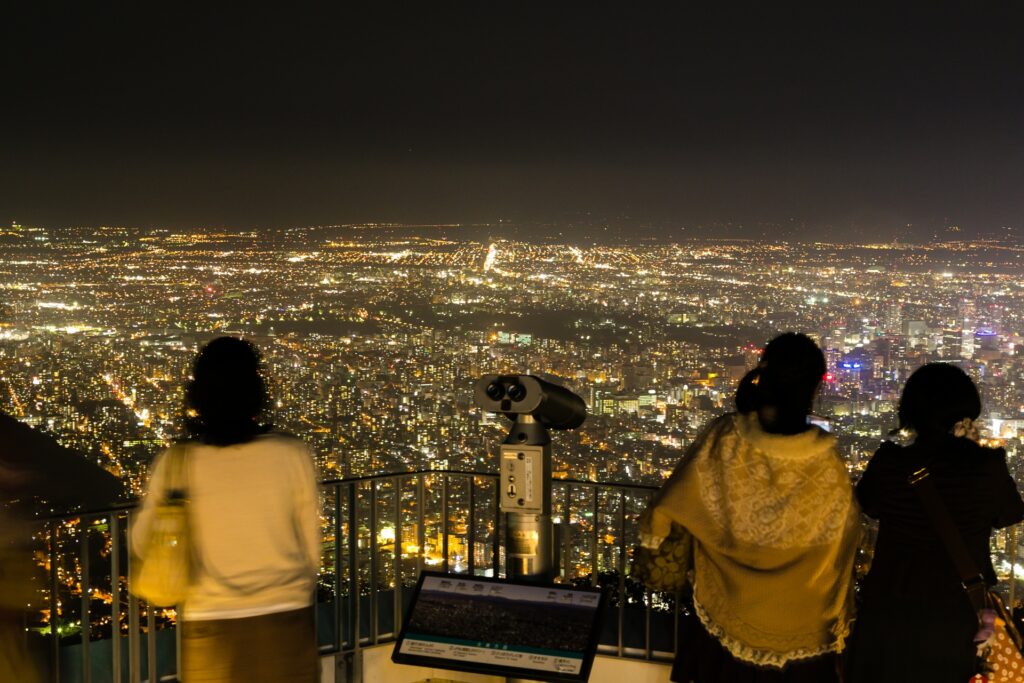
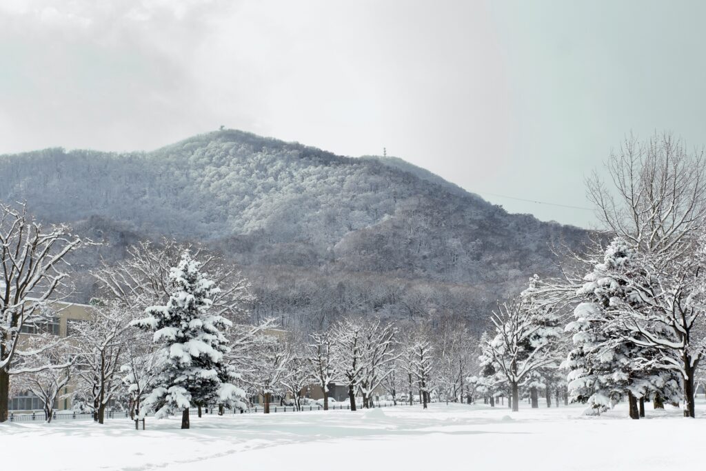
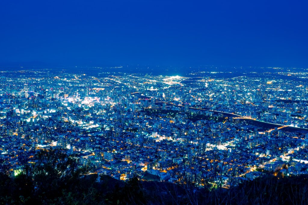
- Location: Hokkaido Prefecture
- Elevation: 531 m (1,742 ft)
- Parent Range: Isolated mountain
- Listing: “Japan's New Three Major Night Views”, “Hokkaido 100 Famous Mountains”
Mount Moiwa (Moiwa-yama) is a popular scenic mountain located southwest of central Sapporo, offering spectacular panoramic views of the city and surrounding landscapes. The forest-covered mountain is particularly famous for its breathtaking nighttime scenery and is recognized as one of Japan's New Three Major Night Views.
Visitors can reach the summit aboard the Mount Moiwa Ropeway, which carries passengers from the mountain's base to an intermediate station in approximately five minutes. From there, the distinctive Morris Car mini cable car provides a scenic ride through the forest to the summit observation deck. The 360-degree panorama encompasses Sapporo's illuminated skyline, the expansive Ishikari Plain, Ishikari Bay, and distant mountain ranges.
There are also five hiking trails that offer opportunities to explore the mountain's beautiful primeval forest, which was designated a natural monument in 1921. Winter visitors can also enjoy the nearby Sapporo Moiwa Snow Square (Mount Moiwa Ski Resort), featuring downhill skiing and snowboarding facilities. Other nearby attractions include Maruyama Park, Hokkaido Shrine, Odori Park, and the lively Susukino entertainment district.

84) Mount Poroshiri (幌尻岳)
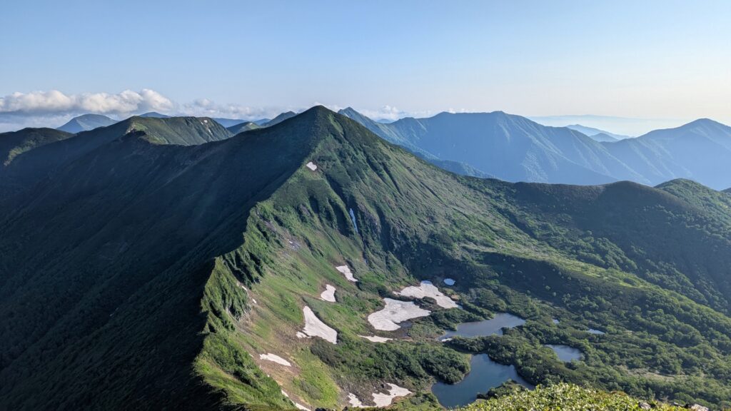
- Location: Hokkaido Prefecture
- Elevation: 2,052.8 m (6,735 ft)
- Parent Range: Hidaka Mountains
- Listing: “100 Famous Mountains of Japan”
The name of Mt Poroshiri means “great mountain” in the native Ainu language, and is aptly named as it is the highest mountain in the Hidaka range with a prominence of 1,409 m (4,623 ft). The summit rewards experienced climbers with sweeping 360-degree views across the rugged Hidaka range toward the distant Tokachi Plain.
Mount Poroshiri is considered a demanding mountaineering destination rather than a casual hiking excursion. The Biratori approach involves crossing rivers, and climbers should arrange mountain hut reservations well in advance, check access and shuttle bus schedules, and carry appropriate equipment.
85) Mount Rausu (羅臼岳)
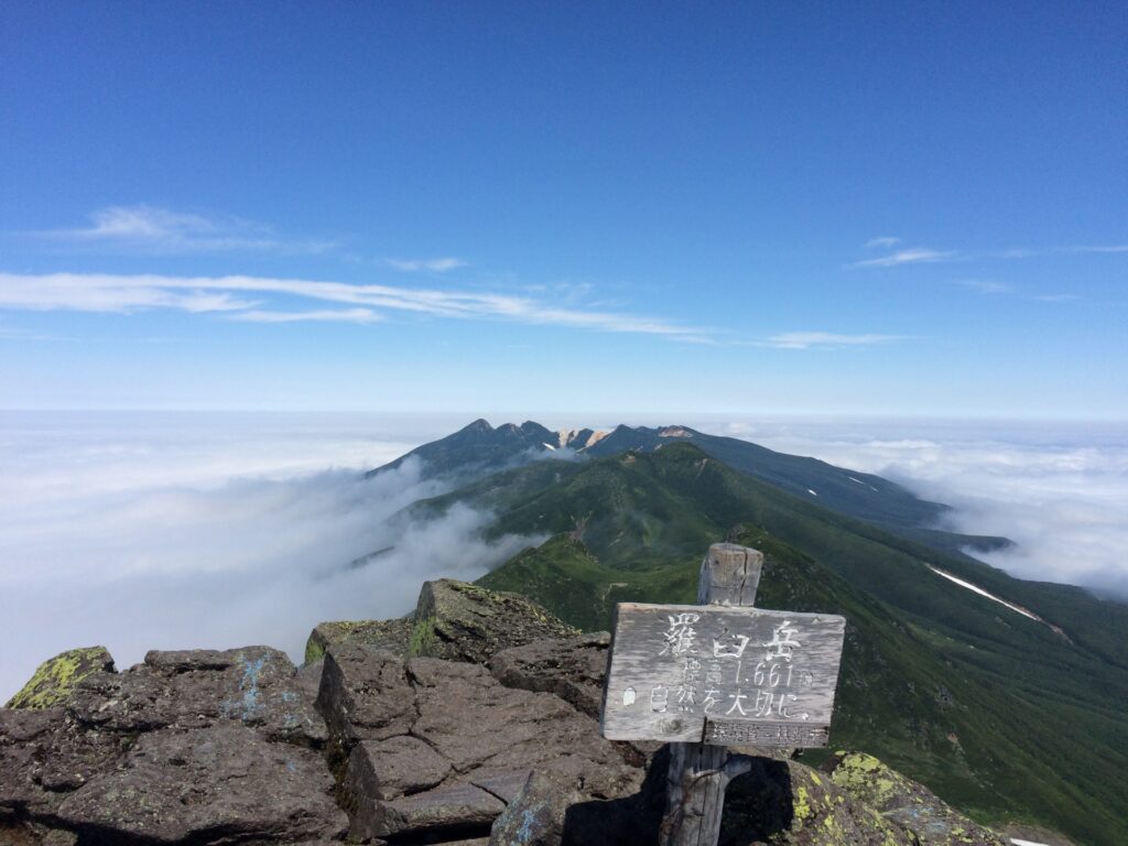
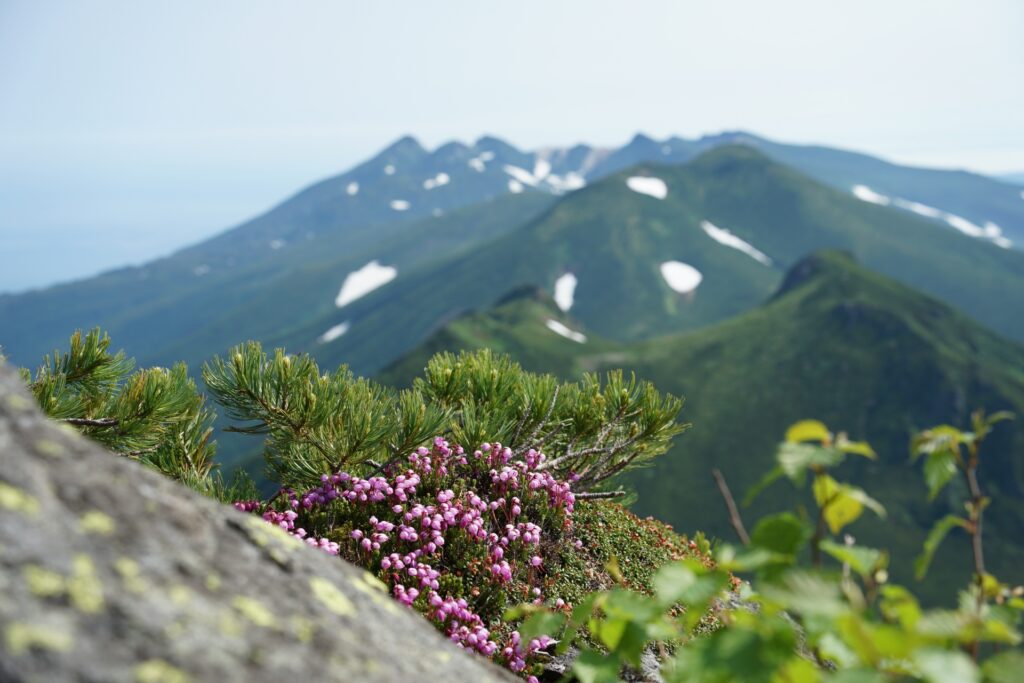
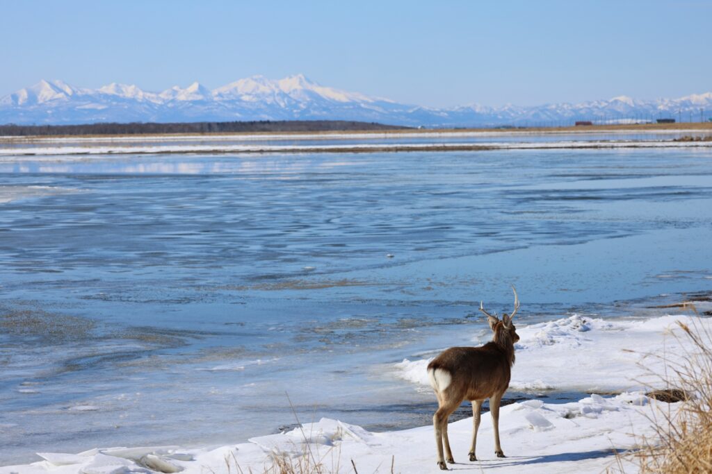
- Location: Hokkaido Prefecture
- Elevation: 1,660.4 m (5,448 ft)
- Parent Range: Shiretoko Mountains
- Listing: “100 Famous Mountains of Japan”, “Top 10 Mountaintop Views”
Located on the Shiretoko Peninsula of Hokkaido, Mt Rasu is part of Siretoto National Park. The mountain is actually a stratovolcano that is believed to have erupted 3 times in history with the most recent eruption being around 500 years ago.
86) Mount Rishiri (利尻岳)
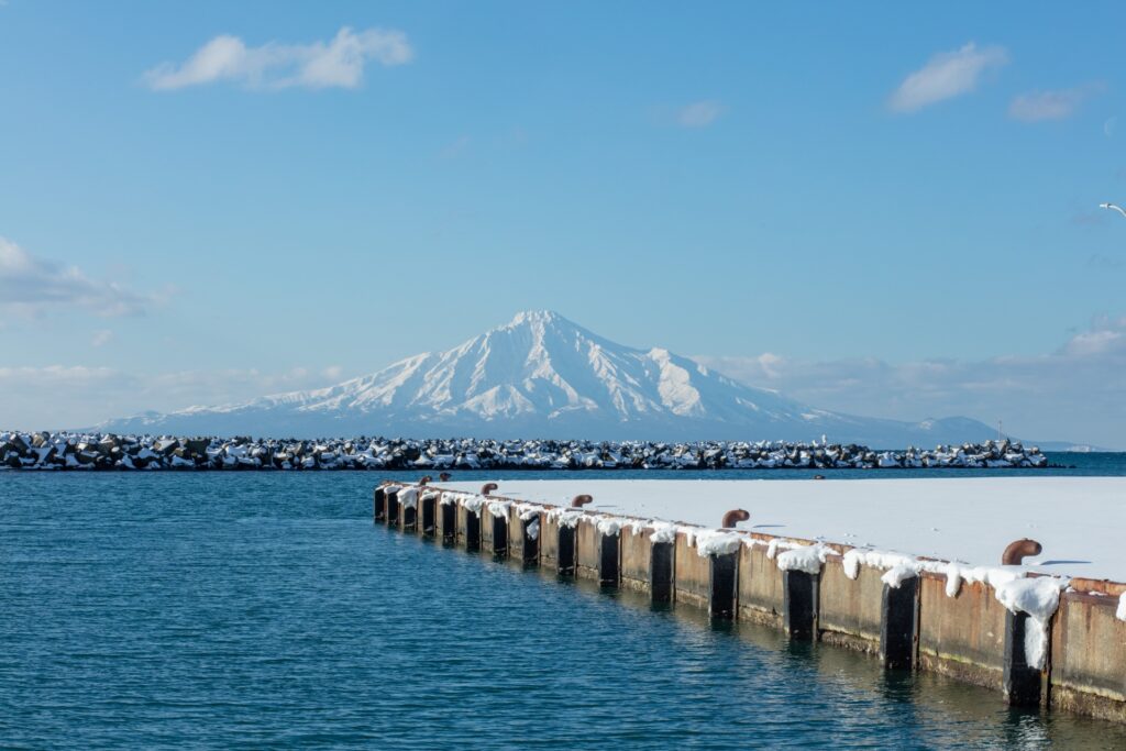
- Location: Hokkaido Prefecture
- Elevation: 1,721 m (5,646 ft)
- Listing: “100 Famous Mountains of Japan”, “Top 10 Mountaintop Views”
Another stratovolcano, Mt Rishiri is especially striking as it rises out of the sea of Japan to form Rishiri Island off the coast of Hokkaido. On clear days, hikers can see the Russian island of Sakhalin from the summit.
Fun Fact: The mountain on the packages of Shiroi Koibito cookies is Mt. Rishiri.
87) Mount Tokachi (十勝岳)
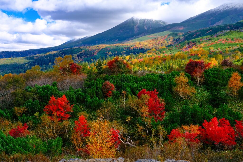
- Location: Hokkaido Prefecture
- Elevation: 2,077 m (6,814 ft)
- Parent Range: Tokachi Volcanic Group
- Listing: “100 Famous Mountains of Japan”
Mt Tokachi is the tallest mountain in Daisetuzan National Park. It is an active volcano with current restrictions for climbing in certain areas.
88) Mount Usu (有珠山)
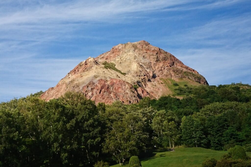
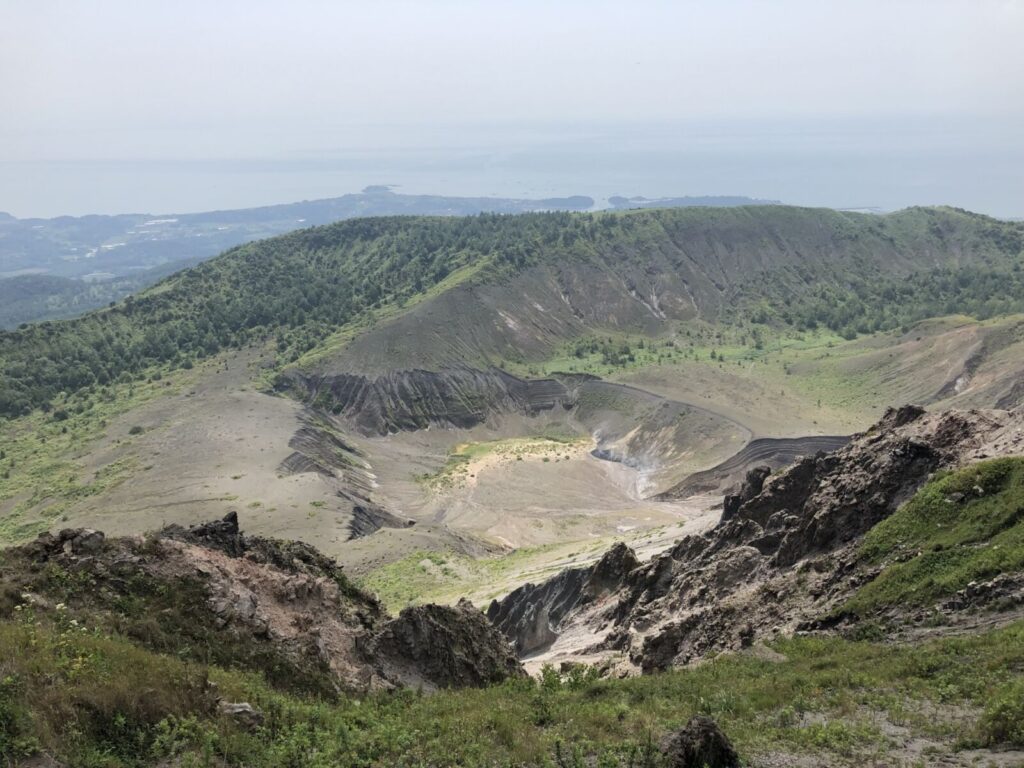
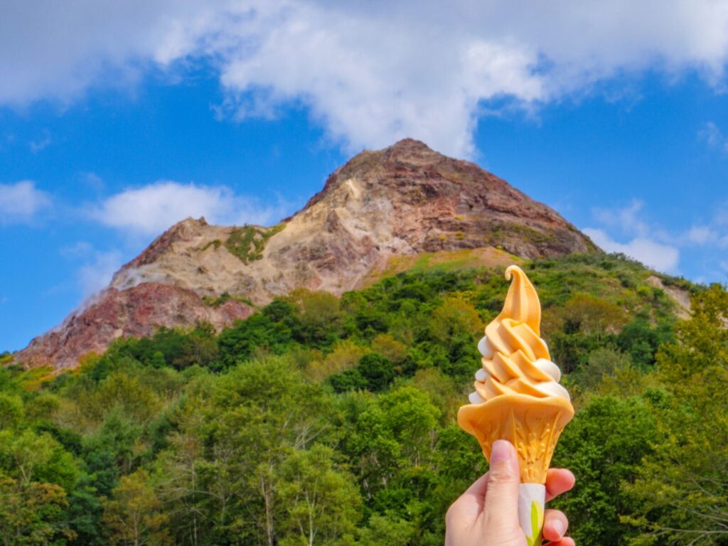
- Location: Hokkaido Prefecture
- Elevation: 733 m (2,405 ft)
- Parent Range: Nasu Volcanic Zone
- Listing: “Nihon Meizan Zue”
Situated at the southern end of Lake Toya, Mt Usu is the backdrop of many travelers’ photographs.
89) Mount Yōtei (羊蹄山)
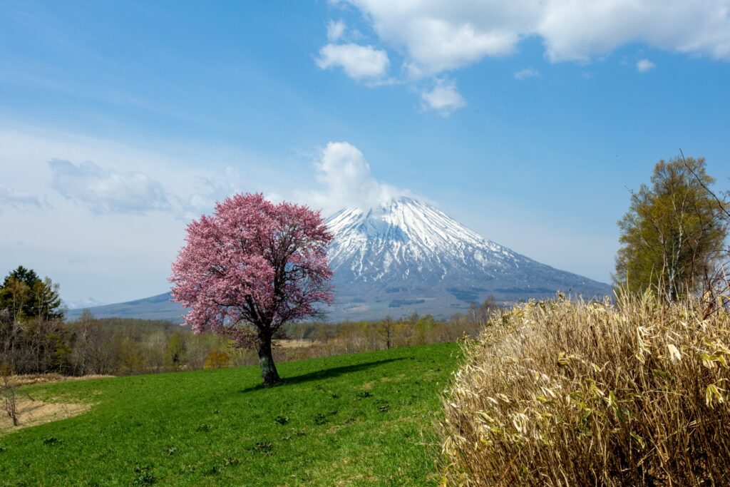
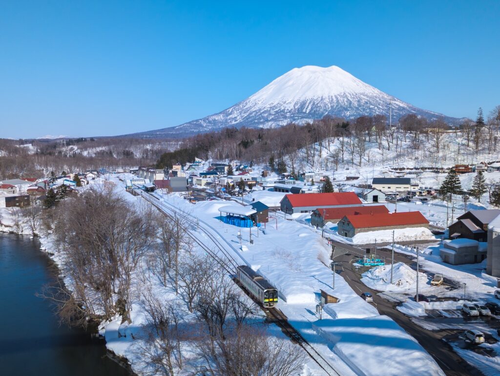
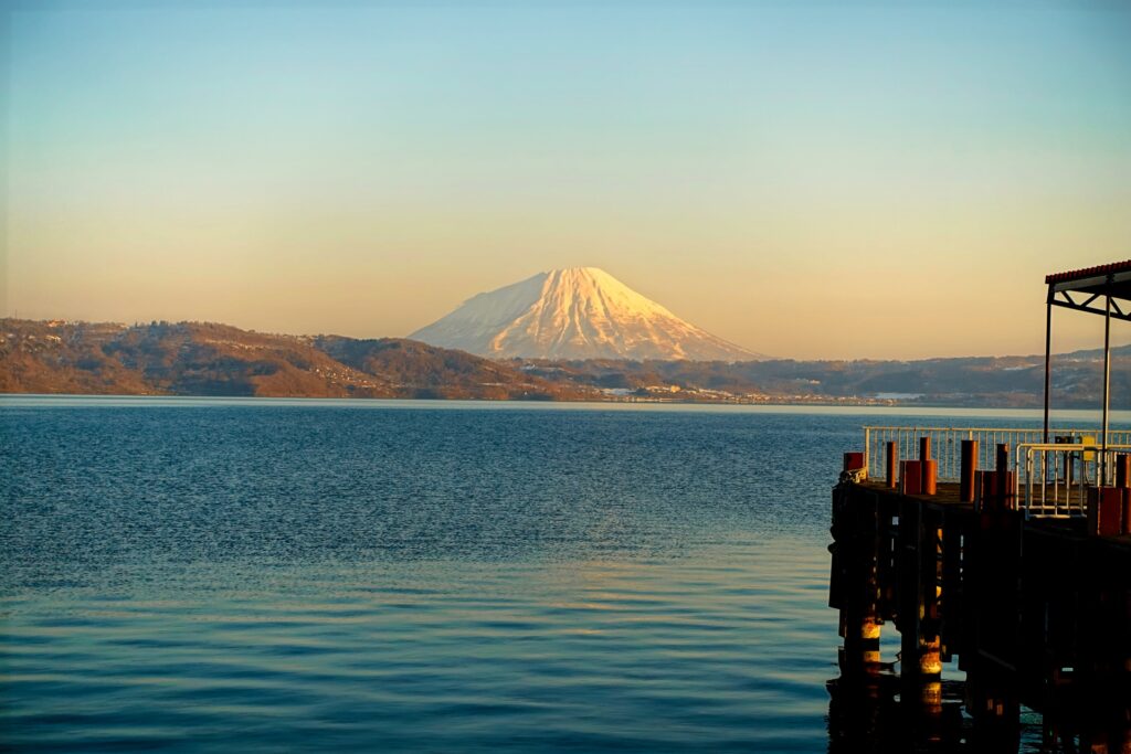
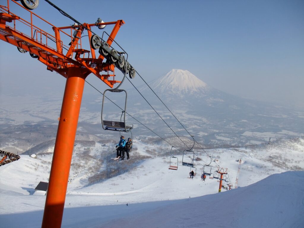
- Location: Hokkaido Prefecture
- Elevation: 1,898 m (6,227 ft)
- Listing: “100 Famous Mountains of Japan”, “Nihon Meizan Zue”
Mt Yotei is often referred to as “Ezo Fuji”, referring to the old name for Hokkaido—Ezo, as its symmetrical shape resembles that of Mt. Fuji. The stratovolcano is located in Skikotsu-Toya National Park.
Fun Fact: The Ainu called Mt Yotei “Machineshiri” (雌山) meaning “female mountain”.
Kyushu (Fukuoka, Saga, Nagasaki, Kumamoto, Oita, Miyazaki, Kagoshima)
90) Mount Aso (阿蘇山)
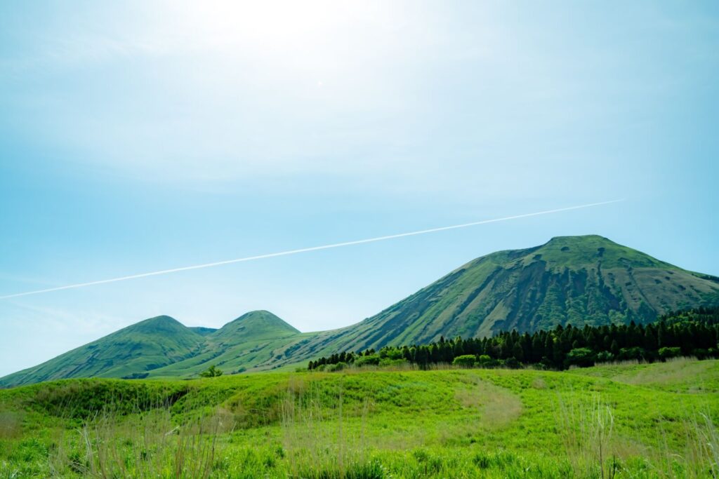
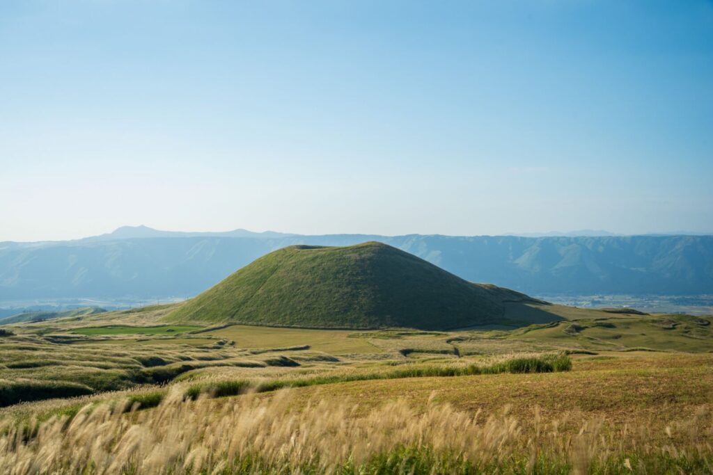
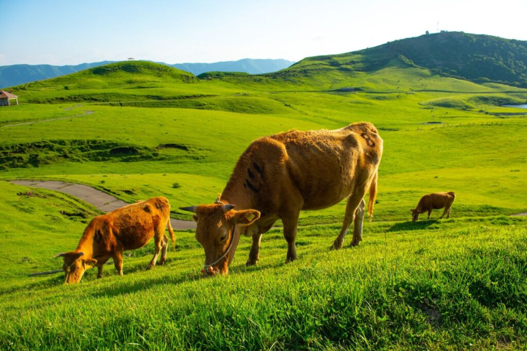
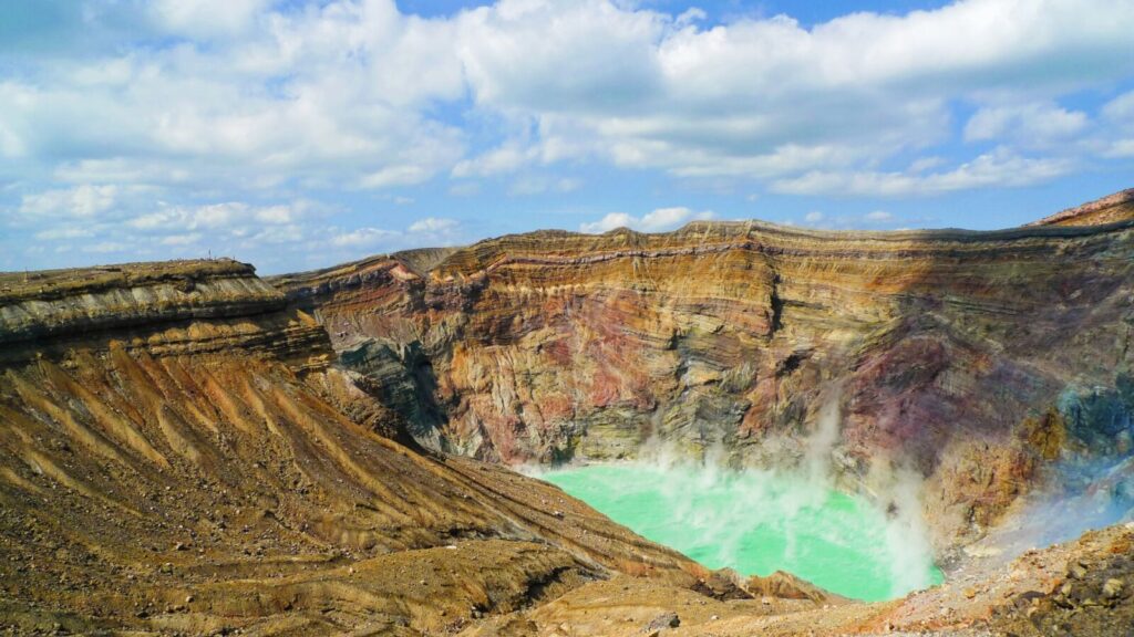
- Location: Kumamoto Prefecture
- Elevation: 1,592 m (5,223 ft)
- Parent Range: Aso Volcanic Group
- Listing: “100 Famous Mountains of Japan”, “Top 10 Mountaintop Views”
Located in Aso-Kuju National Park, Mount Aso, also known as Aso-san, features one of the world's largest volcanic calderas, approximately 25 kilometres across. The mountain complex is composed of five principal peaks collectively known as the Aso Five Peaks: Takadake, Nakadake, Nekodake, Kishimadake, and Eboshidake.
Rising to 1,592 metres at its highest point, Mount Aso offers spectacular panoramic views across its vast caldera, surrounding grasslands, and distant mountain ranges.
Its most famous feature is the active Nakadake Crater, which regularly emits volcanic gases and steam, creating a dramatic reminder of the region's ongoing geological activity.

91) Mount Inasa (稲佐山)
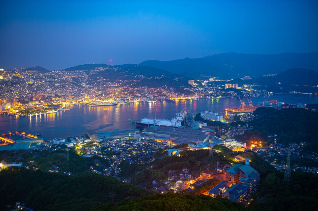
- Location: Nagasaki Prefecture
- Elevation: 333 m (1,093 ft)
- Parent Range: isolated hills
- Listing: “Three Night Views of Japan”
Mount Inasa, also known as Inasayama, is a celebrated mountain overlooking Nagasaki City on the western coast of Kyushu. Rising 333 metres above sea level, it is internationally renowned for its spectacular panoramic night views, often described as a “Ten-Million-Dollar Night View.”
From its summit observation deck, visitors can enjoy sweeping 360-degree views of Nagasaki's illuminated cityscape, winding coastline, harbor, and surrounding islands. On clear days, the panorama extends toward Mount Unzen, the Amakusa Islands, and the Goto Islands.
Accessible by ropeway, slope car, automobile, or hiking trail, the summit attracts visitors throughout the year, especially around sunset when the city gradually transforms into a sea of lights.
92) Mount Miyanoura (宮之浦岳)
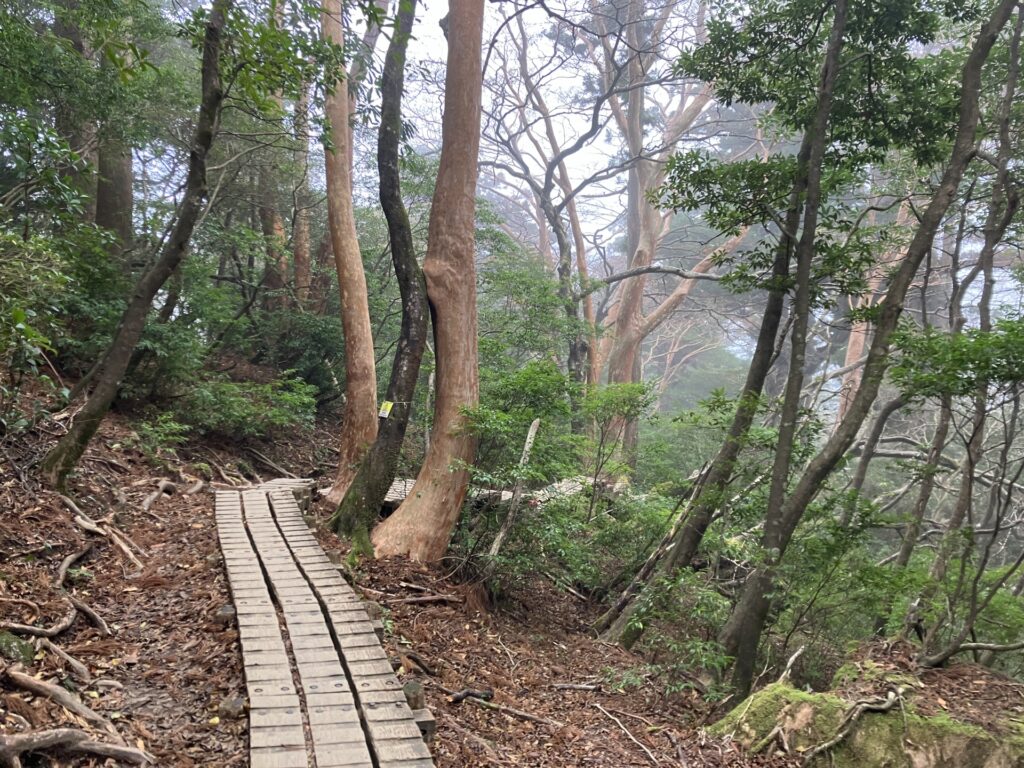
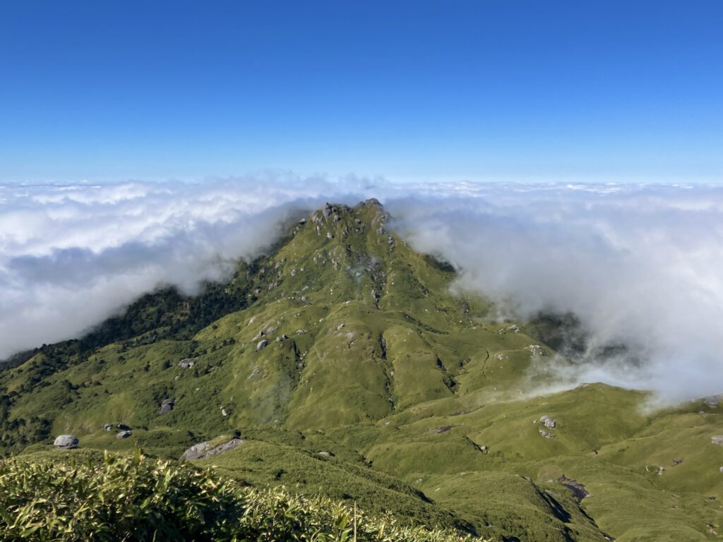
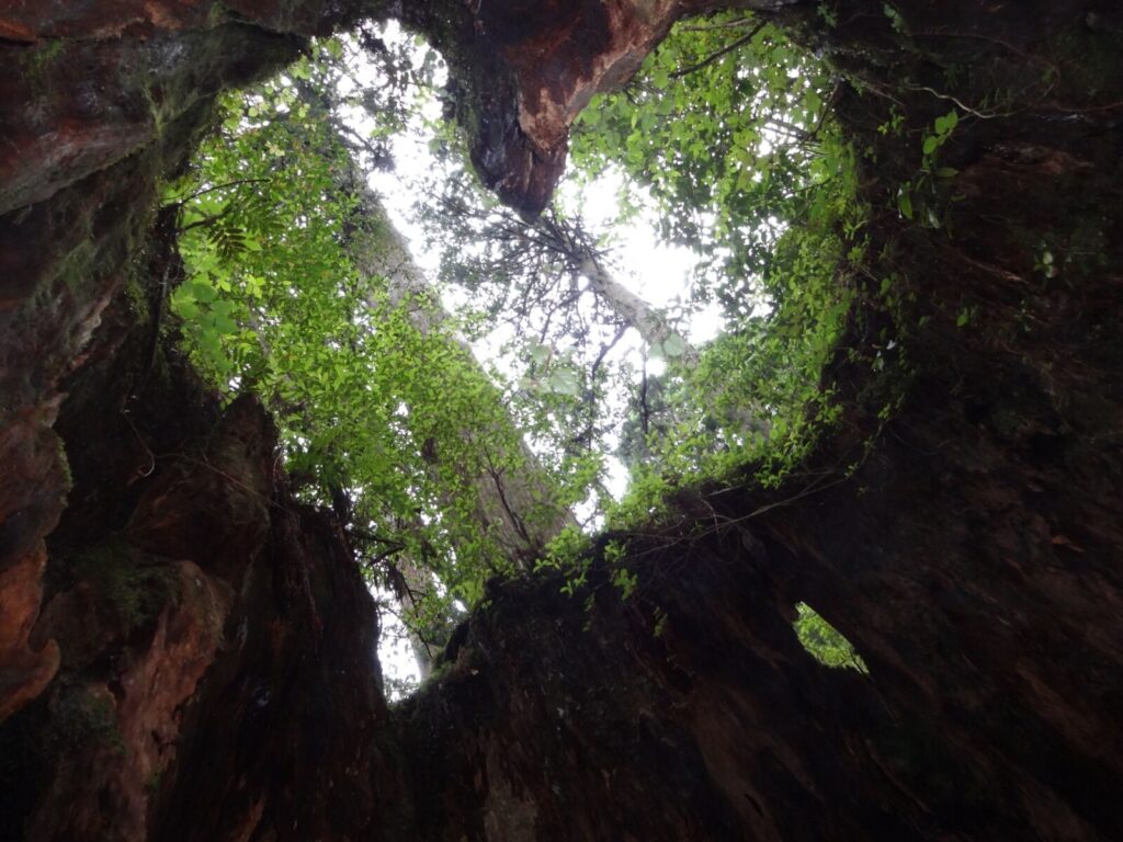
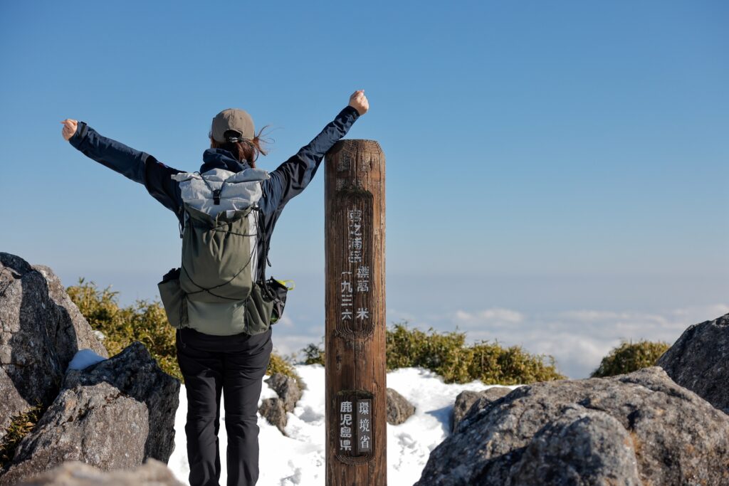
- Location: Kagoshima Prefecture (Yakushima Island)
- Elevation: 1,936 m (6,352 ft)
- Parent Range: Ōsumi Mountains
- Listing: “100 Famous Mountains of Japan”, UNESCO World Natural Heritage Site (Yakushima)
Mount Miyanoura is in the heart of Yakushima Island, south of Kyushu, in Kagoshima Prefecture. Tt is the highest mountain in both Kyushu and Yakushima, making it a particularly significant destination for Japanese mountaineers.
The mountain is part of the island's rugged central mountain range, characterized by dramatic granite peaks, lush forests, and remarkable biodiversity. Its slopes transition from subtropical evergreen forests at lower elevations to moss-covered woodlands, dwarf bamboo, and alpine vegetation near the summit.
The popular climbing route begins at the Yodogawa Trail Entrance, leading hikers through beautiful forests, past the scenic Hananoego highland marsh, and toward the rocky summit. The round-trip hike generally takes approximately 10–12 hours and requires good physical fitness and preparation. From the summit, climbers can enjoy magnificent panoramic views across Yakushima's mountainous interior.
Nearby attractions include the famous Jomon Sugi cedar, the enchanting Shiratani Unsuikyo Ravine, Yakusugi Land, and the picturesque Senpiro Waterfall. There is no summit ropeway or ski resort; the mountain is primarily a destination for experienced hikers and nature enthusiasts.
93) Mount Sakurajima (桜島)
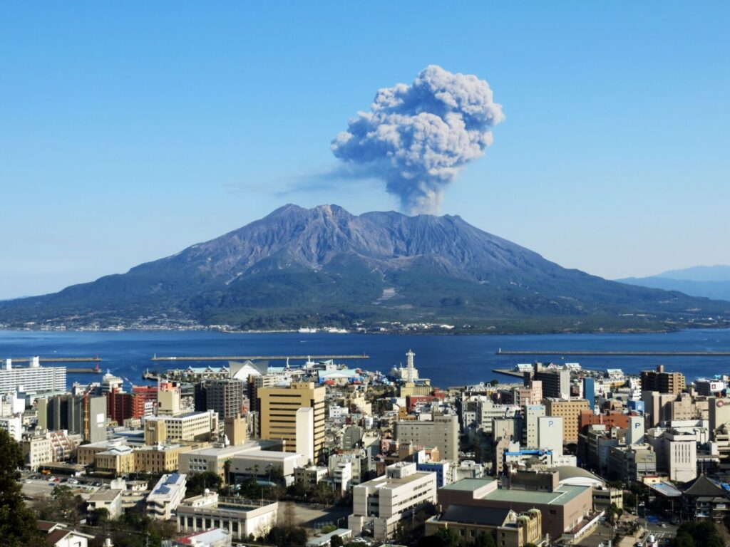
- Location: Kagoshima Prefecture
- Elevation: 1,117 m (3,665 ft)
- Parent Range: Aira Volcanic Caldera
Sakurajima is one of Japan's most famous and active volcanoes, dramatically dominating the landscape across Kagoshima Bay in southern Kyushu. Formerly an island, Sakurajima became connected to the Osumi Peninsula during the massive 1914 Taisho eruption, when lava flows filled the intervening strait.
Sakurajima is renowned for its frequent volcanic activity, including ash emissions and occasional explosive eruptions.
Its summit is not open to hikers because of ongoing volcanic activity. Instead, visitors can view the volcano from several designated observation points, including Yunohira Observatory, the highest point accessible to the general public, at approximately 373 meters (1,224 feet). Other popular viewpoints include Arimura Lava Observatory and Kurokami Observation Point.
Travelers can reach Sakurajima via the convenient 15-minute ferry crossing from Kagoshima Port, with services operating around the clock. Once on the island, the Sakurajima Island View sightseeing bus provides access to many of its major attractions.

94) Mount Takachiho-no-Mine (高千穂峰)
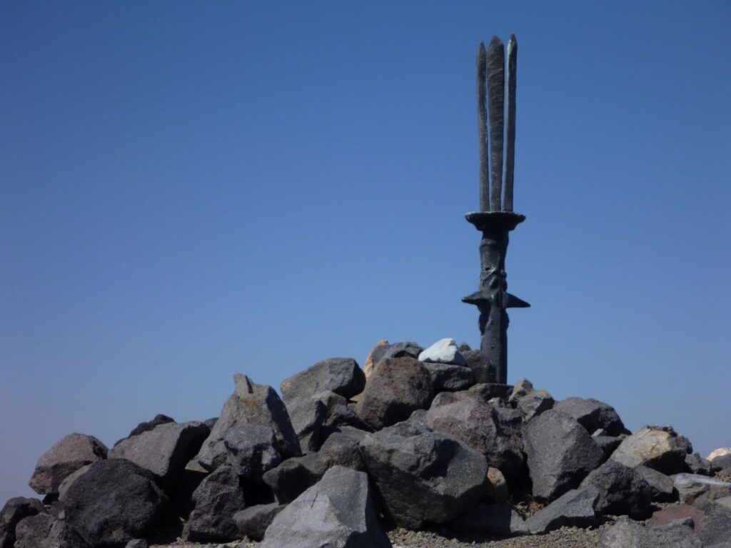
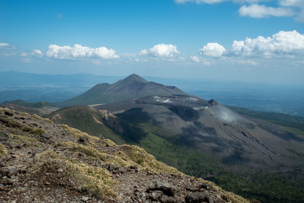
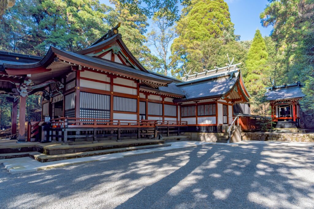
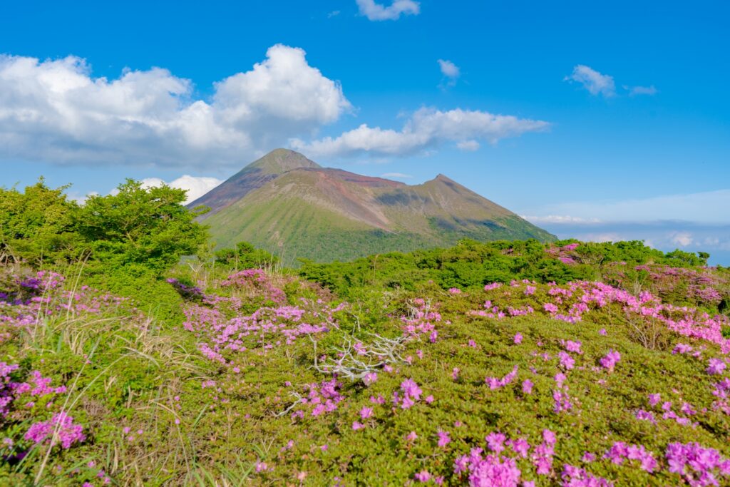
- Location: Kagoshima/Miyazaki Prefectures
- Elevation: 1,574 m (5,164 ft)
- Parent Range: Kirishima Mountains
- Listing: “100 Famous Mountains of Japan”
According to the ancient legend of Tenson Korin, the grandson of the Sun Goddess descended from heaven onto Mount Takachiho-no-Mine to establish the imperial lineage of Japan. At the summit stands Amanosakahoko (天逆鉾), a mysterious three-pronged bronze spear traditionally associated with this legendary descent.
The mountain's most popular hiking route begins at the Takachihogawara Visitor Center and takes approximately three to four hours round trip, covering around 5.5 kilometers. The trail passes the ancient ruins of Kirishima Shrine before climbing the steep, volcanic slopes surrounding the impressive Ohachi Crater.
Nearby attractions include Kirishima Jingu Shrine, the Takachihogawara Visitor Center, and the region's famous hot spring resorts.
95) Mount Yufu (由布岳)
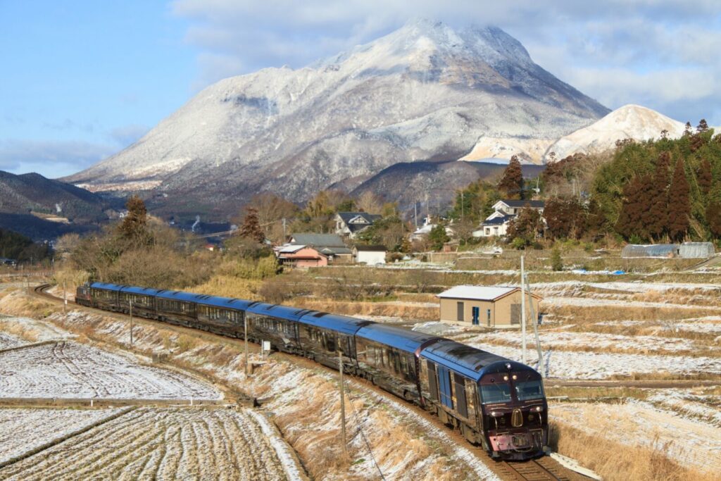
- Location: Oita Prefecture
- Elevation: 1,583 m (5,194 ft)
- Parent Range: Yufu-Tsurumi Volcanic Group
- Listing: “100 Famous Mountains of Japan”
Popular with hikers throughout the year, Mount Yufu offers several climbing routes through open grasslands, forested slopes, and rugged volcanic terrain.
The main hiking trail begins at the Yufu-dake trailhead, accessible by bus or car from Yufuin. Reaching the East Peak generally takes around 2.5 to 3 hours one way, while the more challenging West Peak involves steep, exposed scrambling and chain-assisted sections. From the summit, hikers are rewarded with spectacular panoramic views of the Yufuin Basin, Beppu Bay, Mount Tsurumi, and the distant Kuju Mountains.
Nearby attractions include Lake Kinrin, Yufuin's famous hot spring district, and the scenic Sagiridai Observation Point.
Okinawa
Mount Banna (バンナ岳)
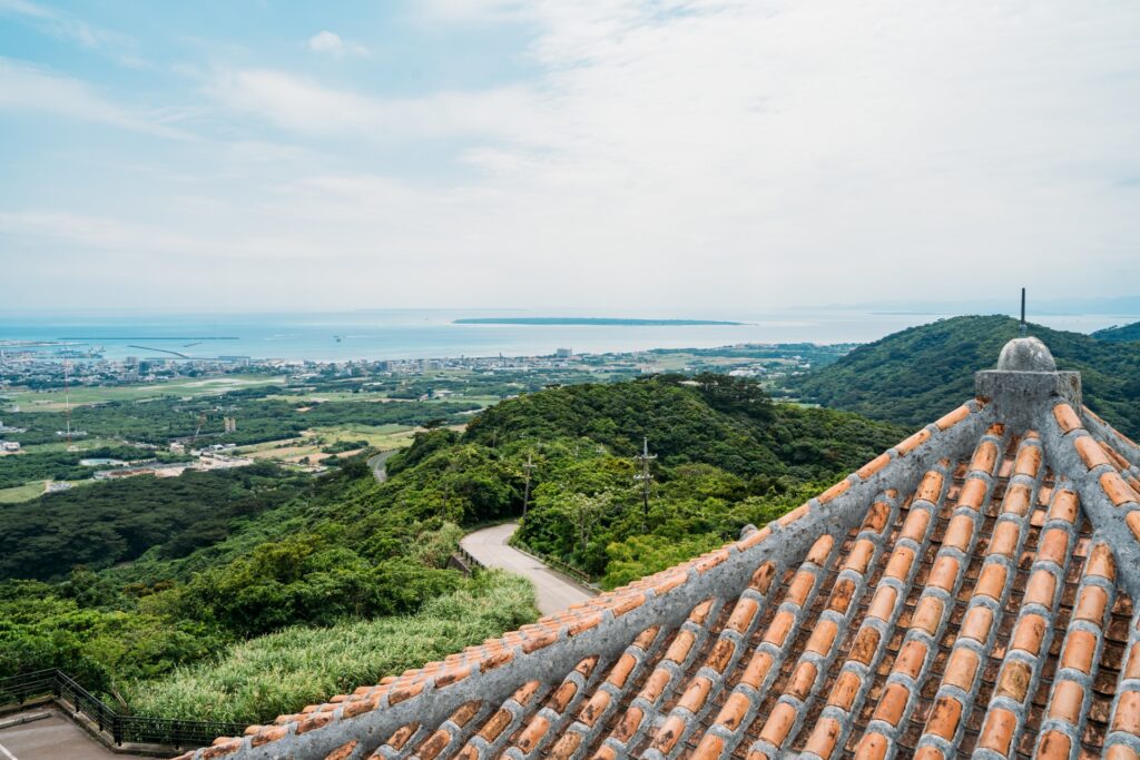
- Location: Okinawa Prefecture (Ishigaki Island)
- Elevation: 230 m (755 ft)
- Parent Range: isolated hill
- Listing: Scenic Viewpoint and Nature Destination
Mount Banna (バンナ岳, Banna-dake) is a picturesque forested hill located just north of Ishigaki City on Ishigaki Island.
Unlike Japan's towering alpine peaks, Mount Banna is celebrated for its subtropical vegetation, diverse wildlife, peaceful walking trails, and spectacular island panoramas. The surrounding park covers approximately 290 hectares and is divided into five recreational zones, offering opportunities for hiking, nature observation, cycling, and family activities.
One of the highlights is the Banna Skyline, a scenic road connecting several observation points, including the Emerald Sea Observatory, where visitors can enjoy sweeping views across Ishigaki City, the emerald-colored coastline, Nagura Bay, and neighboring islands on clear days.
The park is also an excellent location for birdwatching, particularly during autumn migration, when birds of prey such as the grey-faced buzzard can sometimes be spotted. Other attractions include the Butterfly Garden, the Sacred Purple Flower Bridge, and the park's woodland walking trails.

Daisekirinzan (大石林山)
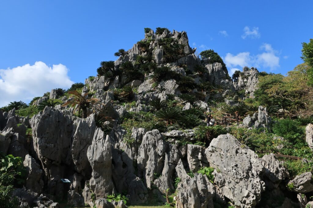
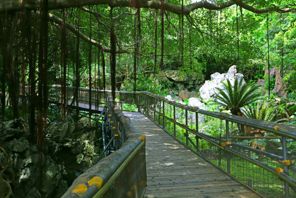
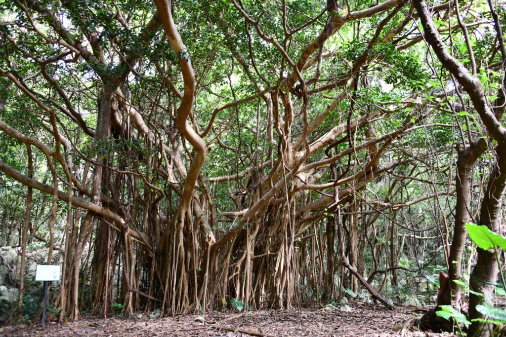
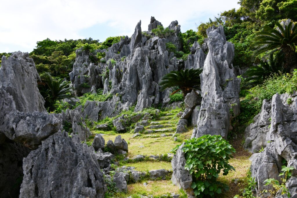
- Location: Okinawa Prefecture (Okinawa island)
- Elevation: 300 m (984 ft)
- Parent Range: Yanbaru Mountain Region
- Listing: UNESCO World Natural Heritage Site
Daisekirinzan, meaning "Great Stone Forest Mountain," is a remarkable geological attraction in the northern part of Okinawa Island, within the lush Yanbaru subtropical forest region.
Rather than a conventional mountain summit, it is famous for its extraordinary limestone formations, which have been shaped over millions of years by weathering and erosion. The landscape features towering limestone pinnacles, enormous boulders, natural stone arches, and unusual rock formations surrounded by dense subtropical vegetation.
Visitors can explore several well-maintained walking trails of varying lengths and difficulty, making it an accessible destination for families, casual walkers, and nature enthusiasts.
Iriomote Island Mountain Forests (西表島)
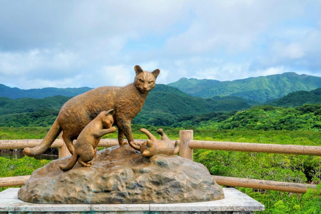
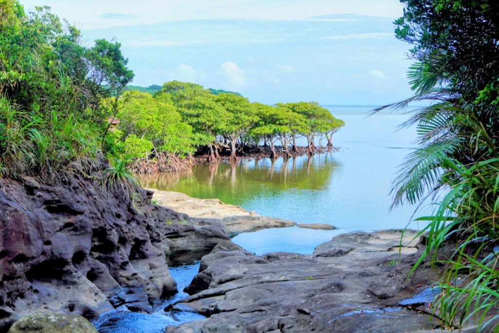
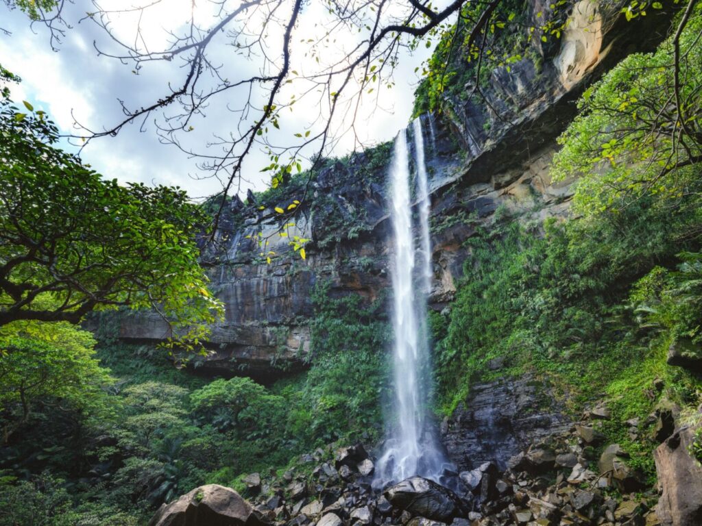
- Location: Okinawa Prefecture (Iriomote Island)
- Elevation: 469.5 m (1,541 ft)
- Parent Range: Ryukyu Islands
- Listing: UNESCO World Natural Heritage Site
Iriomote is a remarkable subtropical wilderness in the Yaeyama Islands of Okinawa Prefecture, renowned for its dense mountain forests, extensive mangrove wetlands, spectacular waterfalls, and extraordinary biodiversity.
Its highest peak, Mount Komi (古見岳), rises 469.5 meters (1,541 feet) above sea level and offers adventurous hikers spectacular views across the island's forested interior and surrounding coastline.
Iriomote is also home to the elusive Iriomote wildcat, an endangered species found nowhere else in the world.
Mount Ishikawa (石川岳)
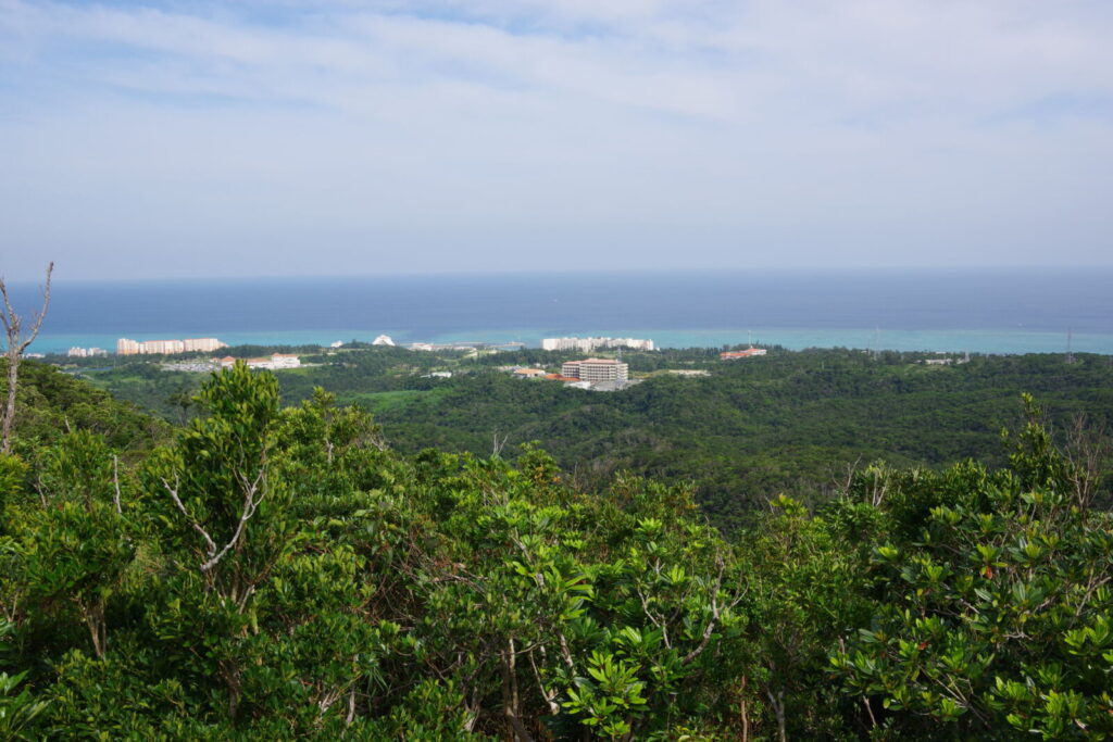
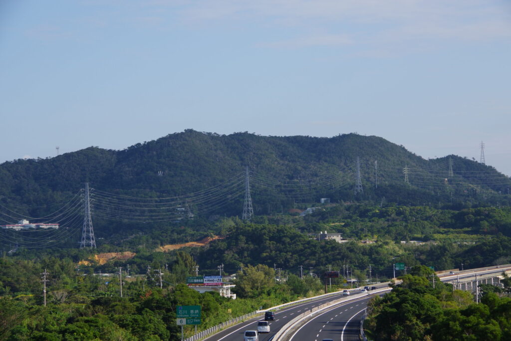
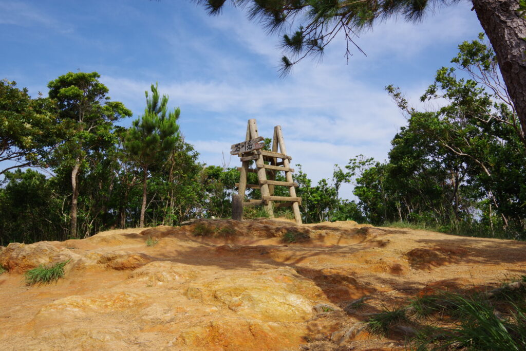
- Location: Okinawa Prefecture (Okinawa Island)
- Elevation: 204 m (669 ft)
- Parent Range: Kunigami Mountains
Mount Ishikawa is a forest-covered mountain in central Okinawa Island, and the highest point in Uruma City.
Although modest in elevation, the mountain is characterized by surprisingly rugged terrain, narrow valleys, and dense subtropical woodland. The surrounding forest is dominated by broadleaf trees which provides habitat for a lot of wildlife including tree lizards, birds, and amphibians.
Several hiking routes traverse the mountain, offering different opportunities to explore its subtropical environment. The trails pass through dense jungle-like woodland, bamboo groves, small streams, and secluded forest valleys. Some routes are relatively accessible to beginners, while longer and more challenging courses venture deeper into the forest, including sections alongside flowing streams and small waterfalls.
The summit viewpoint offers panoramic views of both the Pacific Ocean to the east and the East China Sea to the west.

Nakagusuku Limestone Ridge (中城石灰岩)丘陵)
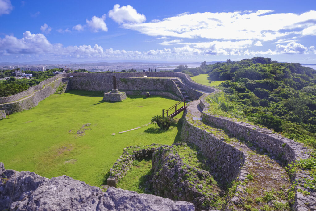
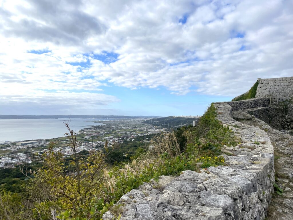
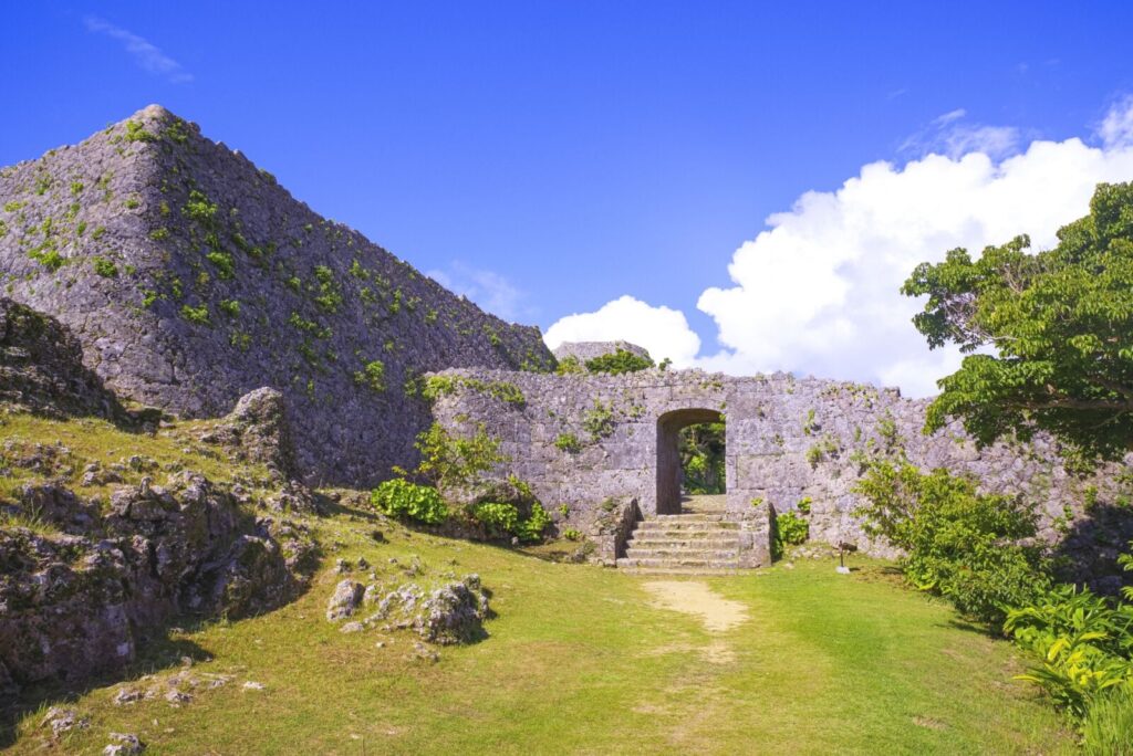
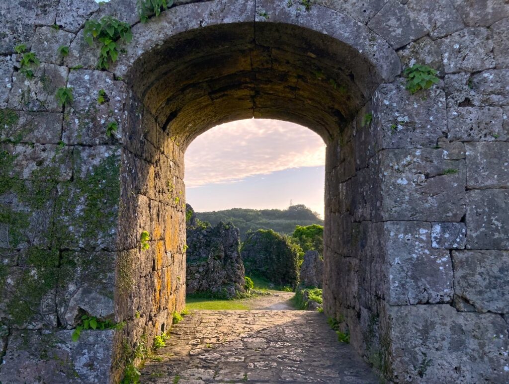
- Location: Okinawa Prefecture (Okinawa Island)
- Elevation: Approximately 150–170 m (492–558 ft)
- Parent Range: isolated ridge
- Listing: UNESCO World Heritage Site
The Nakagusuku Limestone Ridge is a long, gently elevated limestone formation in central Okinawa Island rising approximately 150–170 meters above sea level. The ridge is composed primarily of Ryukyu limestone, a sedimentary rock characteristic of theRyukyu Islands.
The ridge is particularly notable for the dramatic natural defenses it offered to Nakagusuku Castle, which occupied its elevated eastern edge. Its elevated position and distinctive topography provide sweeping views across the surrounding countryside and coastline.
From the ridge, visitors can enjoy exploring the castle’s ruins and panoramic views of Nakagusuku Bay and the Pacific Ocean.